
SUNGLOW CAMPGROUND
Campground · Fee not listed
Fast facts
- Cost
- Not listed. Check locally.
- Type
- Campground
- Phone
- 435-836-2811
- Coordinates
- 38.3417, -111.5189
- Last verified
- September 19, 2026
About this place
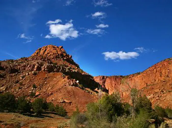
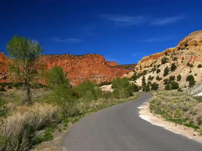
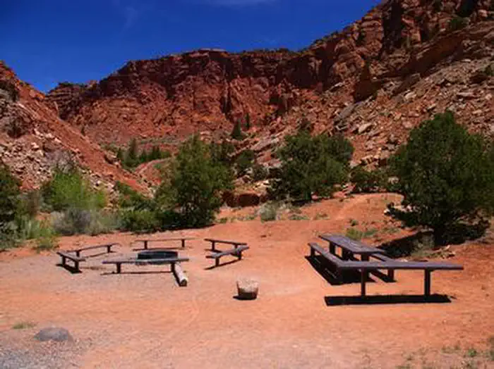
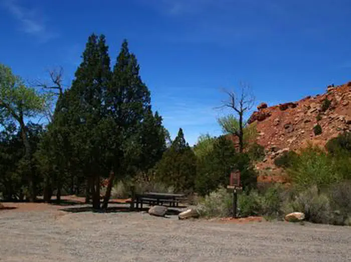
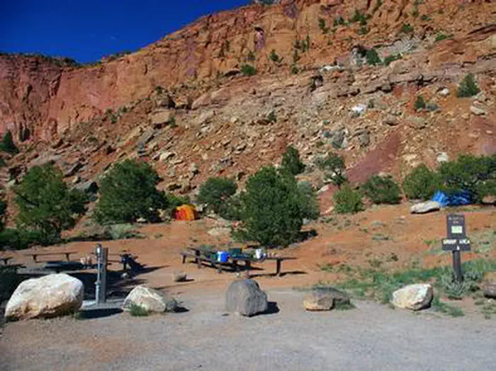
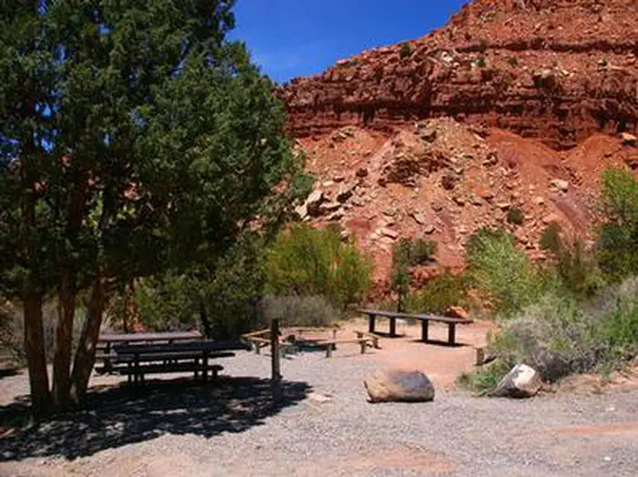
Overview Sunglow Campground is located in a scenic red rock box canyon just 2 miles from Bicknell, Utah. Visitors enjoy exploring local trails and day-tripping to Capitol Reef National Park. View Sunglow Campground Map Recreation Many miles of trails for hiking, biking and off-road vehicles are in the area. The Great Western Trail passes nearby. Facilities The campground contains two group sites that can accommodate up to 20 people each. Flush toilets and drinking water are provided. A large parking area can accommodate trailers. The road to the campground is paved, but the road and parking spurs within are gravel. Natural Features The canyon sits at an elevation of 7,200 feet. Cottonwoods and junipers provide very limited shade. Sagebrush and summer wildflowers dot the landscape. Nearby Attractions The Ke Bullock Waterfowl Management Area is nearby, just south of Bicknell, with wildlife viewing and fishing opportunities. Capitol Reef National Park is approximately 20 miles away, offering excellent hiking trails, historic sites, scenic driving and breathtaking scenery. Sightseeing along Utah Highway 12, a National Scenic Byway, is very popular. Travelers visit from every corner of the world to gaze upon stunning red rock canyons and desert landscapes. Contact Info For facility specific information, please call (877) 444-6777.
From the managing agency.
Is SUNGLOW CAMPGROUND free?
We do not have a fee on record for SUNGLOW CAMPGROUND. Confirm the cost locally before you go.
How do I get to SUNGLOW CAMPGROUND?
SUNGLOW CAMPGROUND is at 38.3417, -111.5189. We do not hold written directions for this one, so navigate to the coordinates.
Nearby
- Sunglow - Recreation Site0.1 mi
- Zedds Meadow Cua Dispersed8.2 mi
- ELKHORN CAMPGROUND9.1 mi
- AQUARIUS RANGER STATION10.6 mi
- Fremont River Cua Dispersed10.7 mi
- Round Lake Cua Dispersed11.3 mi
- Primitive campsites at Cathedral Campground12.3 mi
- Morrell Cua Dispersed14.9 mi
No other services within 50 mi on the record.
SourceSource data is agency published. Last synced September 19, 2026. Community reports and photos are submitted by travelers and are not verified by the agency.
