
Sand Flats Recreation Area Group Campsites
Campground · Fee not listed
Fast facts
- Cost
- Not listed. Check locally.
- Type
- Campground
- Phone
- 4352592444
- Coordinates
- 38.5677, -109.5271
- Last verified
- September 19, 2026
About this place
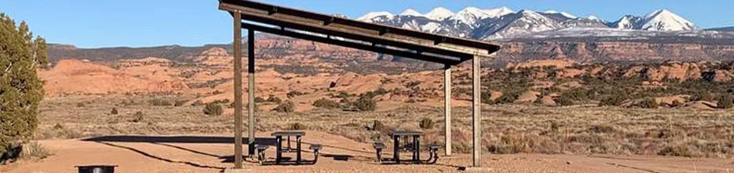
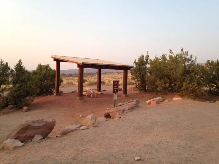
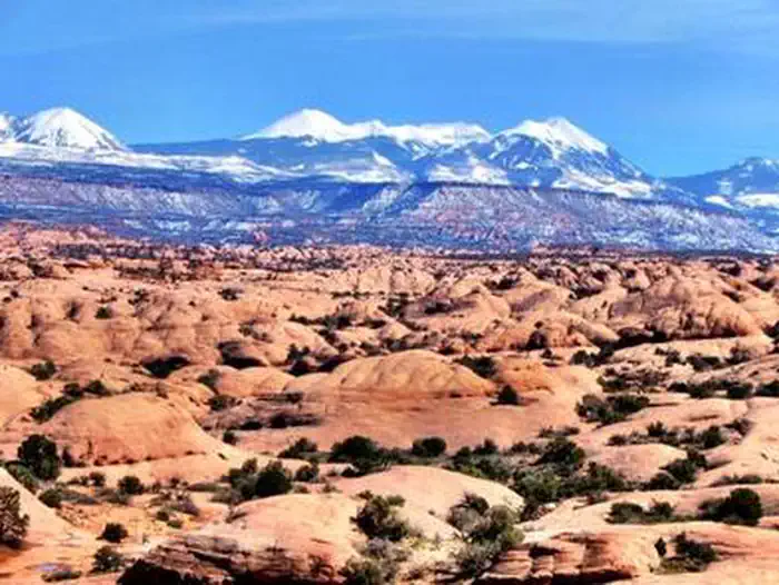
Overview Along with easy access to biking and off-highway vehicle trails, Sand Flats' campgrounds offer spectacular vistas of sandstone domes, canyons, and mesas in addition to the ever-changing La Sal Mountains as a dramatic back-drop. Visitors are awed by beautiful sunsets, the magic of howling coyotes and a night sky of seemingly unlimited stars. Recreation The Sand Flats Recreation Area is home to the Slickrock Bike Trail, a world renowned mountain biking destination. The area is also a premier destination for 4x4 and backcountry motorcycle enthusiasts. There is nearly 40 miles of off-highway vehicle trails to explore within the recreation area. Facilities The group campsites are located in the Datura and Echo campgrounds. All group sites accommodate up to 16 people. Both Datura A, B, and D and E-1 group sites have space for six passenger cars, or two to three RVs, or two to three trucks with camp trailers. The Datura C and E-10 group sites' parking areas are smaller and can only accomodate 4 passenger cars, or 1 RV and one truck with camp trailer. Facilities include shade structures, picnic tables and fire rings. There are nearby vault toilet facilities. Campers will need to bring drinking water. If you want to have a campfire, bring or purchase firewood in town. Wood collecting is prohibited. Natural Features The campground is set among slickrock domes and fins. The sites offer sweeping views of sandstone domes, canyons and mesas against the backdrop of the 13,000 ft. La Sal Mountains. Pinyon and juniper trees offer limited shade. Nearby Attractions The sites are located only five miles from downtown Moab, providing convenient access to many bike and off-highway vehicle trails, Arches and Canyonlands National Parks, Dead Horse Point State Park, the Colorado River and the La Sal Mountains. Charges & Cancellations If you do not arrive at the group campsite facility by check out time on the day after your scheduled arrival date, which is 11 am, you are considered a no show and your site will be made available to others.
From the managing agency.
Is this site free?
We do not have a fee on record for this site. Confirm the cost locally before you go.
How do I get to this site?
this site is at 38.5677, -109.5271. We do not hold written directions for this one, so navigate to the coordinates.
Nearby
- Grandstaff Campground3.0 mi
- King's Bottom Campground3.2 mi
- Goose Island Group Sites3.3 mi
- Goose Island Campground3.3 mi
- Jaycee Park Campground4.3 mi
- William's Bottom Campground4.7 mi
- Hunter Canyon Group Site5.5 mi
- Gold Bar Group Sites5.8 mi
No other services within 50 mi on the record.
SourceSource data is agency published. Last synced September 19, 2026. Community reports and photos are submitted by travelers and are not verified by the agency.
