
San Rafael Swinging Bridge Campground
Campground · Fee not listed
Fast facts
- Cost
- Not listed. Check locally.
- Type
- Campground
- Nearest dump station
- Soldier Creek Comfort Station · 77.1 mi
- Coordinates
- 39.0789, -110.6647
- Last verified
- September 19, 2026

About this place
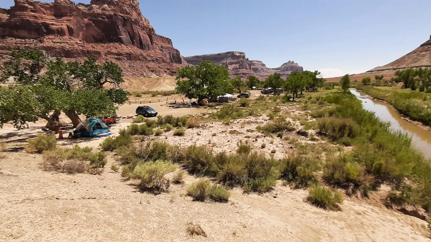
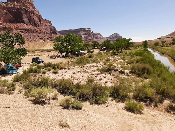
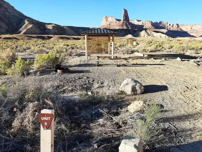
Overview These campgrounds are located just outside the South end of Buckhorn Draw where Buckhorn Wash converges with the San Rafael River. Uniquely in the heart of the Northern San Rafael Swell and part of the San Rafael Recreation Area. The San Rafael River is adjacent to these campgrounds and separates Swinging Bridge North and the Equestrian Campground from Swinging Bridge South. The historic San Rafael Swinging Bridge, Utah's oldest intact suspension bridge, a 160-foot-long suspension bridge built by the Civilian Conservation Corps in 1937 was once the only bridge over the San Rafael River and used until 1990 when the bridge next to it was constructed. There are three different campground loops at this location: Swinging Bridge North, the Equestrian Loop and Swinging Bridge South. All three loops have tent pads, picnic tables, toilets, parking areas and fire rings. Swinging Bridge North Loop consists of 1 large group site and 8 individual campsites containing. It has a few cottonwood trees, which are good for shade in the hot summer months. Swinging Bridge South Loop has 11 campsites and some shade structures. The Equestrian Loop has 6 campsites as well as corrals at each site and a central corral area. There is no drinking water or trash removal services at these campgrounds. Please pack it out. Camping at each of these sites is $15 per site per night. Recreation This campground has many recreation opportunities nearby including: OHV trails, rock climbing, hiking, mountain biking and much more. Natural Features This recreation site is located in the heart of the Northern San Rafael Swell, where Buckhorn Wash joins with the San Rafael River. These campsites sit atop the banks of the San Rafael River and are bordered by the lofty escarpment of Buckhorn Draw to the North and large buttes such as Assembly Hall Peak and Window Blind Peak to the Southeast which can be viewed from all three campgrounds. Bottle Neck Peak is a few minute drive south along the Buckhorn Wash road located on the West side. Also visible from the campgrounds is the end of the Little Grand Canyon of the San Rafael River, campers who journey to the Wedge Overlook are rewarded with stunning views of The Little Grand Canyon. Common wildlife sightings are Mule Deer, Antelope, and Bighorn Sheep which may be seen in the morning or evening hours. Nearby Attractions Nearby attractions include: The historic San Rafael Swinging Bridge for which the campgrounds are named. Access to the southern trail head for the Little Grand Canyon hiking trail (a 17-mile point to point hiking trail with numerous river crossings). This trail is not maintained. Assembly Hall Peak and Window Blind Peak which are located to the south east and can be viewed from all three campgrounds. Bottle Neck Peak which is a few minute drive south along the Buck Horn Wash road located on the west side. Mexican Mountain Road the entry road for the North and Equestrian Campgrounds is 30 mile out and back, semi-primitive dirt road (4WD and high clearance advised) leading to primitive hiking trails, rock climbing routes and technical canyoneering routes. Buck Horn Draw which contains: Native American rock art; the Cow, Calf and Pine Canyon hiking trails; the Buckhorn Dinosaur Track; Furniture Draw, a non-technical entry level slot canyon; numerous rock climbing routes; and the MK Tunnels (1950's Cold War explosive test sites). Other Nearby attactions include: Jurassic National Monument and the Cleveland-Lloyd Dinosaur Quarry, Open seasonally (April thru October) Thursday - Sunday from (10 am to 5 pm). The Wedge Overlook, overlooking the LIttle Grand Canyon of the San Rafael River Corridor. Good Water Rim Mountain Bike Trail a 17-mile non-motorized single track trail. Cane Wash Road intersects with Buckhorn Draw Road several miles south of Swinging Bridge Campground and can be used to access Fix-It Pass, Coal Wash and the Devils Race Track.
From the managing agency.
Is this site free?
We do not have a fee on record for this site. Confirm the cost locally before you go.
How do I get to this site?
this site is at 39.0789, -110.6647. We do not hold written directions for this one, so navigate to the coordinates.
Nearby
SourceSource data is agency published. Last synced September 19, 2026. Community reports and photos are submitted by travelers and are not verified by the agency.
