
POTTERS POND
Campground · Fee not listed
Fast facts
- Cost
- Not listed. Check locally.
- Type
- Campground
- Phone
- 435-384-2372
- Nearest dump station
- Soldier Creek Comfort Station · 50.2 mi
- Coordinates
- 39.4467, -111.2733
- Last verified
- September 19, 2026


About this place
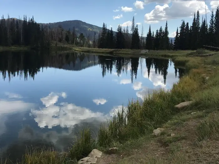
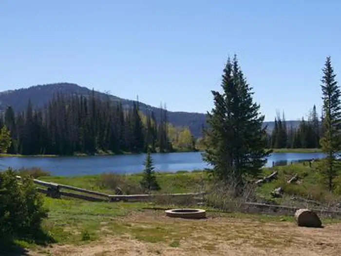
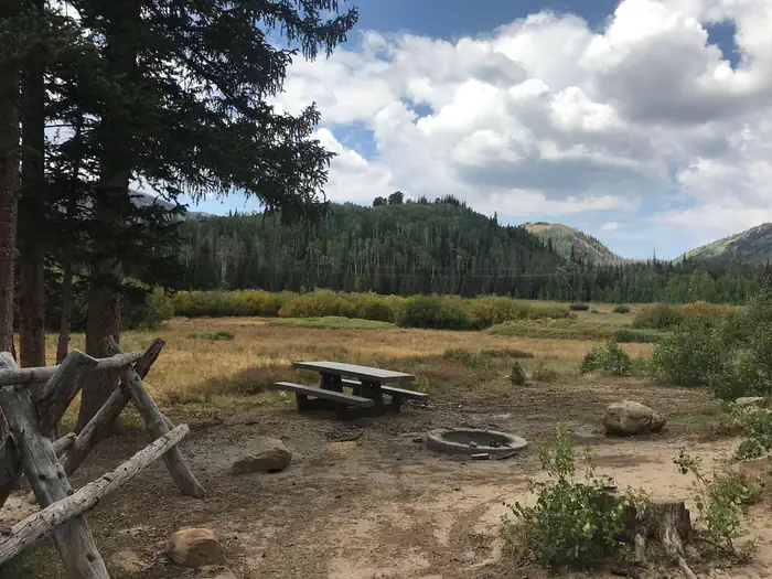
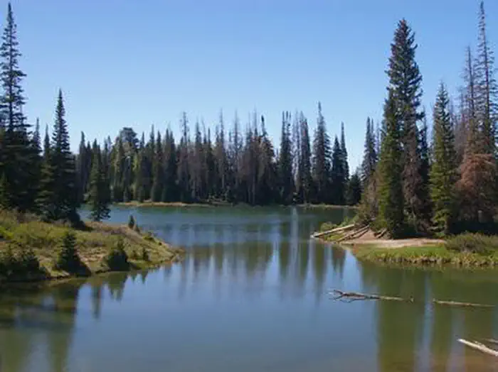
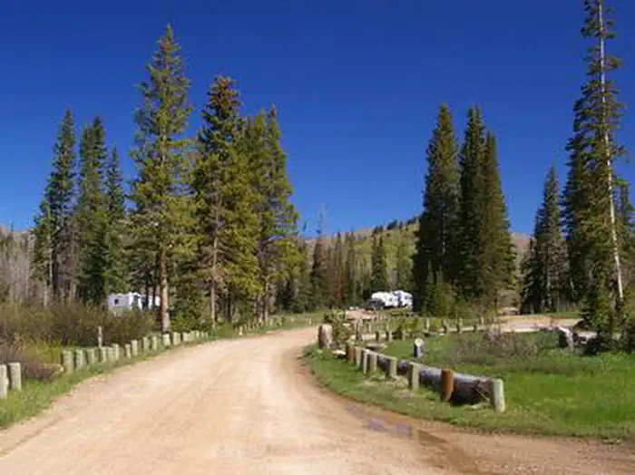
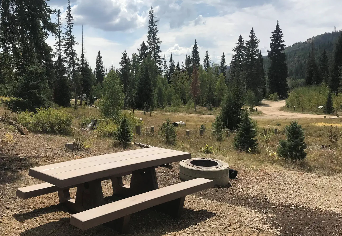
Overview Potters Pond Campground is located in a high mountain valley next to two scenic ponds, at an elevation of 8,900 feet. Visitors enjoy fishing, canoeing, horseback riding and exploring the surrounding off-road vehicle trails. Recreation The ponds offer great canoeing and rainbow trout fishing. Horseback riding, hiking and mountain biking are popular in the area as well. The expansive Arapeen OHV Trail System can be accessed from the campground and has more than 350 miles of designated, well-maintained trails for off-road vehicles. The trails are suitable for all riding levels. Facilities This campground offers a variety of campsites, including single, double and equestrian sites. Some sites have views of the ponds and most sites are shaded. Sites are equipped with tables and campfire rings with grills. Vault toilets are provided, but there is no water, electricity or trash collection available within the campground. Visitors will need to bring their own water, as well as pack out all garbage. Roads and parking spurs within the campground are dirt. The campground can be reached via the well-maintained dirt and gravel Miller Flat Road, which provides relatively easy access for cars and RVs. Natural Features Potters Pond lies in Upper Joe's Valley in Central Utah. Pine trees and wild grasses cover the area, while aspens dot the surrounding mountainsides. Charges & Cancellations A $10.00 service fee will apply if you change or cancel your reservation. Late cancellations are subject to additional fees. For full details see NRRS Reservation Policy.
From the managing agency.
Is POTTERS POND free?
We do not have a fee on record for POTTERS POND. Confirm the cost locally before you go.
How do I get to POTTERS POND?
POTTERS POND is at 39.4467, -111.2733. We do not hold written directions for this one, so navigate to the coordinates.
Nearby
SourceSource data is agency published. Last synced September 19, 2026. Community reports and photos are submitted by travelers and are not verified by the agency.
