
NIZHONI
Campground · Fee not listed
Fast facts
- Cost
- Not listed. Check locally.
- Type
- Campground
- Phone
- 435-587-2041
- Coordinates
- 37.7817, -109.5397
- Last verified
- September 19, 2026
About this place
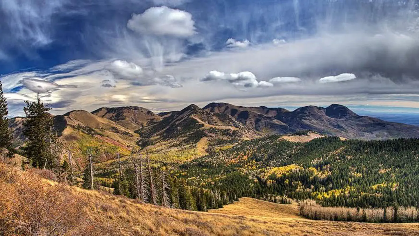
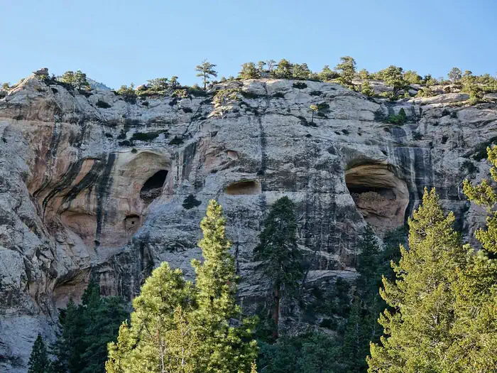
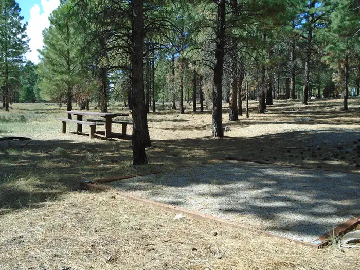
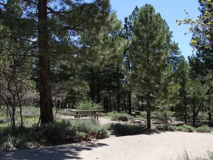
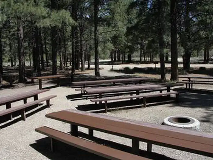
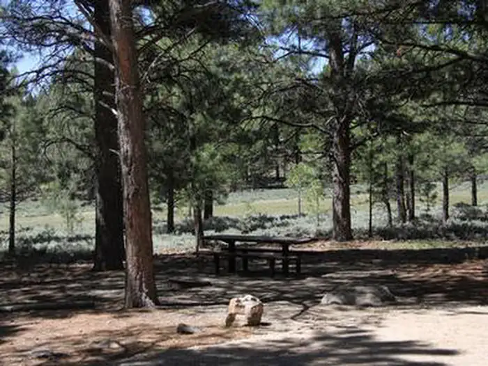
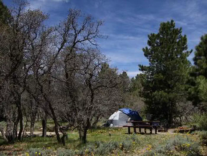
Overview Nizhoni Campground sits in the Manti-LaSal National Forest in southeast Utah, at the foot of the Abajo Mountains. Recreation Popular activities include hiking, wildlife viewing and off-road vehicle riding. Several trailheads are nearby, including Shay Ridge, Aspen Flat and Red Ledges. The Abajo Loop State Scenic Backway passes by the campground. It leads from the desert floor and red rock canyons to steep mountains over 10,000 feet high, with overlooks and panoramic views. The byway is suitable for passenger vehicles from late spring through fall but is not recommended for large RVs. Facilities The campground contains two group sites that each accommodate up to 50 guests. Several single-family sites are available as well. Picnic tables and fire rings are provided, as are vault toilets and drinking water seasonally. Firewood may be collected in and around the campground. Roads and parking spurs are gravel. There is a 14 day stay limit at this campground. Natural Features Towering Ponderosa pines forest the site, offering partial shade. Gambel oaks and sagebrush dot the landscape. The campground sits at an elevation of 7,000 feet, and summer temperatures range from 80-90 degrees during the day and 55-65 degrees at night. Mule deer, wild turkeys, Abert's squirrels and the occasional black bear may be seen in the area. Nearby Attractions Other attractions in the area include Canyonlands, Arches and Mesa Verde National Parks, Dark Canyon Wilderness, Edge of the Cedars State Park, Lake Powell and numerous archaeological sites.
From the managing agency.
Is NIZHONI free?
We do not have a fee on record for NIZHONI. Confirm the cost locally before you go.
How do I get to NIZHONI?
NIZHONI is at 37.7817, -109.5397. We do not hold written directions for this one, so navigate to the coordinates.
Nearby
- Nizhoni Campground0.1 mi
- DEVILS CANYON7.7 mi
- Devils Canyon Campground7.9 mi
- Buckboard Campground8.4 mi
- BUCKBOARD8.4 mi
- Dalton Springs Campground8.6 mi
- Bridger Jack Mesa Designated Dispersed Camping21.0 mi
- Superbowl Group Site25.5 mi
No other services within 50 mi on the record.
SourceSource data is agency published. Last synced September 19, 2026. Community reports and photos are submitted by travelers and are not verified by the agency.
