
MAPLE CANYON
Campground · Fee not listed
Fast facts
- Cost
- Not listed. Check locally.
- Type
- Campground
- Phone
- 435-283-4151
- Nearest dump station
- Strawberry Bay Comfort Station · 51.0 mi
- Coordinates
- 39.5569, -111.6864
- Last verified
- September 19, 2026

About this place
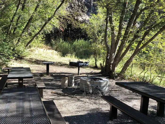
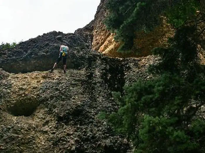
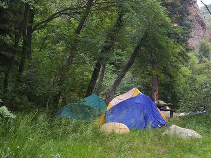
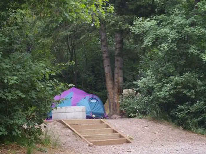
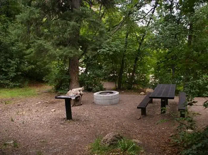
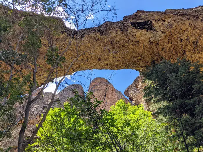
Overview Maple Canyon Campground is known for its unique cliffs, arches, and scenic views of the Sanpitch Mountains. It is a small campground nestled between towering conglomerate rock walls on either side of the canyon. A favorite among rock climbers, notably for a formation called The Pipe Dream, the campground is just 3 miles from Freedom, Utah. Recreation Rock climbing is the campground's main draw, attracting climbers from all over the world with its numerous routes for beginners and experts alike. Over 140 bolted routes are available with climbing grades from 5.4 to 5.14. Facilities The campground contains one group site and several single-family sites. Sites 2, 3 and 4 are walk-to tent sites that must be accessed by carrying gear a short distance from the parking area. Vault toilets are provided but there is no water. Roads and parking spurs are dirt. Accessible by all passenger vehicles. Natural Features The campground is nestled among thick groves of maples below beautiful, towering conglomerate walls at an elevation of 6,700 feet. The canyon contains over 40 cliffs ranging in height from 30 to 300 feet. A variety of wildlife makes its home in the canyon. Nearby Attractions The canyon offers some excellent hiking, biking and horseback riding opportunities. Three steep scenic loop trails (three to five-mile loops) provide access to many of the rock climbing sites in the canyon, such as the famous Pipe Dream tunnel. Panoramic views east into Sanpete Valley and beyond to the Wasatch Plateau reveal themselves near the tops of the trails and cliffs. The Sanpitch Recreation Area and Chicken Creek Campground can be found nearby.
From the managing agency.
Is MAPLE CANYON free?
We do not have a fee on record for MAPLE CANYON. Confirm the cost locally before you go.
How do I get to MAPLE CANYON?
MAPLE CANYON is at 39.5569, -111.6864. We do not hold written directions for this one, so navigate to the coordinates.
Nearby
SourceSource data is agency published. Last synced September 19, 2026. Community reports and photos are submitted by travelers and are not verified by the agency.
