
IRON SPRINGS GROUP ASHLEY
Campground · Fee not listed
Fast facts
- Cost
- Not listed. Check locally.
- Type
- Campground
- Phone
- 435-789-1181
- Nearest dump station
- Lily Lake Comfort Station · 67.7 mi
- Coordinates
- 40.7022, -109.5578
- Last verified
- September 19, 2026
About this place
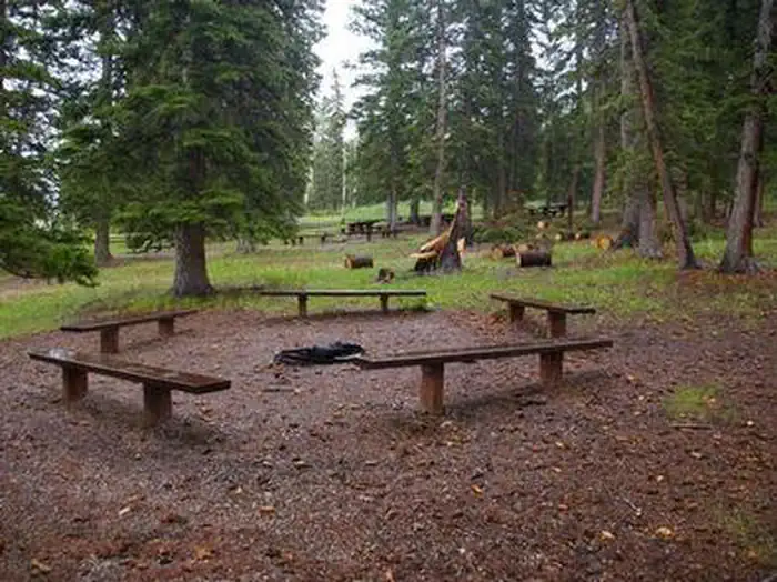
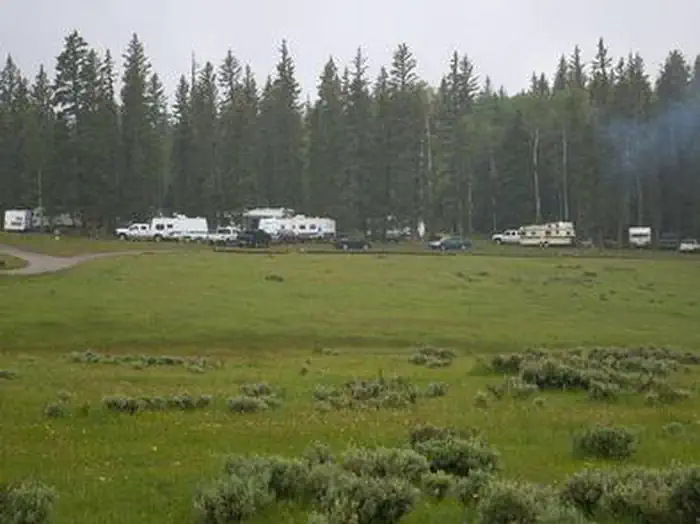
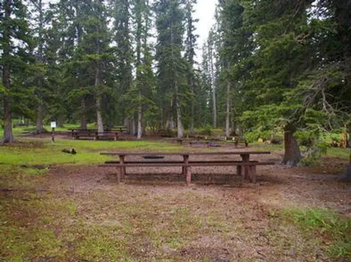
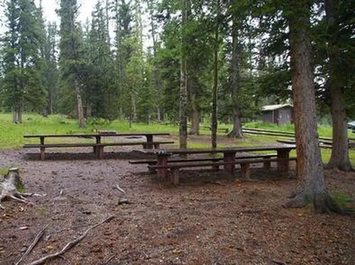
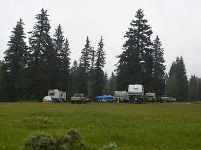
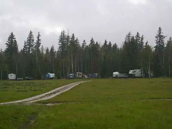
Overview Iron Springs Group Campground is located approximately 5 miles off U.S. Highway 191, along the Red Cloud Loop Scenic Backway at an elevation of 9,200 feet. Campers enjoy exploring local off-road trails. The Iron Springs Campground Group Sites include both the fenced-in area with picnic tables, and the areas immediately adjacent to site 1 and 2 with a quarter mile for overflow parking. *Please check the NEED-TO-KNOW section to see if drinking water is available at this location * Recreation Red Cloud Loop offers scenic driving on a maintained dirt road, providing miles of trails for ATVs, hikers and mountain bikers. The loop leads to numerous reservoirs and lakes, overlooks, historic sites and through forests and meadows. East Park and Oaks Park Reservoirs are less than 10 miles away. Both are stocked with catchable rainbow trout. A boat ramp is available at East Park; Oaks Park does not have a boat ramp. Brush Creek Caves are nearby, a popular destination for caving and geocaching. Don't forget to take a drive and visit the amazing Flaming Gorge Reservoir! There are lots of hikes and trail near the reservoir, horseback rides, guided fishing trips, ample birding and wildlife viewing opportunities, and a few local restaurants. Facilities The campground consists of two group sites that can accommodate up to 50 people each. Vault toilets are provided. Please check the "need to know" section to see if water is available. Picnic tables and campfire circles are located at each site. Large gravel parking areas are adjacent. Natural Features Iron Springs lies at the edge of a grassy meadow bordered by shady pines and aspens. Sagebrush and summer wildflowers dot the meadow. Many small lakes and streams can be found in the vicinity. Nearby Attractions Flaming Gorge National Recreation Area is known not only for its beautiful red cliffs, but also for its world-class fishing for lake, brown and rainbow trout. Boating, water skiing, jet skiing, canoeing, kayaking, swimming and scuba diving are popular activities on the reservoir. Flaming Gorge Dam offers guided tours of the working hydroelectric plant and the dam itself; The adjacent visitor center contains area history exhibits. The Green River below the dam provides spectacular rafting opportunities. A trip down the river offers unique geology, outlaw history and Native American rock art. The Ashley-Karst National Geologic Recreation Area offers dramatic canyons, densely forested backcountry areas, and vast networks of caves.
From the managing agency.
Is IRON SPRINGS GROUP ASHLEY free?
We do not have a fee on record for IRON SPRINGS GROUP ASHLEY. Confirm the cost locally before you go.
How do I get to IRON SPRINGS GROUP ASHLEY?
IRON SPRINGS GROUP ASHLEY is at 40.7022, -109.5578. We do not hold written directions for this one, so navigate to the coordinates.
Nearby
SourceSource data is agency published. Last synced September 19, 2026. Community reports and photos are submitted by travelers and are not verified by the agency.
