
GREENDALE
USFS · Campground · Fee
Fast facts
- Cost
- Fee charged
- Managed by
- USFS
- Type
- Campground
- Reservations
- recreation.gov
- Phone
- 435-889-3000
- Nearest dump station
- Lily Lake Comfort Station · 71.5 mi
- Coordinates
- 40.8817, -109.4578
- Last verified
- September 19, 2026
About this place
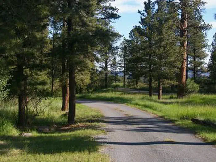
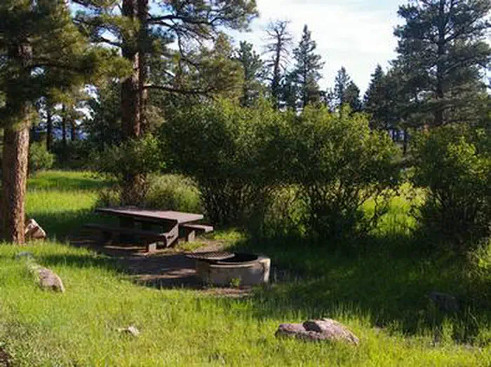
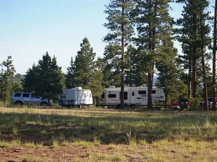
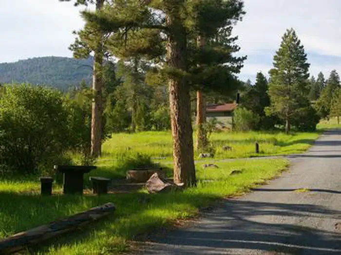
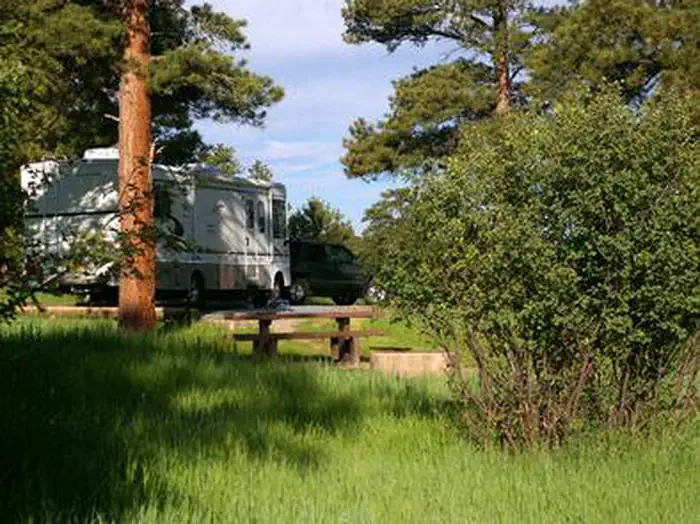
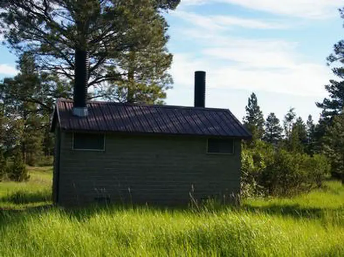
Overview Greendale Campground is located in the beautiful Flaming Gorge National Recreation Area on the Ashley National Forest at an elevation of 6,900 feet. Flaming Gorge Reservoir is nearby, offering exciting recreational activities like boating, fishing and swimming. Recreation Bear Canyon Trail is an easy 3-mile round-trip trail beginning a mile away, offering hiking and biking opportunities and leading to views of Red Canyon and Flaming Gorge Reservoir. Beautiful Flaming Gorge Reservoir is less than 5 miles from the campground. The reservoir is known for its world-class fishing for lake, brown and rainbow trout. Boating, water skiing, jet skiing, canoeing, kayaking, swimming and scuba diving are also popular activities. Cedar Springs Marina is 3.5 miles from the campground. Facilities The campground offers eight single sites on the west side of the road; on the east side are two group sites for up to 40 people each. Sites are equipped with picnic tables and campfire rings with grills. Vault toilets and drinking water are provided. Roads and spurs on the west side are paved. Roads and parking areas on the east side are dirt. Natural Features A forest of ponderosa pines towers over Greendale, offering partial shade. Beneath the trees, grasses and plentiful summer wildflowers cover the campground. Temperatures vary from warm days to cool nights. Contact Info For facility specific information, please call (801) 226-3564. Nearby Attractions Flaming Gorge Dam offers guided tours of the working hydroelectric plant and the dam, and the adjacent visitor center contains area history exhibits. The Green River below the dam provides spectacular rafting opportunities. A trip down the river offers unique geology, outlaw history and Native American rock art.
From the USFS.Official page
Is GREENDALE free?
No. GREENDALE charges a fee. It is managed by the USFS. Sites are reservable through recreation.gov.
How do I get to GREENDALE?
GREENDALE is at 40.8817, -109.4578. We do not hold written directions for this one, so navigate to the coordinates.
Nearby
SourceData from the USFS. Last synced September 19, 2026. Community reports and photos are submitted by travelers and are not verified by the agency.
