
FRUITA CAMPGROUND
Campground · Fee
Fast facts
- Cost
- $25.00
- Type
- Campground
- Sites
- 65 total · 65 reservable · 0 first come
- Reservations
- recreation.gov
- Phone
- (435)425-4172(MON-THUR) OR (435)425-3791(FRI-SUN) OR EMAIL [email protected]
- Coordinates
- 38.2825, -111.2469
- Last verified
- September 19, 2026

About this place
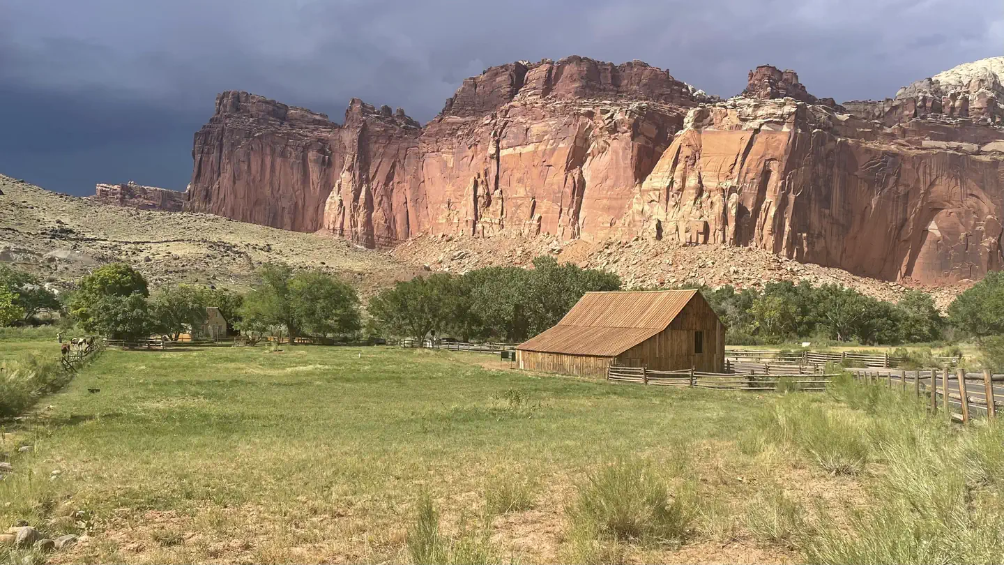
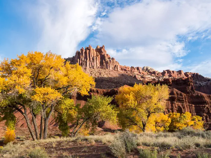
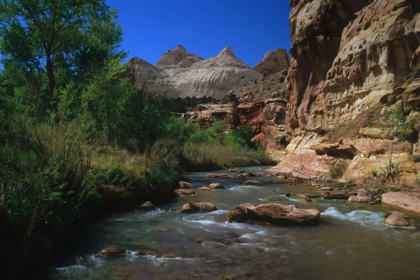
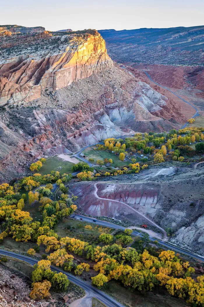
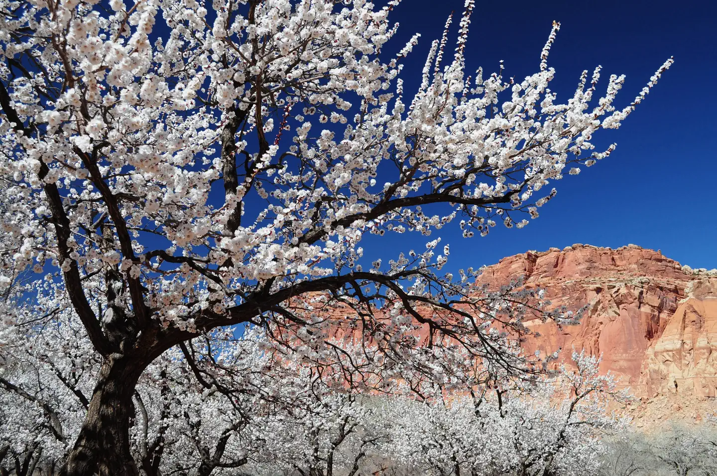
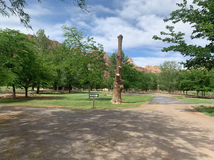
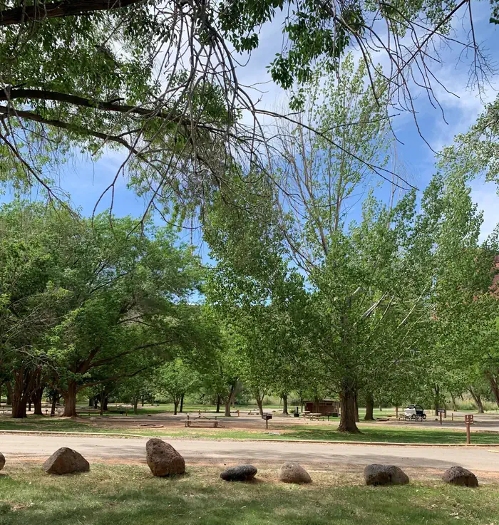
Overview Located in south-central Utah in the heart of red rock country, Capitol Reef National Park is a hidden treasure filled with cliffs, canyons, domes and bridges in the Waterpocket Fold, a geologic monocline (a wrinkle on the earth) extending almost 100 miles (160 km). The Fruita Campground has 71 sites. 65 sites are reservable year round- there are no longer first come, first serve sites any time of year . Sites 1, 2, 3, 6, 7 and 8 are used as administrative sites. Sites 14, 24, and 63 are accessible sites with electrical hookups. From March 1 through Thanksgiving weekend, generators are only permitted in Loop C during generator hours. The remainder of the year, generators are allowed in Loops A and B during generator hours. Recreation Walk to historic inscriptions on the Capitol Gorge Trail and stroll the Goosenecks Trail or longer trails such as Cohab Canyon, Chimney Rock, and Cassidy Arch. Check out our Trail Guide to explore your options. Enjoy the geology and view the Fremont Culture Petroglyphs along Hwy 24. In addition, the Scenic Drive will introduce you to the fascinating cultural and geological history of Capitol Reef National Park. The drive includes a portion of the original road through the Waterpocket Fold. The road passes through parts of the Fruita Historic District and follows the western faces of the Waterpocket Fold, and spur roads allow exploration into beautiful Grand Wash and Capitol Gorge. Check at the Visitor Center for a current schedule of interpretive programs, which may include geology talks, Fremont culture talks, evening programs, star gazing, moonwalks, and geology hikes. Wander through the historic Fruita Orchards and pick fresh fruit when in season. The orchards contain approximately 3,100 trees including cherry, apricot, peach, pear, apple, plum, mulberry, almond, and walnut. Discover Mormon pioneer history at the historic Gifford Homestead store and museum. Facilities The Fruita Campground has 71 sites. 65 sites are reservable year round. Sites 1, 2, 3, 6, 7 and 8 are used as administrative sites. Each site has a picnic table and fire ring (except sites 7, 48 and 50, which only have an above ground grill). There is a RV dump and potable water fill station near the entrance to Loops A and B. Restrooms have running water and flush toilets, but no showers. Accessible campsites are located adjacent to restrooms. Campsites have no individual water or sewage hookups. There are no electrical hookups (except accessible sites 14, 24, and 63). Electrical hookups at these sites are for required medical devices only. There are no first-come, first-served sites during reservation season. A Fruita Campground map (PDF) is available on the park website. Natural Features The Fruita Campground area is located one mile south of the visitor center and is often described as an oasis within the desert. Fruita Campground is a semi-shaded, grassy campground and is located in the Fruita Historic District of the park. Nearby Attractions The Fruita campground is adjacent to the Fremont River and is a short walk from the group site, amphitheater, picnic areas, hiking trails, the historic Gifford house and orchards. Contact Info For facility specific information, please call (435) 425-3791.
From the managing agency.Official page
Is FRUITA CAMPGROUND free?
No. FRUITA CAMPGROUND charges $25.00. 65 of its sites are reservable through recreation.gov.
Can I bring an RV to FRUITA CAMPGROUND?
FRUITA CAMPGROUND has 65 sites on record. 65 sites are reservable and 0 are first come.
How do I get to FRUITA CAMPGROUND?
The Fruita Campground is approximately 1 mile south of the Visitor Center on the Scenic Drive.
What is the weather like at FRUITA CAMPGROUND?
For current weather conditions, refer to the recorded message on our automated phone system at (435) 425-3791. Press 1 for more information, and 3 for the daily weather forecast. Weather is also posted daily at the visitor center.
Nearby
- Capitol Reef Group Campground0.3 mi
- Group Campsite0.3 mi
- Fremont River Cua Dispersed5.0 mi
- Zedds Meadow Cua Dispersed8.9 mi
- SINGLETREE9.4 mi
- Singletree Campground9.6 mi
- LOWER BOWNS12.3 mi
- Lower Bowns Campground12.3 mi
No other services within 50 mi on the record.
SourceSource data is agency published. Last synced September 19, 2026. Community reports and photos are submitted by travelers and are not verified by the agency.
