
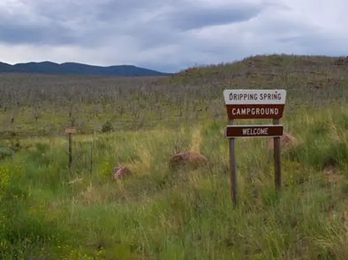
DRIPPING SPRINGS CAMPGROUND (UT)
Campground · Fee not listed
Fast facts
- Cost
- Not listed. Check locally.
- Type
- Campground
- Phone
- 435-889-3000
- Nearest dump station
- Lily Lake Comfort Station · 76.7 mi
- Coordinates
- 40.9228, -109.3572
- Last verified
- September 19, 2026
About this place
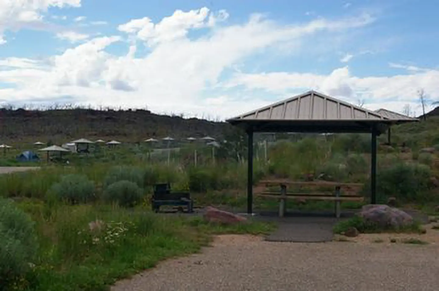
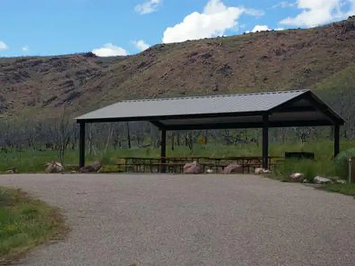
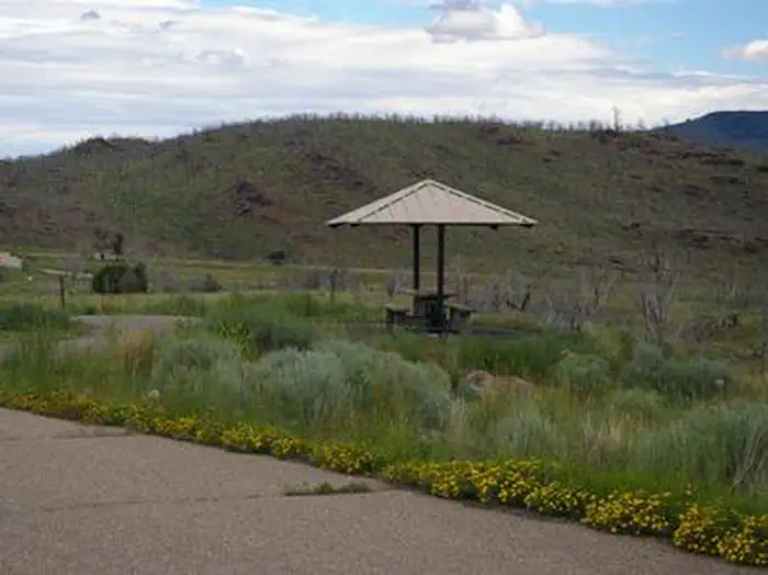
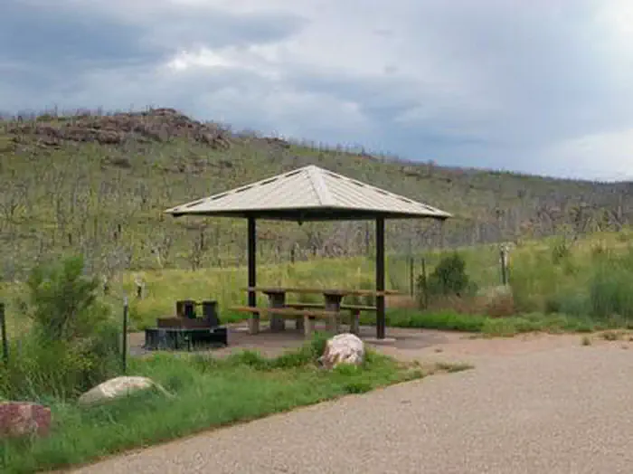
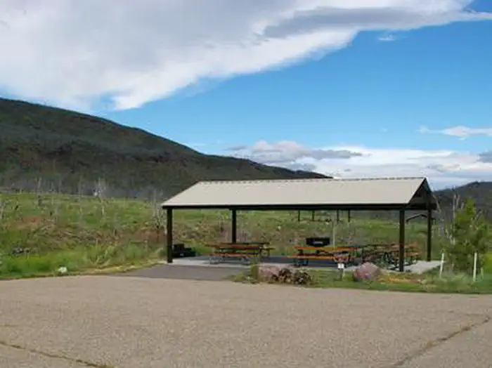
Overview Dripping Springs Campground is situated at an elevation of 6,000 feet in rolling high desert terrain near Flaming Gorge Reservoir. The campground is part of the Flaming Gorge National Recreation Area in the Ashley National Forest. Campers frequent Dripping Springs for its close proximity to the Green River and Little Hole, both of which offer excellent rafting and world-class fishing opportunities. Recreation Dripping Springs is surrounded by places to boat, raft, fish, hike and mountain bike. Little Hole Boat Launch and Day-Use Area on the Green River is nearby, offering great rainbow, brown and cutthroat trout fishing. The 7-mile Little Hole National Recreation Trail begins near the campground, meandering along the Green River from Flaming Gorge Dam. The trail can be done in shorter segments or as a whole. Flaming Gorge National Recreation Area is known not only for its beautiful red cliffs but also for its world-class fishing, boating, hiking, camping, water skiing, jet skiing, canoeing, kayaking, swimming and scuba diving. Click Here to learn more about the Ashley National Forest and the Flaming Gorge NRA. Facilities Dripping Springs is open year-round, and campsites are available on a first-come, first-served basis outside of the reservation season. The campground offers several single-family sites with shelters, tables and campfire rings. Four group sites are available as well, with large shelters, tables, campfire rings and grills. Flush toilets and drinking water are provided. Natural Features Nearly every site within the campground offers scenic reservoir and mountain views. Russian olive trees and cottonwoods dot the rolling, sagebrush-covered landscape. Shade is limited, and temperatures range from warm days to cool nights. Nearby Attractions Flaming Gorge Dam offers guided tours of the working hydroelectric plant and the dam, and the adjacent visitor center contains area history exhibits. Contact Info For facility specific information, please call (801) 226-3564.
From the managing agency.
Is DRIPPING SPRINGS CAMPGROUND (UT) free?
We do not have a fee on record for DRIPPING SPRINGS CAMPGROUND (UT). Confirm the cost locally before you go.
How do I get to DRIPPING SPRINGS CAMPGROUND (UT)?
DRIPPING SPRINGS CAMPGROUND (UT) is at 40.9228, -109.3572. We do not hold written directions for this one, so navigate to the coordinates.
Nearby
SourceSource data is agency published. Last synced September 19, 2026. Community reports and photos are submitted by travelers and are not verified by the agency.
