
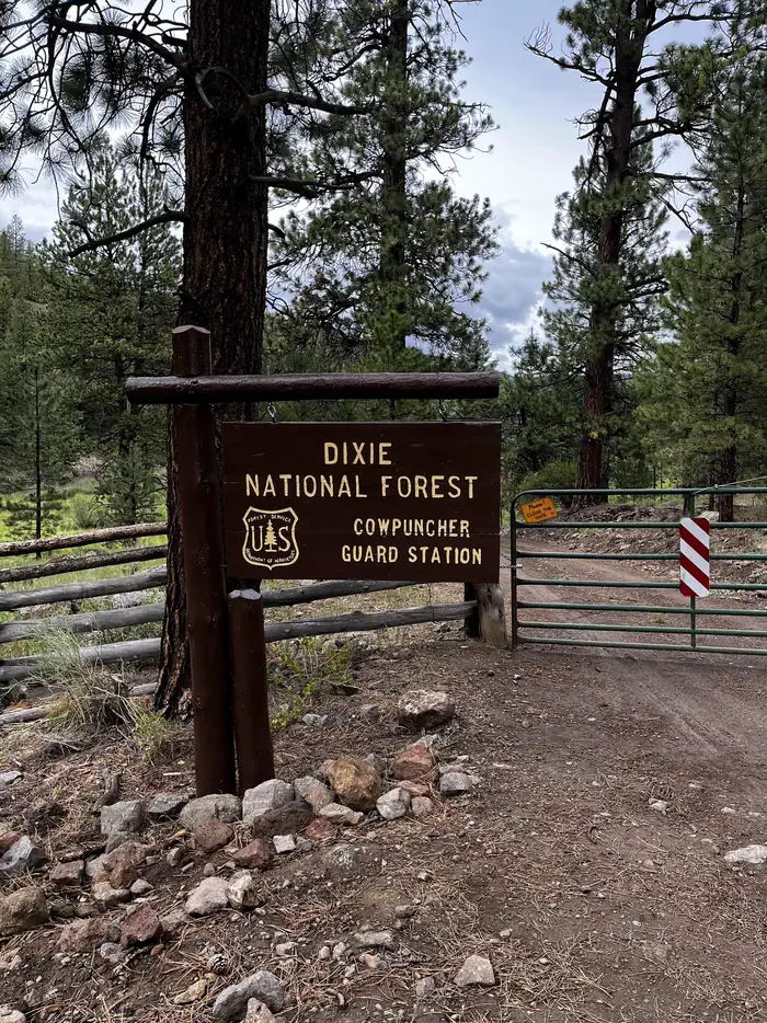
COWPUNCHER GUARD STATION
Campground · Fee not listed
Fast facts
- Cost
- Not listed. Check locally.
- Type
- Campground
- Phone
- 435-826-5499
- Coordinates
- 37.9997, -111.6594
- Last verified
- September 19, 2026


About this place
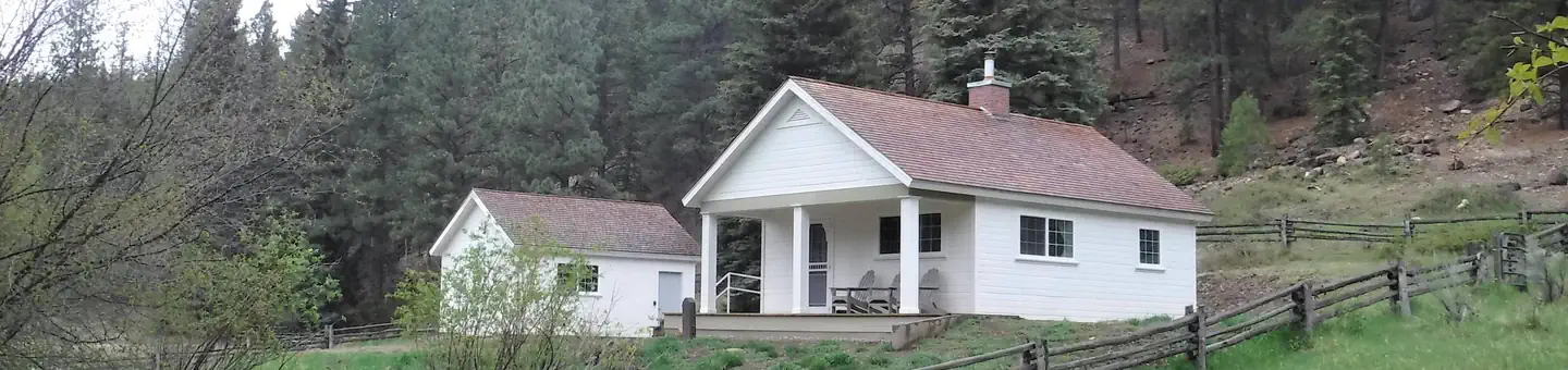
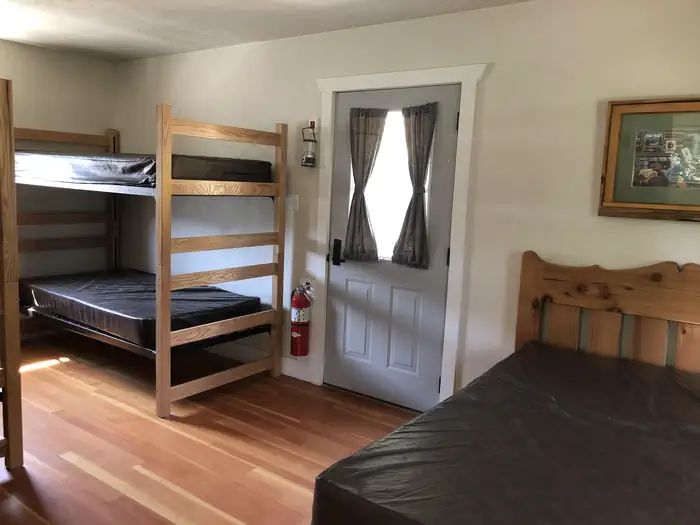
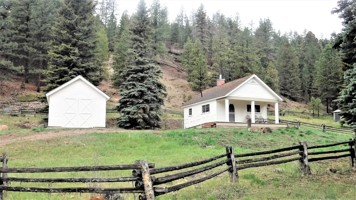
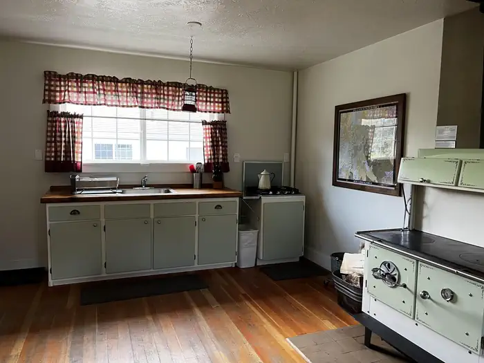
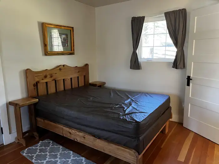
Overview Cowpuncher Guard Station is located in the Dixie National Forest, 20 miles northeast of the town of Escalante in southern Utah. The cabin is situated just off the Hells Backbone Road and is accessed by road during summer and fall. Roads are usually closed by snow 5.5 miles from the cabin from late November to mid-April. Check the ranger station for winter conditions. Recreation The cabin is surrounded by trails, including the Great Western Trail which offer abundant opportunities for hiking, mountain biking and horseback riding. Pine Creek flows through the site offering excellent trout fishing. The scenic Hells Backbone Road is minutes away and is a popular scenic drive for both cars and OHVs. Posey Lake is 7 miles away. Facilities The cabin is comfortably furnished with bunk beds and one full size bed, table and chairs, wood cook stove, propane stovetop, kitchen sink with cold running water (summer and early fall), battery operated lanterns, pots and pans, dishes and utensils. A covered porch extends the space outside with a picnic table and fire ring below. A vault toilet is located 150 ft. from the cabin and firewood is provided. Natural Features Cowpuncher sits in a secluded meadow surrounded by pine and aspen groves next to a small trout stream. The elevation at the cabin is 8,000 feet and the adjacent pine and aspen covered slopes quickly rise up to 8,900 feet. Summer days are warm and nights are cool. Nearby Attractions Cowpuncher offers a cool escape from the surrounding desert landscape and is often used as a base to explore the surrounding area. The Escalante area of southern Utah offers breathtaking scenery nearly everywhere you look. Sightseeing along Road 153, Hells Backbone Road, and Utah Highway 12, a National All American Highway, are very popular. The Grand Staircase-Escalante National Monument, Anasazi State Park, and the Escalante Petrified Forest State Park are all located in the area.
From the managing agency.
Is COWPUNCHER GUARD STATION free?
We do not have a fee on record for COWPUNCHER GUARD STATION. Confirm the cost locally before you go.
How do I get to COWPUNCHER GUARD STATION?
COWPUNCHER GUARD STATION is at 37.9997, -111.6594. We do not hold written directions for this one, so navigate to the coordinates.
Nearby
- Blue Spruce Campground1.9 mi
- POSEY LAKE CAMPGROUND4.4 mi
- Posey Lake Campground4.9 mi
- BARKER RECREATION AREA10.1 mi
- AQUARIUS RANGER STATION14.2 mi
- Antimony Creek Camping Area15.8 mi
- Oak Creek Campground (Boulder, Ut)18.4 mi
- Oak Creek Rec Site (Boulder, UT)18.4 mi
No other services within 50 mi on the record.
SourceSource data is agency published. Last synced September 19, 2026. Community reports and photos are submitted by travelers and are not verified by the agency.
