
Cemetery Point Picnic Area
Campground · Fee
Fast facts
- Cost
- Fee charged
- Type
- Campground
- Phone
- 385-273-1100
- Nearest dump station
- Lily Lake Comfort Station · 57.0 mi
- Coordinates
- 41.2643, -111.8002
- Last verified
- September 19, 2026


About this place
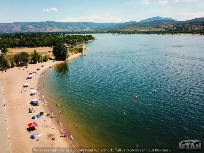
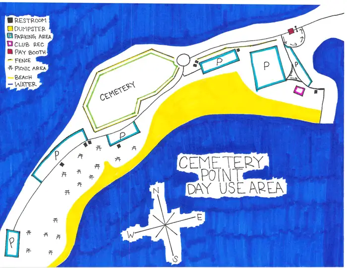
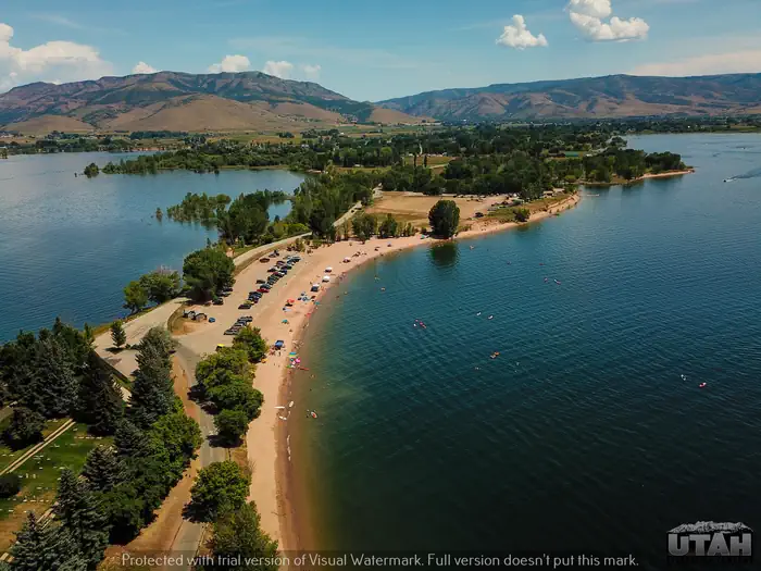
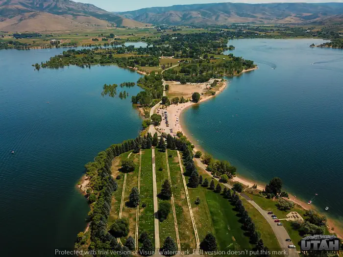
Overview Cemetery Point is located just 15 miles from Ogden, Utah. With beach and boat access to one of the most popular reservoirs in Utah, Cemetery Point is a great place to go and take in the beautiful scenery. Recreation Pineview offers great boating, swimming, fishing and water skiing opportunities. Boat ramps and a swimming beach are located within the facility. Facilities Picnic tables in a nice grassy and shady area with pedestal grills are available for picnicking. This site has vault restroom facilities. The site offers a boat ramp and access to beach and water play. Natural Features Pineview Reservoir lies on the backside of the Wasatch Front. Ogden Valley is comprised of patchwork farmland surrounded by beautiful peaks. Nearby Attractions Ogden River Scenic Byway, this beautiful byway, beginning at the mouth of Ogden Canyon winds through 44 miles of Utah's most beautiful mountains and countryside. Rock walls and tree-covered mountain sides line the roadway that follows the Ogden River to Pineview Dam. Small islands dot the man-made reservoir and surrounding fields are either shades of green or snow-white. The magnificent Wasatch Mountain Range stretches heavenward and the mountains cradle the reservoir and small communities through which the byway passes in their gentle valleys. Charges & Cancellations Rules & Reservation Policies
From the managing agency.
Is Cemetery Point Picnic Area free?
No. Cemetery Point Picnic Area charges a fee.
How do I get to Cemetery Point Picnic Area?
Cemetery Point Picnic Area is at 41.2643, -111.8002. We do not hold written directions for this one, so navigate to the coordinates.
Nearby
SourceSource data is agency published. Last synced September 19, 2026. Community reports and photos are submitted by travelers and are not verified by the agency.
