
BUCKEYE RECREATION AREA (CO)
Campground · Dispersed · Fee not listed
Fast facts
- Cost
- Not listed. Check locally.
- Type
- Campground
- Phone
- 1-435-587-2041
- Coordinates
- 38.4454, -109.0431
- Last verified
- September 19, 2026
About this place
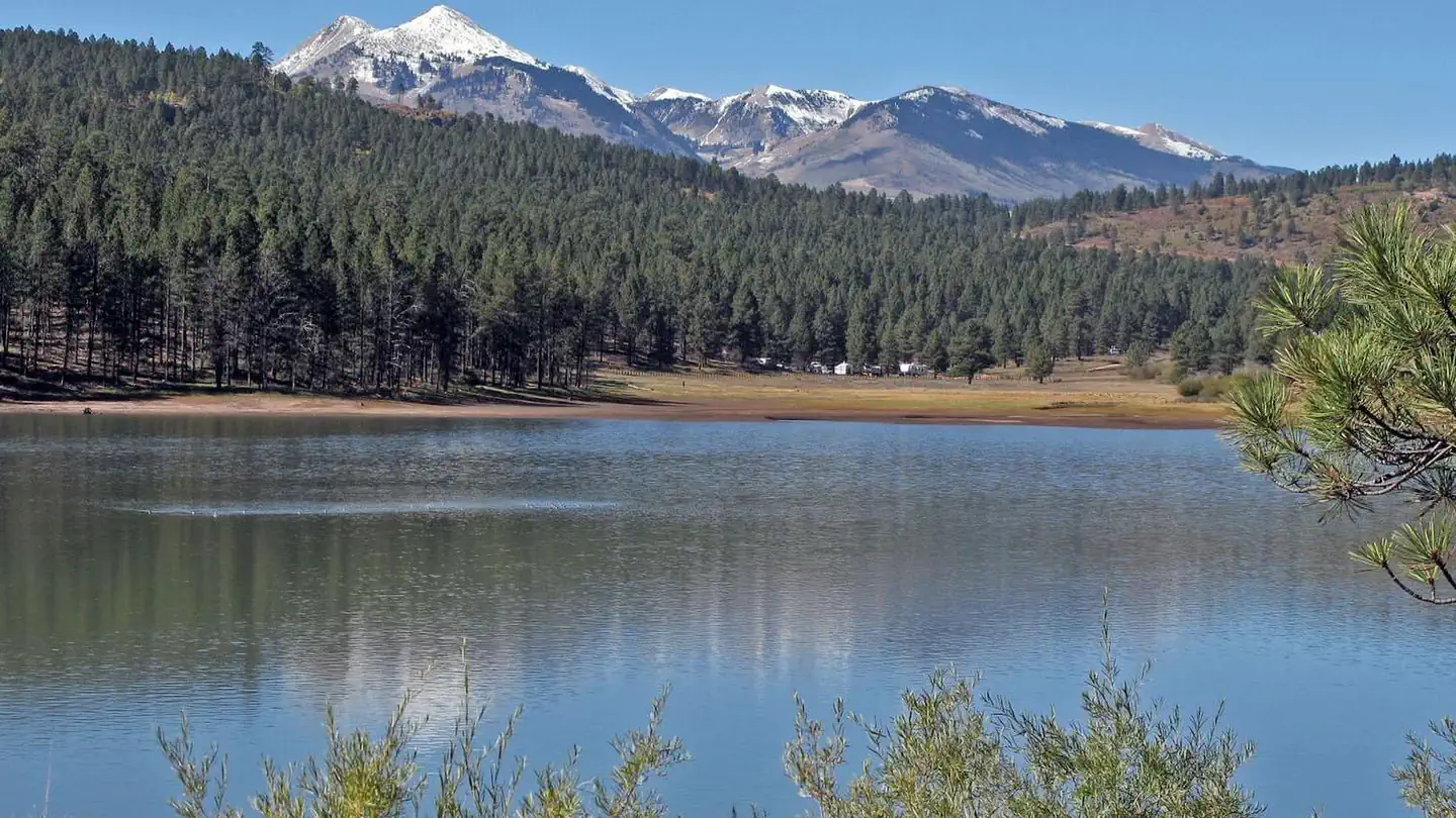
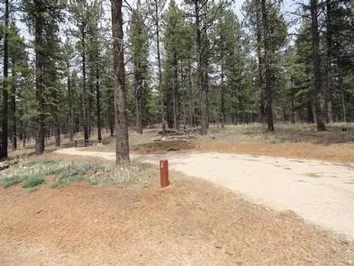
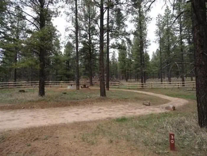
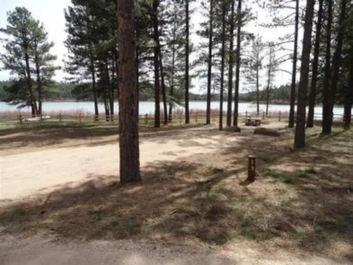
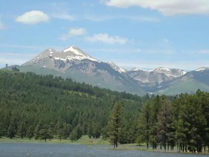
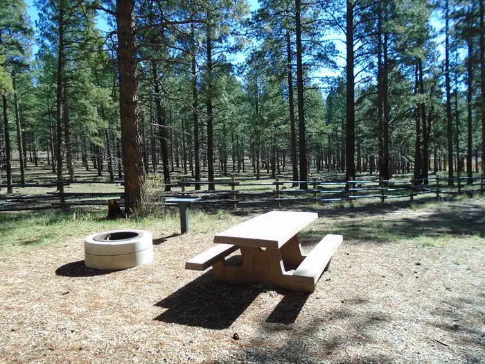
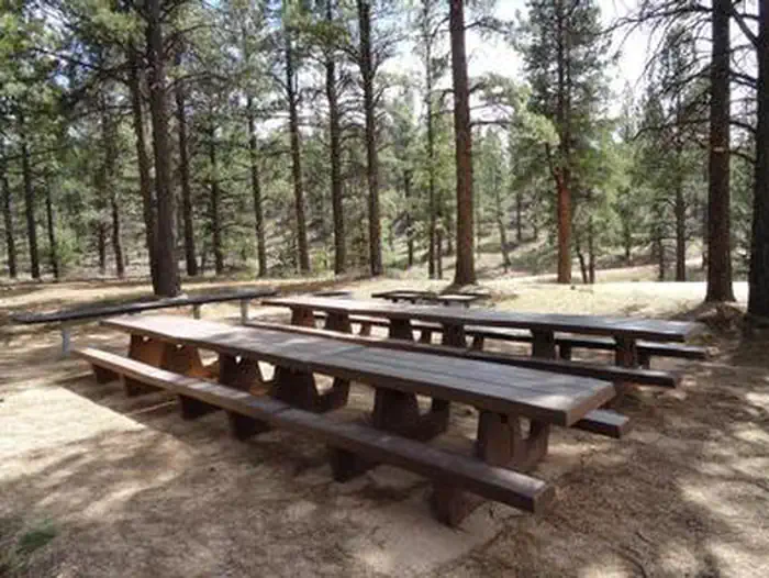
Overview The Buckeye Recreation Area is located adjacent to Buckeye Reservoir in Montrose County, Colorado. The area is popular for camping, OHV/ATV trails, hunting and fishing. Note: Some GPS or driving app directions are sending people on 4WD roads or to locked gates that are on private property. If you are unfamiliar with the area, please visit our "Facility Information - Getting Here" section for instructions on the best route to get to Buckeye Reservoir before reserving. DO NOT rely soley on Google Maps or Apple Maps for getting to this campground. Recreation Recreation in the area centers around the reservoir which provides excellent opportunities for fishing and canoeing. Forest roads in the area provide for off-highway vehicle touring and the nearby state lands provide motorized trails for Off-highway vehicles and motorcycles. The La Sal Mountains are nearby which provide many hiking and biking trails. Facilities The Buckeye Recreation Area is located adjacent to Buckeye Reservoir. The Recreation Area is spread out around the reservoir and consists of the Pioneer Campground (30 single family reservable campsites), a boat ramp for small fishing boats (5 HP motor limit and wakeless speed), a reservable group site, a day-use picnic area and 18 less developed dispersed campsites scattered around the reservoir. Campsites in the Pioneer Campground include graveled parking spurs, concrete picnic tables, fire rings, a utility table and access to vault toilets. There is a 14 day stay limit at this campground. Natural Features The recreation area is located in a valley at 7,600 feet in elevation and is set amongst mature stands of Ponderosa Pines. The high peaks of the La Sal Mountains are visible from much of the area. The scenic Paradox Valley and the town of Paradox, Colorado are located approximately 10 miles to the southeast. Nearby Attractions The scenic La Sal Mountains are very close to the area and provide numerous opportunities for recreation. Canyonlands and Arches National Parks are about 1.5 hour drive away from the area as well as numerous recreation opportunities around the towns of Monticello and Moab, Utah. Contact Info For facility specific information, please call (435) 259-7155.
From the managing agency.
Is BUCKEYE RECREATION AREA (CO) free?
We do not have a fee on record for BUCKEYE RECREATION AREA (CO) . Confirm the cost locally before you go.
How do I get to BUCKEYE RECREATION AREA (CO) ?
BUCKEYE RECREATION AREA (CO) is at 38.4454, -109.0431. We do not hold written directions for this one, so navigate to the coordinates.
Nearby
- Buckeye Recreation Area0.4 mi
- Dewey Bridge Campground7.9 mi
- Dolores River Camp 48.7 mi
- Upper Onion Creek Campground8.9 mi
- Dolores River Camp 78.9 mi
- Dolores River Camp 59.0 mi
- Dolores River Camp 69.2 mi
- Dolores River Camp 89.3 mi
No other services within 50 mi on the record.
SourceSource data is agency published. Last synced September 19, 2026. Community reports and photos are submitted by travelers and are not verified by the agency.
