
BOWERY CREEK
Campground · Fee not listed
Fast facts
- Cost
- Not listed. Check locally.
- Type
- Campground
- Coordinates
- 38.5658, -111.6850
- Last verified
- September 19, 2026
About this place
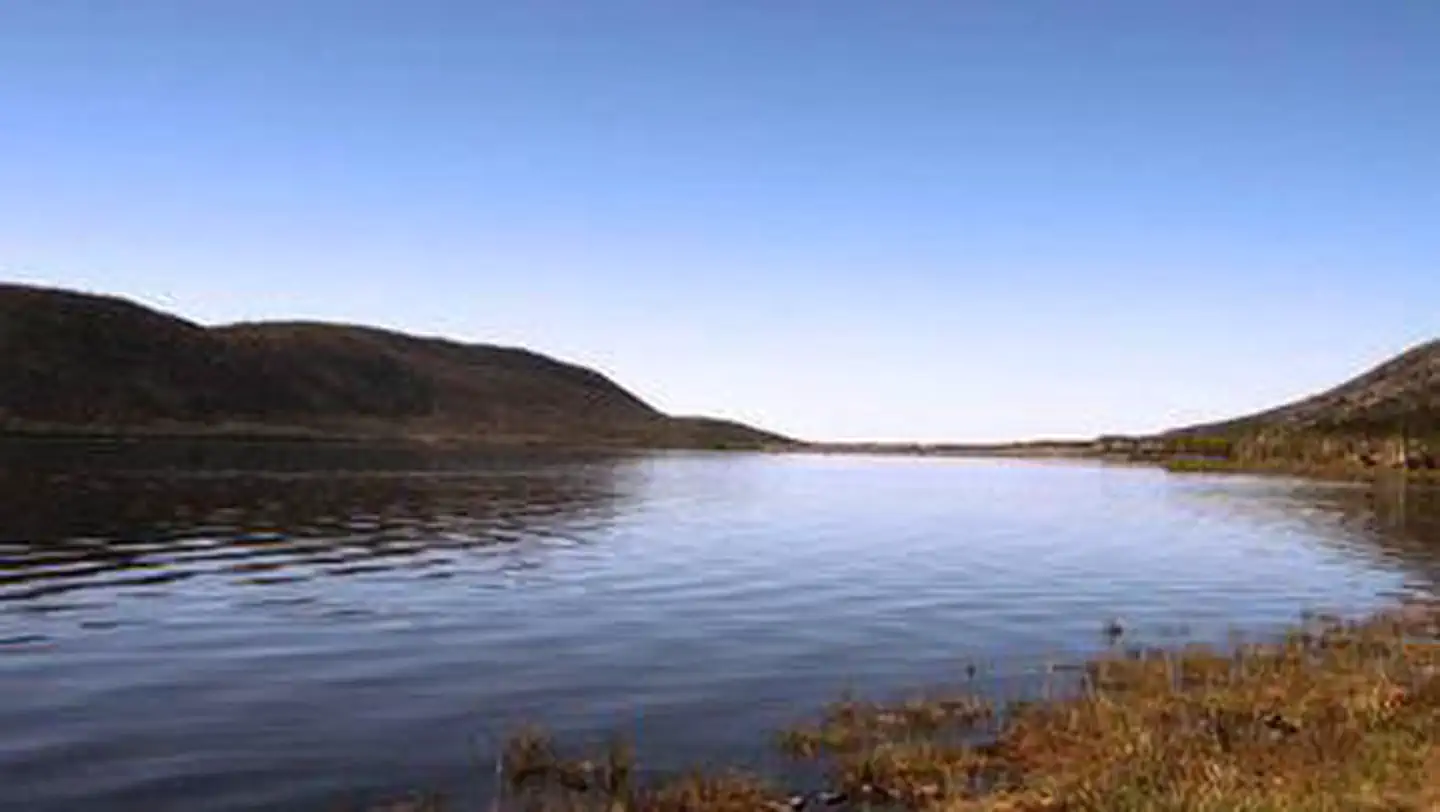
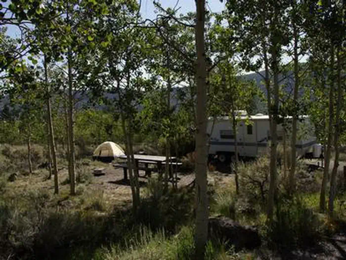
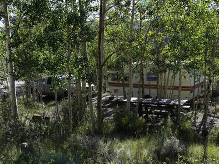
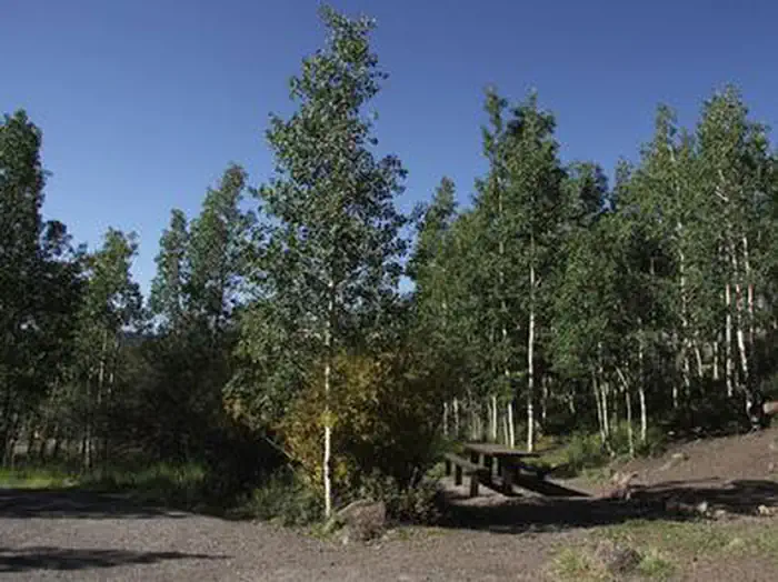
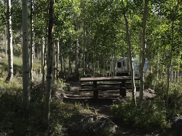
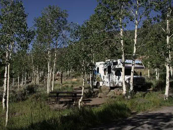
Overview Bowery Creek Campground is located next to Fish Lake in the Fishlake National Forest of central Utah. Visitors enjoy boating, fishing and exploring local trails. View Bowery Creek Campground Map Recreation Fish Lake is Utah's largest natural mountain lake, covering 2,500 acres. It is famous for its 20-40 pound Mackinaw lake trout. Anglers also enjoy fishing for rainbow trout and splake. Boating, canoeing, swimming and scuba diving are popular activities. The 5-mile Pelican Canyon Trail begins in the campground. It leads through meadows and dense forests of spruce, pine and aspen as it climbs to the 11,633-foot Fish Lake Hightop. The popular Lakeshore National Recreation Trail extends around the eastern side of the lake. Hikers are rewarded with stunning lake views after climbing 900 feet in elevation. Facilities The campground contains six group sites: three can accommodate up to 30 people each, the other three up to 20 people each. A group day-use picnic site for up to 100 people is located on-site. Several single-family sites are available as well. Most sites have lake views. Flush toilets and drinking water are provided. Roads and parking spurs are paved. The lake is just a short walk below the site and across the road. Three resorts are located in the Fish Lake Basin, offering camping and fishing supplies, RV parks with hookups, cabin and boat rentals, marinas, gas, restaurants, groceries, laundry facilities and showers. The resorts are open from Memorial Day to Labor Day. Natural Features The campground sits at an elevation of 9,000 feet on a sagebrush-covered hillside above the valley floor, offering sweeping views of Fish Lake. Aspen and cottonwood trees forest the site. Nearby Attractions Johnson Valley Reservoir is just north of Fish Lake, offering additional fishing and boating opportunities.
From the managing agency.
Is BOWERY CREEK free?
We do not have a fee on record for BOWERY CREEK. Confirm the cost locally before you go.
How do I get to BOWERY CREEK?
BOWERY CREEK is at 38.5658, -111.6850. We do not hold written directions for this one, so navigate to the coordinates.
Nearby
- Bowery Creek - Recreation Site1.4 mi
- MACKINAW1.8 mi
- Mackinaw - Recreation Site1.9 mi
- TWIN CREEKS PICNIC2.3 mi
- Frying Pan - Recreation Site2.9 mi
- FRYING PAN3.0 mi
- Tasha Equestrian - Recreation Site3.7 mi
- Mallard Bay Overflow Recreation Site3.8 mi
No other services within 50 mi on the record.
SourceSource data is agency published. Last synced September 19, 2026. Community reports and photos are submitted by travelers and are not verified by the agency.
