
BLACKSMITH FORK GUARD STATION
USFS · Campground · Fee
Fast facts
- Cost
- Fee charged
- Managed by
- USFS
- Type
- Campground
- Phone
- 435-755-3620
- Nearest dump station
- Lily Lake Comfort Station · 68.7 mi
- Coordinates
- 41.6592, -111.6744
- Last verified
- September 19, 2026

About this place
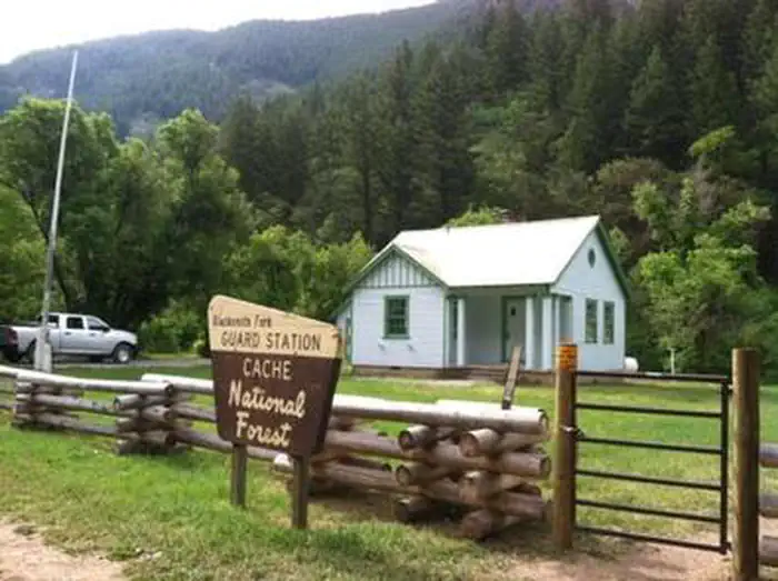
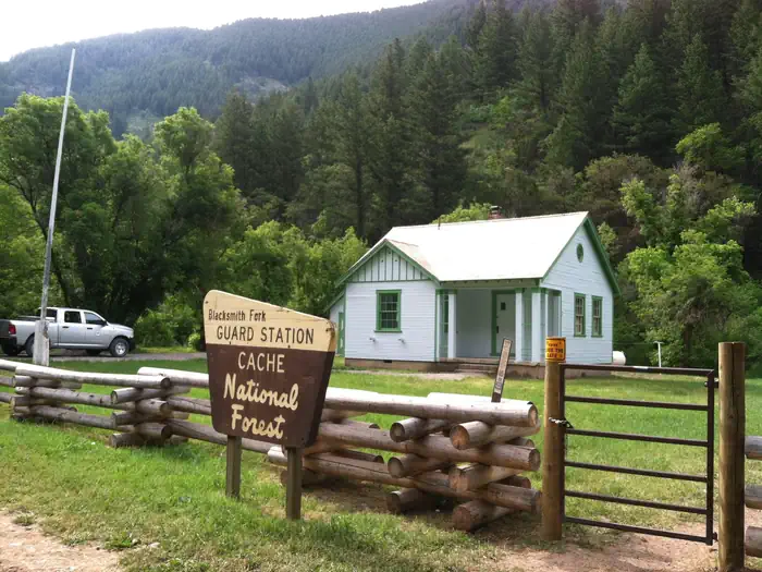
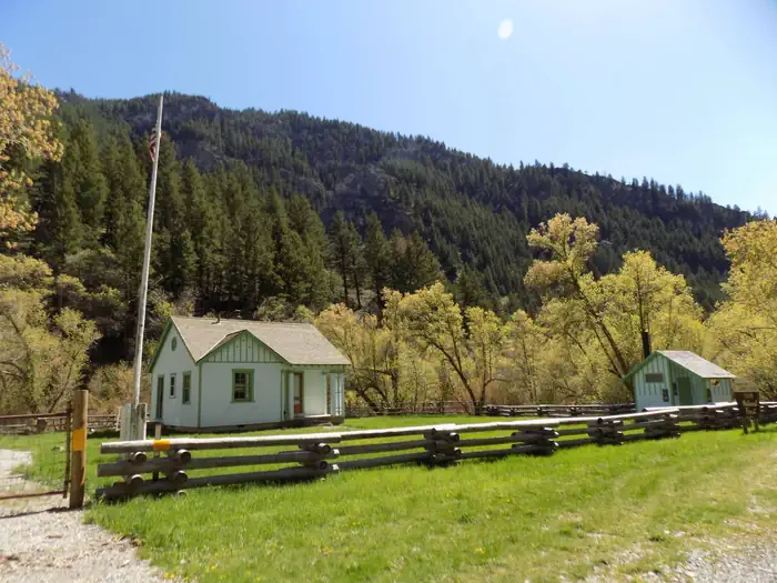
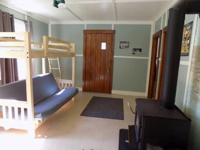
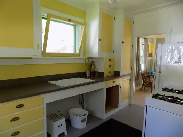
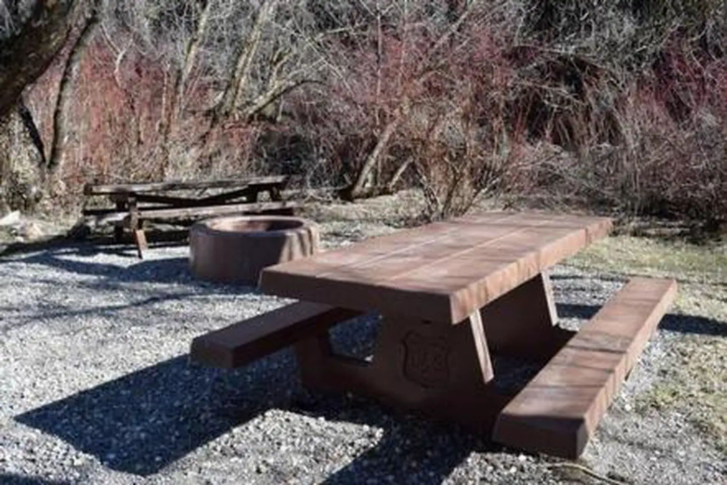
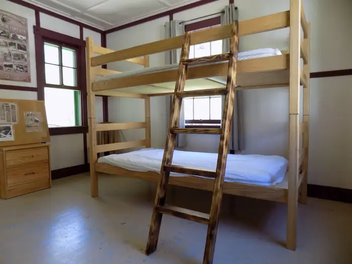
Overview Blacksmith Fork Guard Station is located in the Cache National Forest, approximately 11 miles east of Hyrum, in northern Utah. The Guard Station was constructed by the Civilian Conservation Corps in 1934 as part of the New Deal Program. Early Forest Service stations were typically spaced a "days ride by horseback" from each other. The Uinta-Wasatch-Cache National Forests has decided to rent the cabin to the public so visitors can enjoy a rustic experience similar to that of early Forest Rangers and their families. Recreation A variety of hiking, biking, horseback riding and off-road vehicle trails crisscross the surrounding area. The cabin is less than one mile from the Richards Hollow Trailhead and Friendship Campground. Facilities The Guard Station complex can sleep 5 people inside the cabin and no more than 4 tents outside. There is also room for a small travel trailer in the driveway. No vehicles are permitted on the grass. Natural Features The small green and white cabin sits on the bank of the Left Hand Fork of the Blacksmith Fork River at an elevation of 5,400 feet. It is surrounded by box elder and oak trees with the steep canyon wall behind the cabin covered in Douglas fir trees. Nearby Attractions Hardware Ranch Wildlife Management Area is approximately 5-miles southeast along the main fork of the Blacksmith Fork River and State Route 101.
From the USFS.
Is BLACKSMITH FORK GUARD STATION free?
No. BLACKSMITH FORK GUARD STATION charges a fee. It is managed by the USFS.
How do I get to BLACKSMITH FORK GUARD STATION?
BLACKSMITH FORK GUARD STATION is at 41.6592, -111.6744. We do not hold written directions for this one, so navigate to the coordinates.
Nearby
SourceData from the USFS. Last synced September 19, 2026. Community reports and photos are submitted by travelers and are not verified by the agency.
