
Birches Picnic Area
USFS · Campground · Fee
Fast facts
- Cost
- Fee charged
- Managed by
- USFS
- Type
- Campground
- Reservations
- recreation.gov
- Phone
- 385-273-1100
- Nearest dump station
- Soapstone Comfort Station · 37.4 mi
- Coordinates
- 40.6230, -111.7569
- Last verified
- September 19, 2026
About this place
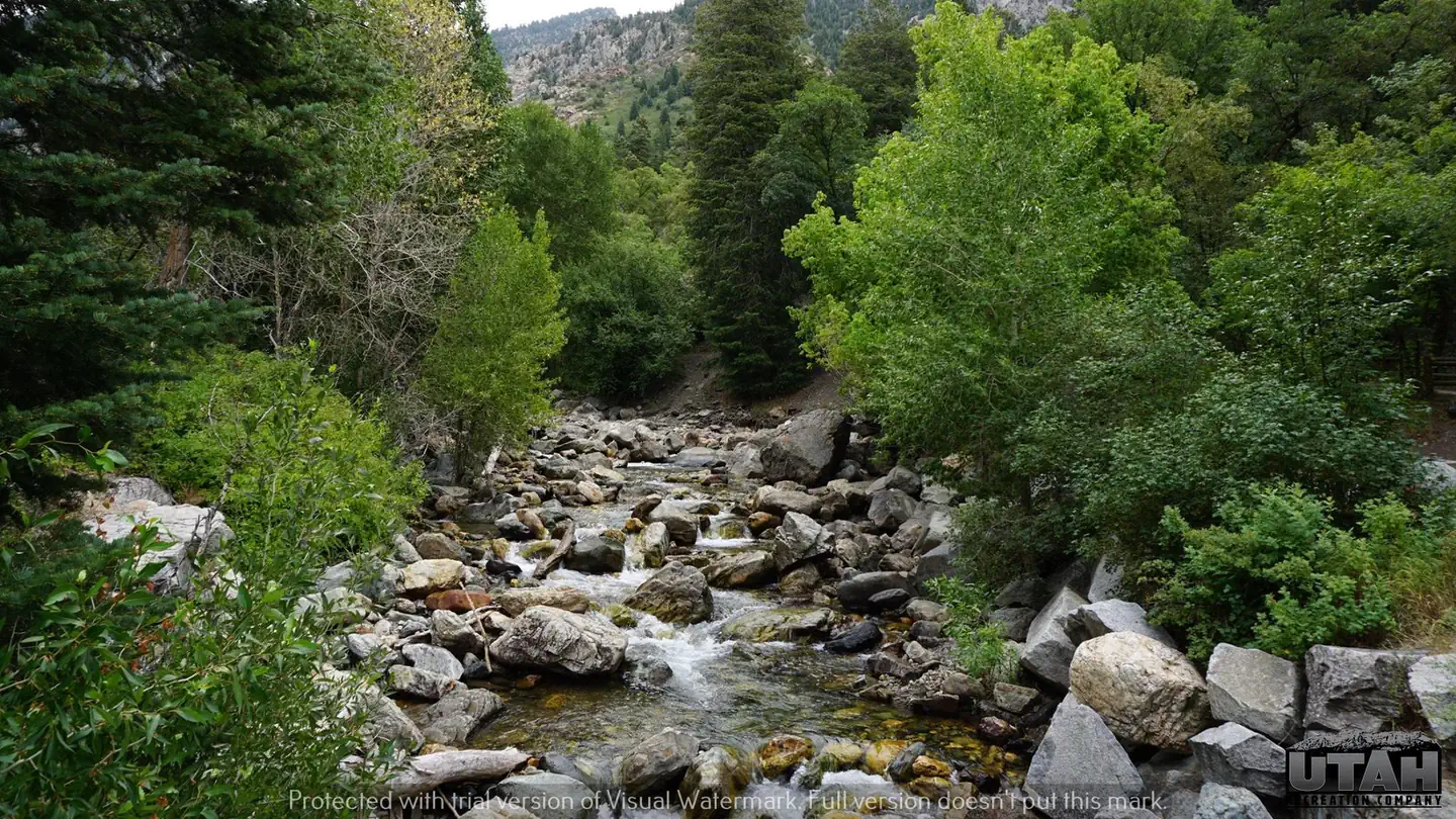
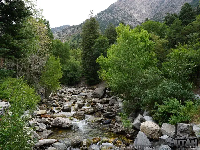
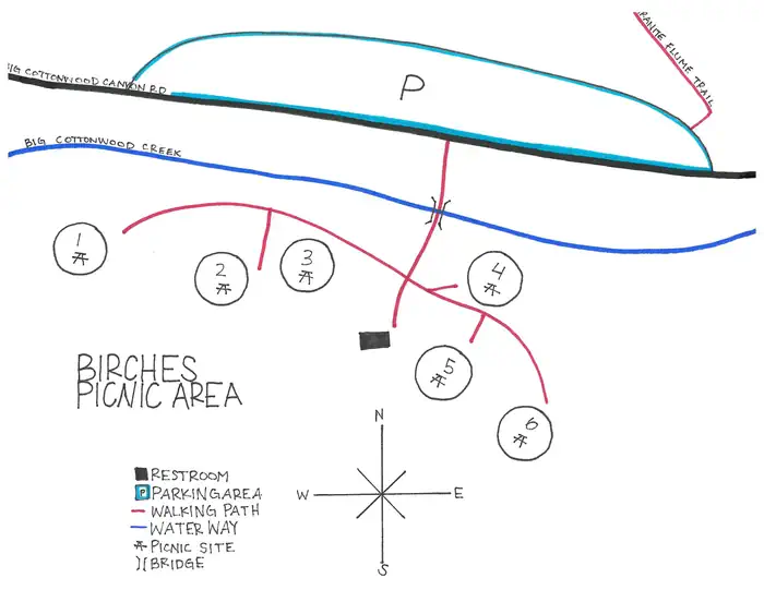
Overview Birches Picnic Area is 15 miles from Salt Lake City up Big Cottonwood Canyon. Big Cottonwood Creek runs alongside the site. Vistors enjoy fishing, hiking, and biking. Recreation Big Cottonwood Creek is stocked for trout fishing and is a favorite among local fly-fisherman. Additionally, many hiking and mountain biking trailheads are located in the canyon. Facilities Birches has 6 picnic sites, all with picnic tables, campfire rings, and grills. Pathways within the area are paved. Natural Features Big Cottonwood Creek runs alongside the site. Summer wildflowers paint the canyon with vivid color beginning in late July. Autumn leaves put on quite a show in late September. Nearby Attractions Big Cottonwood Canyon is a beautiful area known for its soaring peaks, pristine hidden lakes and cascading streams. Numerous hiking and mountain biking trails are in the area. Rock climbing is a popular activity as well. Solitude Mountain Resort is 11.5 miles up-canyon, offering scenic chairlift rides, hiking, a few dining options and a challenging 18-hole disc golf course.
From the USFS.Official page
Is Birches Picnic Area free?
No. Birches Picnic Area charges a fee. It is managed by the USFS. Sites are reservable through recreation.gov.
How do I get to Birches Picnic Area?
From I-215, take the 6200 South exit and travel a mile east to Wasatch Blvd. Take Wasatch Blvd a mile south to junction with Big Cottonwood Canyon/Highway 190. Make a left at the junction and travel up Big Cottonwood Canyon 1.9 miles to the picnic area on the right.
What are the rules at Birches Picnic Area?
Big Cottonwood Canyon is a watershed: No pets allowed.
Nearby
SourceData from the USFS. Last synced September 19, 2026. Community reports and photos are submitted by travelers and are not verified by the agency.
