
ALBION BASIN
Campground · Fee
Fast facts
- Cost
- Fee charged
- Type
- Campground
- Phone
- 801-999-2103
- Nearest dump station
- Soapstone Comfort Station · 29.6 mi
- Coordinates
- 40.5764, -111.6111
- Last verified
- September 19, 2026
About this place
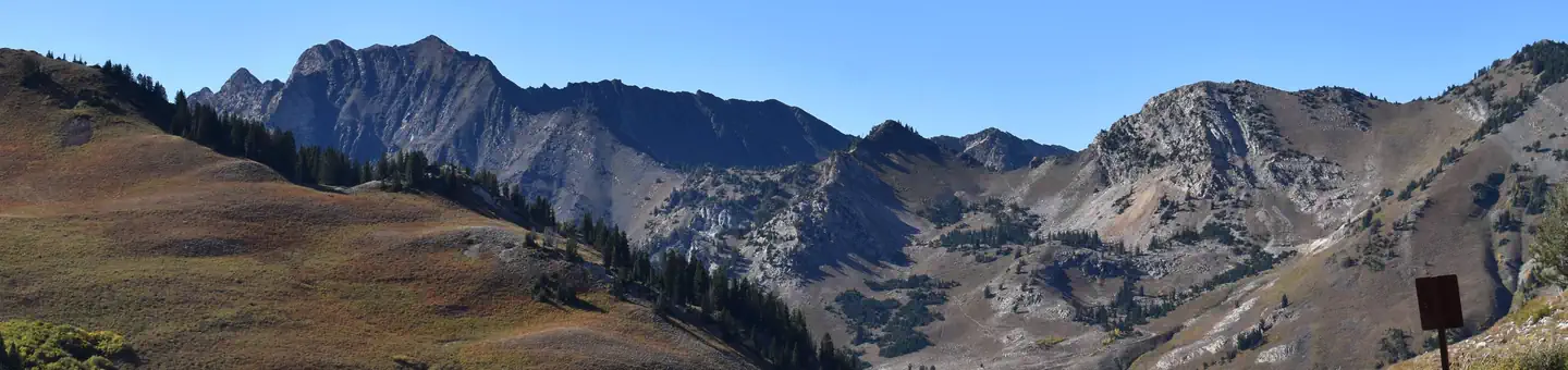
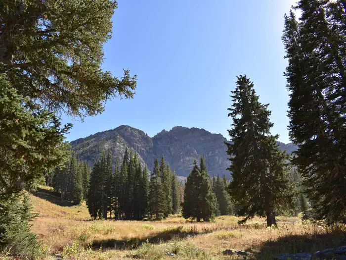
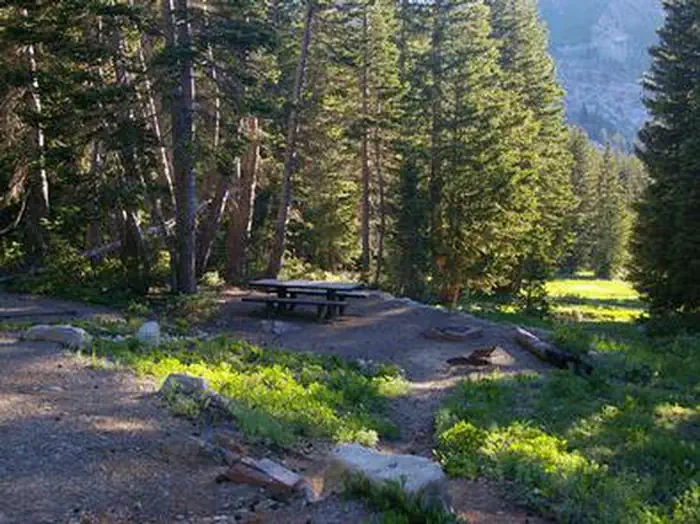
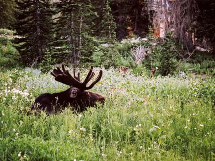
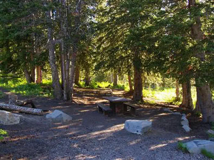
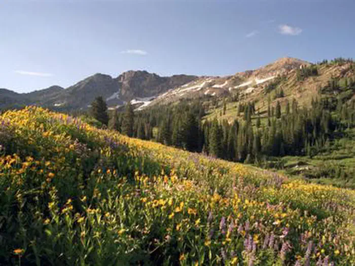
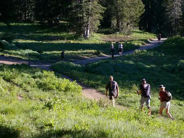
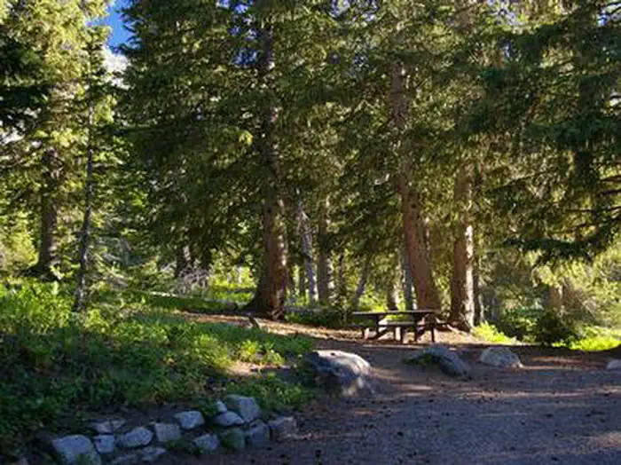
Overview Albion Basin Campground, just 15 miles from Sandy, Utah, is set among shady white pines and aspens in its beautiful namesake basin in Little Cottonwood Canyon at an elevation of 9,500 feet. Recreation Hiking and mountain biking are very popular activities. Hikers enjoy the path to Cecret Lake, which begins at the campground, as well as the Catherine Pass/Sunset Peak Trail just down the road. Mountain bikers often ride the Albion Basin Road and the trail to Germania Pass. Other trails include the Albion Meadows Trail and Cardiff Pass/Twin Lake Pass. Facilities The campground contains 22 "reservation" sites (20 single sites, one double and one triple site). All come with picnic tables and campfire rings. Vault toilets are provided. Roads and parking spurs are dirt. One single site is available on a First Come, First Served basis, site #2. Natural Features Albion Basin is renowned for its vivid summer wildflowers. The basin hosts the Wasatch Wildflower Festival annually in late July or early August, complete with guided nature walks. Moose and deer frequent the basin and mountain goats can often be seen on the precipitous face of Devils Castle, just south of the campground. A small stream runs through the basin. Nearby Attractions Little Cottonwood Canyon is a beautiful area known for its soaring peaks, unique geology, pristine hidden lakes and cascading streams. Numerous additional hiking and mountain biking trails are found throughout the canyon. Rock climbing and fly-fishing are popular activities as well. Snowbird Resort is just a few miles down-canyon, offering scenic tram rides, hiking, mountain biking, restaurants, groceries, an Alpine Slide, zip line rides, concerts and various festivals.
From the managing agency.
Is ALBION BASIN free?
No. ALBION BASIN charges a fee.
How do I get to ALBION BASIN?
ALBION BASIN is at 40.5764, -111.6111. We do not hold written directions for this one, so navigate to the coordinates.
Nearby
SourceSource data is agency published. Last synced September 19, 2026. Community reports and photos are submitted by travelers and are not verified by the agency.
