
TWIN BRIDGES GROUP SHELTER
Campground · Fee not listed
Fast facts
- Cost
- Not listed. Check locally.
- Type
- Campground
- Phone
- 254-756-5359
- Coordinates
- 31.5353, -97.2468
- Last verified
- September 19, 2026
About this place
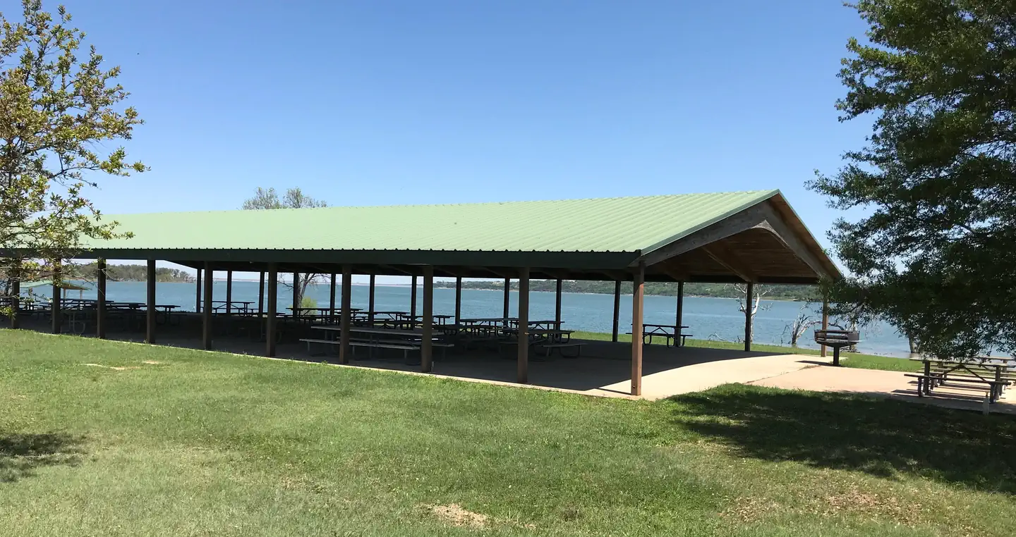
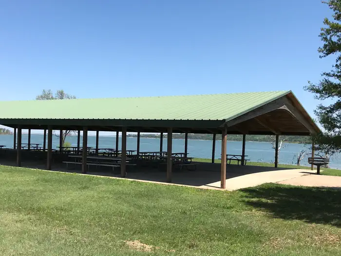
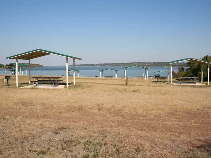
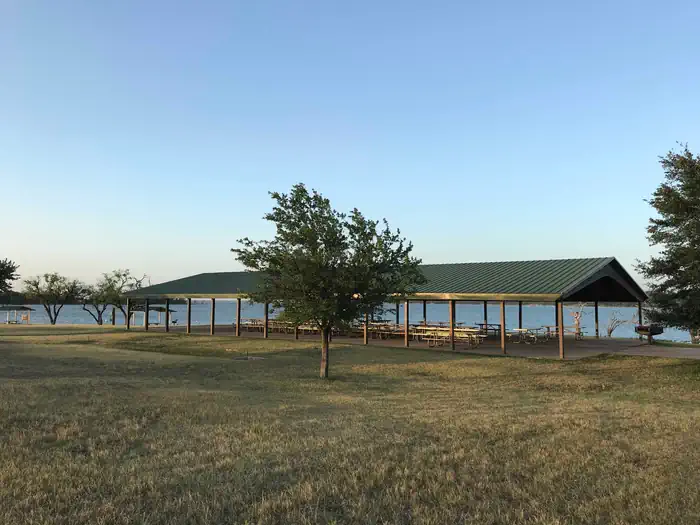
Overview Twin Bridges, located on one of Waco Lake's sandy beaches, is ideal for families and friends to enjoy picnicking, sightseeing and water activities, all while staying within the Waco city limits. Recreation The main lake shoreline has a large amount of submerged timber, which typically holds fish year-round. Anglers will find plenty of catfish, crappie, large and smallmouth bass as well as sunfish. Swimming beaches, boat ramp and dock all help visitors enjoy the lake. Facilities Twin Bridges has two swimming beaches, horseshoe pits, a covered playground and a sand volleyball court. The group shelters can accommodate up to 225 guests. Natural Features The shelter is located on the west shore of the Waco Lake. The lake is primarily fed by the Bosque River, which runs for 115 miles through central Texas. Nearby Attractions Horseback riding, hiking and biking can be done on the 20-mile Lacy Point Hiking and Biking Trail. The trail is accessible from the Lacy Point boat ramp or Reynolds Creek Park.
From the managing agency.
Is TWIN BRIDGES GROUP SHELTER free?
We do not have a fee on record for TWIN BRIDGES GROUP SHELTER. Confirm the cost locally before you go.
How do I get to TWIN BRIDGES GROUP SHELTER?
TWIN BRIDGES GROUP SHELTER is at 31.5353, -97.2468. We do not hold written directions for this one, so navigate to the coordinates.
Nearby
- SPEEGLEVILLE PARK1.3 mi
- MIDWAY1.4 mi
- REYNOLDS CREEK3.4 mi
- AIRPORT BEACH SHELTER5.0 mi
- AIRPORT PARK5.2 mi
- WINKLER PARK23.7 mi
- LOFERS BEND DAY USE (TX)24.5 mi
- WHITE FLINT PARK24.8 mi
No other services within 50 mi on the record.
SourceSource data is agency published. Last synced September 19, 2026. Community reports and photos are submitted by travelers and are not verified by the agency.
