
Tadra Point
USFS · Campground · Fee
Fast facts
- Cost
- Fee charged
- Managed by
- USFS
- Type
- Campground
- Hours
- Quiet hours are 10:00 p.m. until 6:00 a.m.
- Reservations
- recreation.gov
- Phone
- N/A
- Coordinates
- 33.3715, -97.5866
- Last verified
- September 19, 2026
About this place
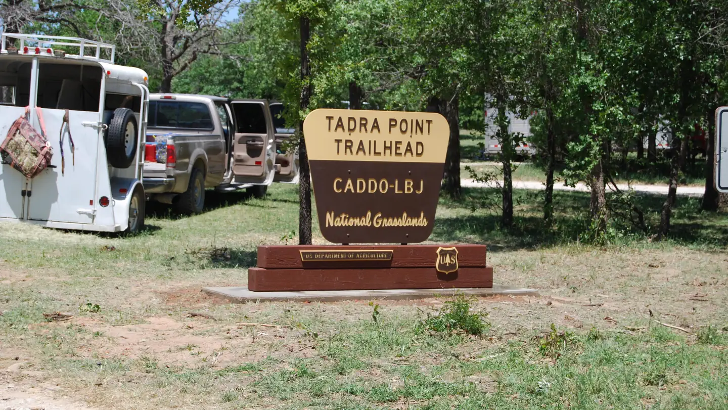
Overview This location is available on a first-come, first-served basis only. Visitors are required to physically arrive at the campground to purchase and claim a site. Once on-site, you may be able to pay for your campsite(s) by scanning a QR code using the Recreation.gov mobile app, and the Scan and Pay feature. If this option is available, you will need to first download the free Recreation.gov mobile app https://www.recreation.gov/mobile-app prior to your arrival as some remote areas have limited or no cellular service. TADRA Point Trailhead has 20 parking spurs and 6 pull thoughs with numerous hitching posts available. There is water for horses and a pavilion with grill. Facilities Located south of Cottonwood Lake along FS Road 900, TADRA Point Trailhead is at the confluence of the five loops that comprise the 75-mile LBJ Multi-Use Trail System. The trailhead was constructed through the volunteer efforts of local equestrian groups and is used throughout the year as headquarters for various non-commercial group events, including equestrian endurance rides. Nearby Attractions Cottonwood Lake and Little Cottonwood Lake
From the USFS.Official page
Is Tadra Point free?
No. Tadra Point charges a fee. It is managed by the USFS. Sites are reservable through recreation.gov.
How do I get to Tadra Point?
Directions from Decatur: Travel FM 730 north 10 miles; turn left on CR 2461 and bear to the right on to CR 2560 for 3 miles and turn left on FS Road 900. TADRA Point Trailhead is on the right at 2 miles.
Nearby
- Black Creek Lake Campground2.1 mi
- Black Creek Lake2.1 mi
- Valley View Group Use2.7 mi
- Valley View Campground2.7 mi
- Hickory Creek (TX)36.5 mi
- WESTLAKE DAY USE38.6 mi
- MURRELL PARK38.7 mi
- NORTH HOLIDAY PARK50.0 mi
No other services within 50 mi on the record.
SourceData from the USFS. Last synced September 19, 2026. Community reports and photos are submitted by travelers and are not verified by the agency.
