
McBride Canyon and Mullinaw Creek Campgrounds
Campground · Fee
Fast facts
- Cost
- $0.00
- Type
- Campground
- Sites
- 40 total · 0 reservable · 40 first come
- Phone
- (806) 857-3151
- Coordinates
- 35.5294, -101.7594
- Last verified
- September 19, 2026
About this place
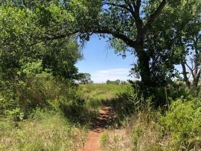
These areas are located south of the lake off of State Highway 136. There are large cottonwood trees that provide shade. The Mullinaw Creek area features the expanded Mullinaw Trails System . This trail system is open to hiking, biking, and horseback riding. NO OFF ROAD VEHICLES ALLOWED. No drinking water or flush toilets; vault-evaporator toilets only. Picnic tables, shade shelters, and grills. Horse corrals are located at Mullinaw Campground. The dirt roads can become impassable after rain.
From the managing agency.
Is this site free?
No. this site charges $0.00.
Can I bring an RV to this site?
this site has 40 sites on record. 0 sites are reservable and 40 are first come.
How do I get to this site?
There are several different ways to get to Lake Meredith. If you are coming from Amarillo, exit Loop 335 North, then exit Hwy 136 North to Fritch. Headquarters is located at 419 E. Broadway in Fritch. If coming from the North you can take 1913 from the Dumas Highway or 1913 from US 287.
What is the weather like at this site?
The Texas Panhandle experiences a wide variety of weather conditions throughout the year. Winters are cold and windy, and summers are hot and dry. It is usually a good idea to bring a jacket with you because the region gets very windy, even in the summer.
Nearby
- Harbor Bay Campground11.0 mi
- Blue West Campground12.9 mi
- Chimney Hollow Campground13.0 mi
- Sanford Yake Campground25.3 mi
- Sanford Yake25.3 mi
- Cedar Canyon Campground34.3 mi
No other services within 50 mi on the record.
SourceSource data is agency published. Last synced September 19, 2026. Community reports and photos are submitted by travelers and are not verified by the agency.
