
CAGLE RECREATION AREA
Campground · Fee
Fast facts
- Cost
- Fee charged
- Type
- Campground
- Phone
- 936-344-6205
- Coordinates
- 30.5300, -95.5361
- Last verified
- September 19, 2026

About this place
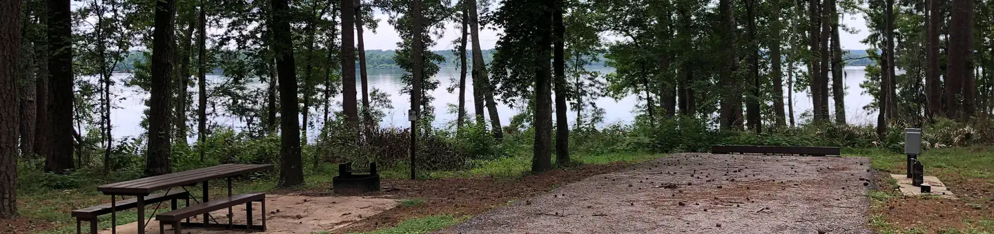
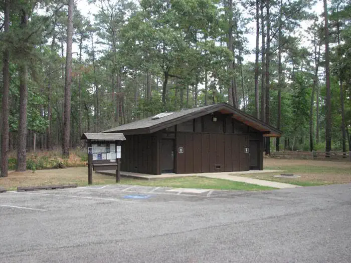
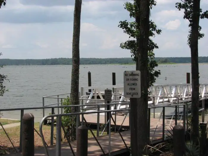
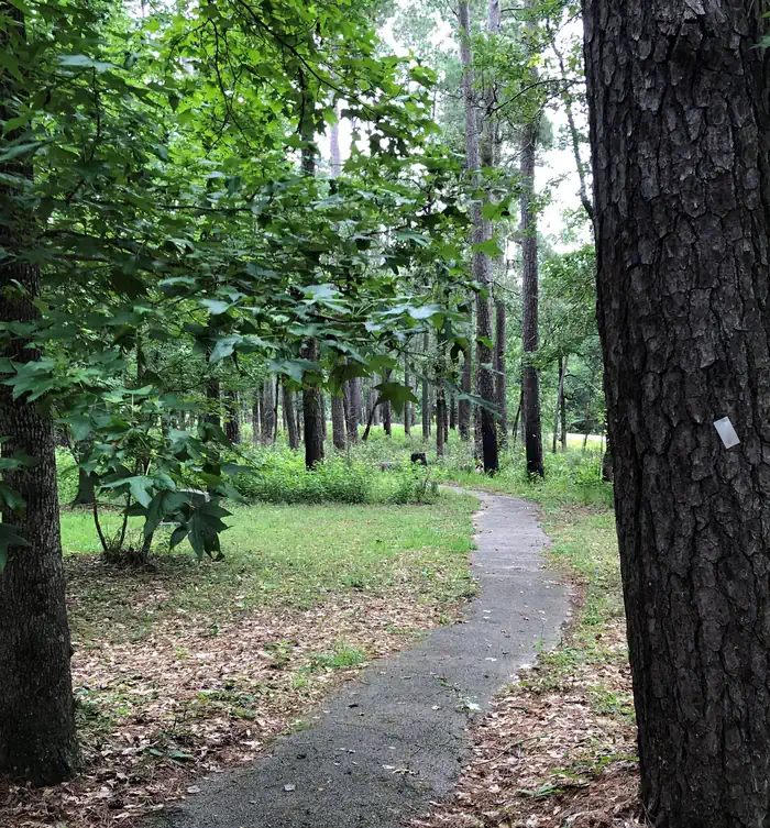
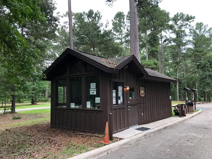
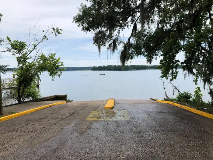
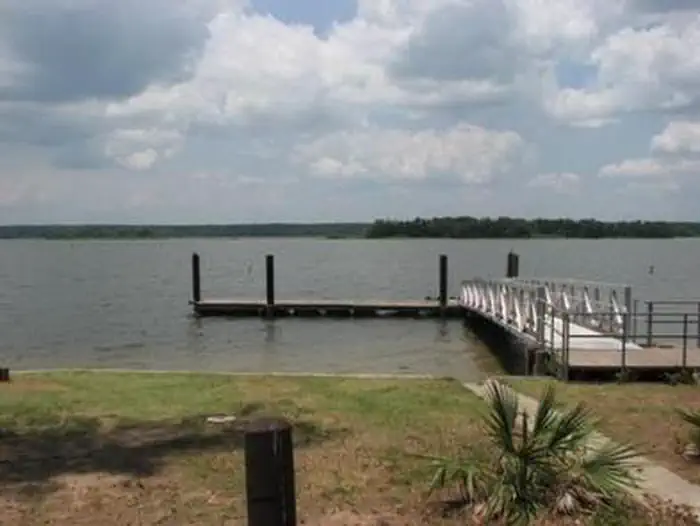
Overview Cagle Recreation Area is a popular campground and day-use area that sits along the shoreline of Lake Conroe on the west fork of the San Jacinto River, just 1 hour north of Houston, Texas. The area offers great camping, fishing, hiking, hunting, birding and water sports year-round. Recreation Anglers are drawn to the 22,000-acre Lake Conroe for its forested lake shore and open water. The lake is particularly noted for black bass and year-round fishing. Swimming is not allowed, but fishing, hiking, picnicking and shoreline wading are sure to provide plenty of fun for kids. Hikers and mountain bikers can try the 2-mile Cagle Trail within the facility. Learn more about recreation in the national forest. Facilities The campground offers sites with full-service hookups organized into two loops. Each loop has sites overlooking Lake Conroe and restrooms with flush toilets, sinks and hot showers. The facility also has a boat ramp with large parking area, hiking and bicycle trails and a picnic area overlooking the lake. Natural Features Cagle is nestled among the pines of the Sam Houston National Forest. This area is covered with beautiful large pine and hardwood trees plus thousands of colorful wildflowers. Mid-February redbud tree blossoms followed by dogwood blossoms in early March put on a spectacular display of flowers. Lake Conroe and the surrounding forest provide wintering habitat for the endangered bald eagle. Temperatures are moderate to cool from September through May, and hot and humid from June to August. Winters are cool and wet. Nearby Attractions Visitors can explore the national forest's 85 miles of off-road vehicle, equestrian and mountain bike trails. The 128 mile Lone Star Hiking trail is nearby with a portion of the trail located near Lake Conroe.
From the managing agency.
Is CAGLE RECREATION AREA free?
No. CAGLE RECREATION AREA charges a fee.
How do I get to CAGLE RECREATION AREA?
CAGLE RECREATION AREA is at 30.5300, -95.5361. We do not hold written directions for this one, so navigate to the coordinates.
Nearby
- Cagle3.3 mi
- Stubblefield Lake Campground6.4 mi
- Kelly's Pond Campground7.6 mi
- DOUBLE LAKE RECREATION AREA24.1 mi
- DOUBLE LAKE RECREATION AREA24.3 mi
No other services within 50 mi on the record.
SourceSource data is agency published. Last synced September 19, 2026. Community reports and photos are submitted by travelers and are not verified by the agency.
