
BURNS RUN WEST
Campground · Fee not listed
Fast facts
- Cost
- Not listed. Check locally.
- Type
- Campground
- Phone
- 580-965-4922
- Coordinates
- 33.8633, -96.5802
- Last verified
- September 19, 2026
About this place
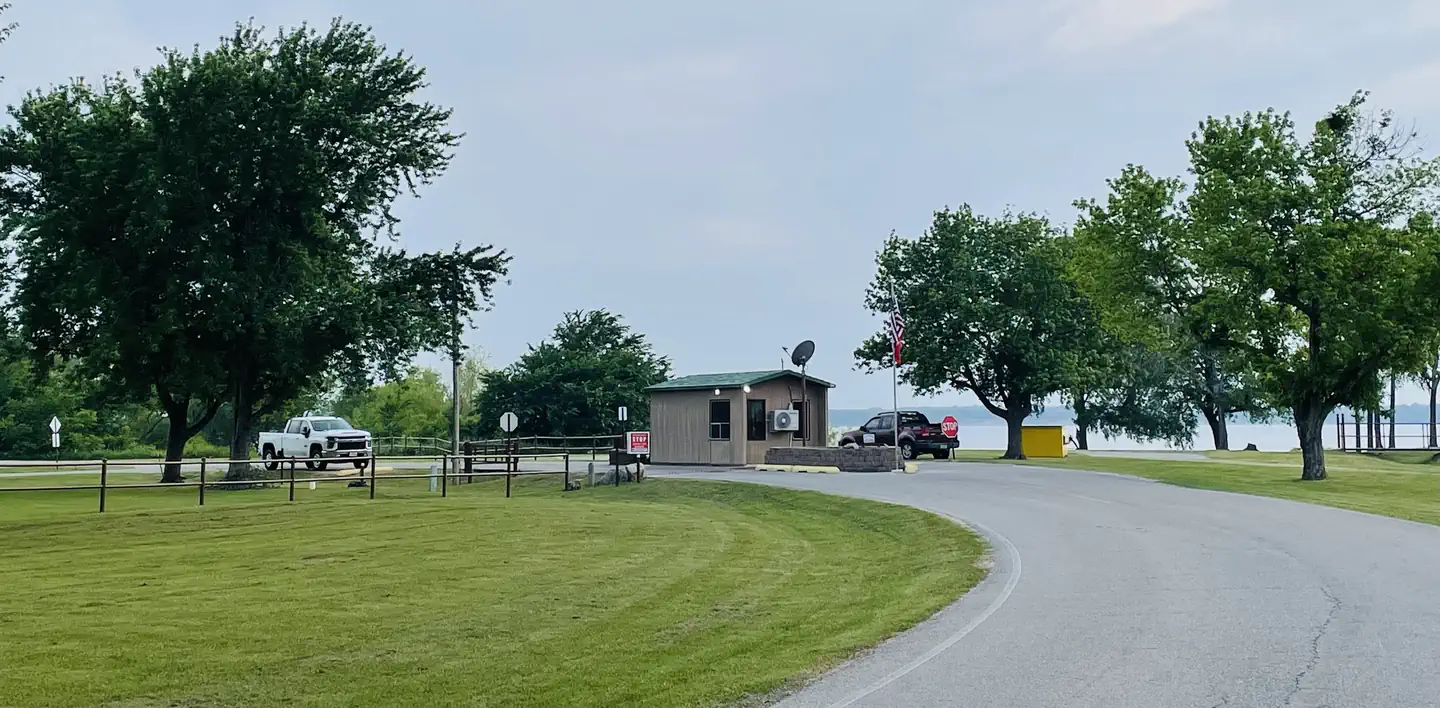
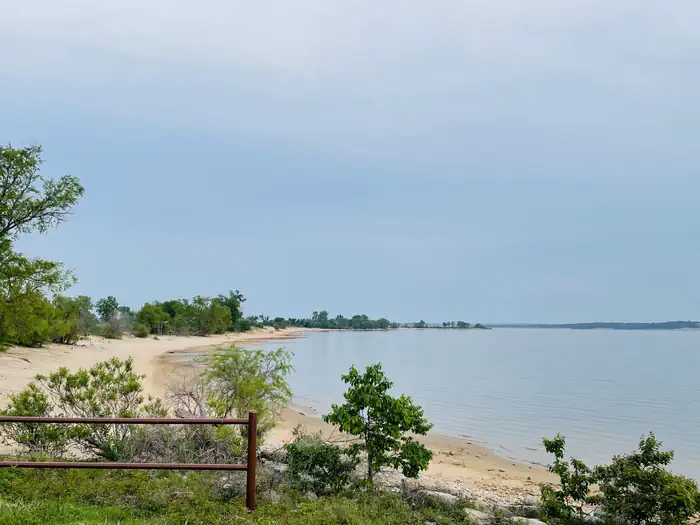
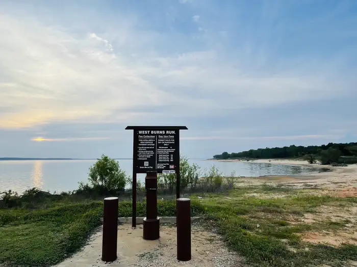
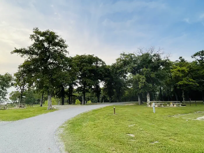
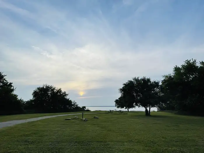
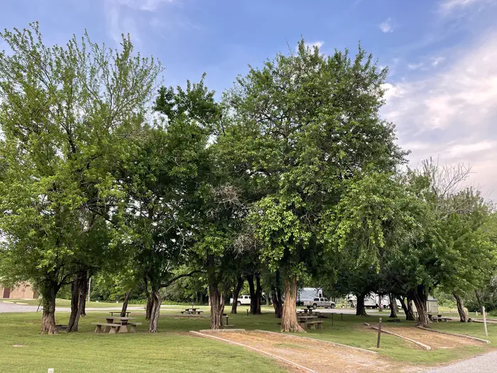
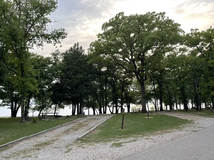
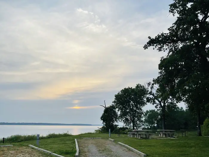
Overview Burns Run West Campground is located on Lake Texoma in Oklahoma's Cross Timbers Region. The lake is thought to be the "Playground of the Southwest," where outdoor activities like fishing, boating, hiking, and hunting abound. Recreation Lake Texoma is a large reservoir with an excellent fishery and many access points. Boating, swimming, water skiing, hunting, birding and relaxing on the sandy beaches are the typical pursuits of most visitors. The lake is known as the "Striper Capital of the World," one of the few reservoirs in the nation where striped bass reproduce naturally. Other popular species include largemouth and smallmouth bass, white bass, hybrid striped bass, white crappie, black crappie, channel catfish, and blue catfish. Also available is the scenic Cross Timbers hiking trail, a very popular trail that winds for 14 miles above the lake on rocky ledges and through blackjack woodland. Forty miles of equestrian trails surround the lake as well. Facilities Burns Run West offers 117 family campsites, 105 of which have electrical and water hookups. Five group campsites and two large, day-use group picnic shelters with electricity are available as well. Other amenities include flush and vault toilets, showers and drinking water. Three dump stations, a boat ramp, playground and beach are located on-site. Natural Features The campground is situated on the southeastern shores of Lake Texoma, with beautiful views overlooking the main portion of lake. Post and blackjack oaks forest the rolling hills of the region. Deer, turkeys, bobcats, hawks, waterfowl, and songbirds are abundant around the lake. Nearby Attractions The lake features two wildlife refuges, two state parks, and 23 commercial concession areas dedicated to the enjoyment of over six million visitors annually.
From the managing agency.
Is BURNS RUN WEST free?
We do not have a fee on record for BURNS RUN WEST. Confirm the cost locally before you go.
How do I get to BURNS RUN WEST?
BURNS RUN WEST is at 33.8633, -96.5802. We do not hold written directions for this one, so navigate to the coordinates.
Nearby
- BURNS RUN EAST0.9 mi
- Damsite Texas3.3 mi
- PRESTON BEND4.1 mi
- PLATTER FLATS4.4 mi
- LAKESIDE (OK)5.6 mi
- CANEY CREEK8.6 mi
- JOHNSON CREEK9.4 mi
- BUNCOMBE CREEK13.4 mi
No other services within 50 mi on the record.
SourceSource data is agency published. Last synced September 19, 2026. Community reports and photos are submitted by travelers and are not verified by the agency.
