
SMITH SPRINGS
Campground · Fee not listed
Fast facts
- Cost
- Not listed. Check locally.
- Type
- Campground
- Phone
- 615-889-1975
- Coordinates
- 36.0889, -86.5889
- Last verified
- September 19, 2026
About this place
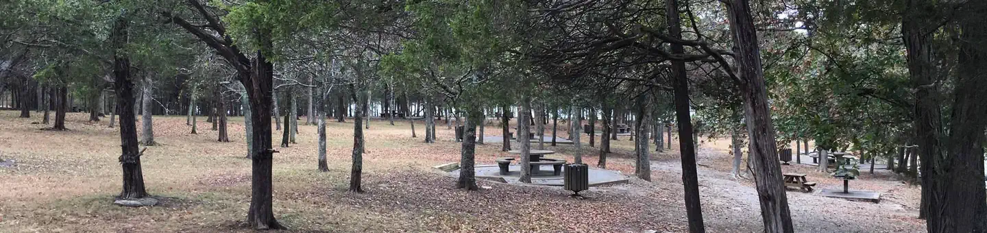
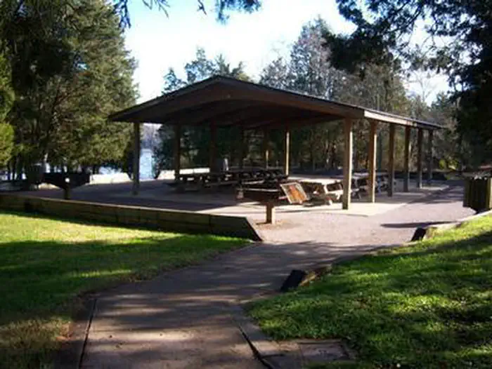
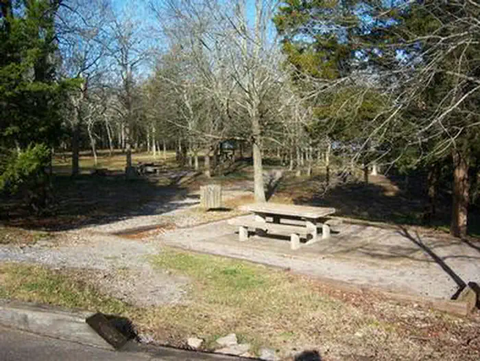
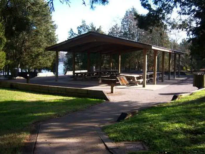
Overview Smith Springs Recreation Area is a lakeside oasis in the hills of middle Tennessee, providing visitors with countless recreational activities on the lake and in the surrounding woods and grasslands. Recreation The lake provides a variety of outdoor recreational opportunities for millions of visitors each year. Because of the temperate climate and relatively long recreation season, visitors have numerous activities to choose from, including fishing, hunting, picnicking, boating, canoeing, hiking, horseback riding and wildlife viewing. Fishing opportunities abound at J. Percy Priest Lake, with a wide variety of species available, including largemouth and smallmouth bass, crappie, striped bass, Cherokee bass, and white bass. Other species such as catfish, bluegill, bream and trout provide excellent opportunities for younger anglers. Nearby Anderson Road Fitness Trail is a paved trail winding a little over a mile through the cedar glade area beside the lake. Facilities Smith Springs Recreation Area offers a large group shelter for day use and can accommodate up to 50 guests. There is limited parking suitable only for 12 vehicles. Natural Features J. Percy Priest Dam and Lake was one of the first Corps of Engineers lakes to have recreation as part of its justification. The dam, completed in 1968, impounds 42 miles, with 14,200 surface acres of water. In soothing contrast to the sparkling waters of the lake are the adjacent 19,087 acres of grasslands and woodlands. A highlight of the region, the Cedar Glades Natural Area, is home to countless wildlife and plant species, including the Tennessee coneflower. Nearby Attractions J. Percy Priest Lake is conveniently located about 10 miles east of downtown Nashville, offering visitors countless cultural activities and the conveniences of a metro area.
From the managing agency.
Is SMITH SPRINGS free?
We do not have a fee on record for SMITH SPRINGS. Confirm the cost locally before you go.
How do I get to SMITH SPRINGS?
SMITH SPRINGS is at 36.0889, -86.5889. We do not hold written directions for this one, so navigate to the coordinates.
Nearby
- ANDERSON ROAD CAMPGROUND1.5 mi
- SEVEN POINTS (TN)3.2 mi
- COOK DAY USE AREA3.3 mi
- POOLE KNOBS5.1 mi
- JEFFERSON SPRINGS8.9 mi
- SHUTES BRANCH11.0 mi
- CEDAR CREEK (TN)13.7 mi
- OLD HICKORY BEACH14.3 mi
No other services within 50 mi on the record.
SourceSource data is agency published. Last synced September 19, 2026. Community reports and photos are submitted by travelers and are not verified by the agency.
