
MCNABB CREEK GROUP
Campground · Fee not listed
Fast facts
- Cost
- Not listed. Check locally.
- Type
- Campground
- Nearest dump station
- North River Checking Station · 1.0 mi
- Coordinates
- 35.3283, -84.1289
- Last verified
- September 19, 2026
About this place
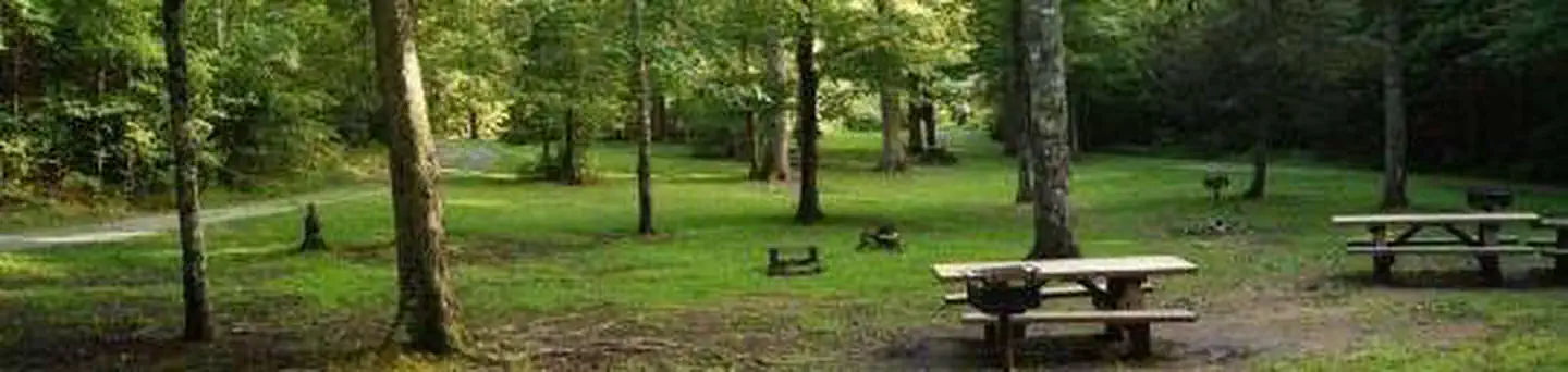
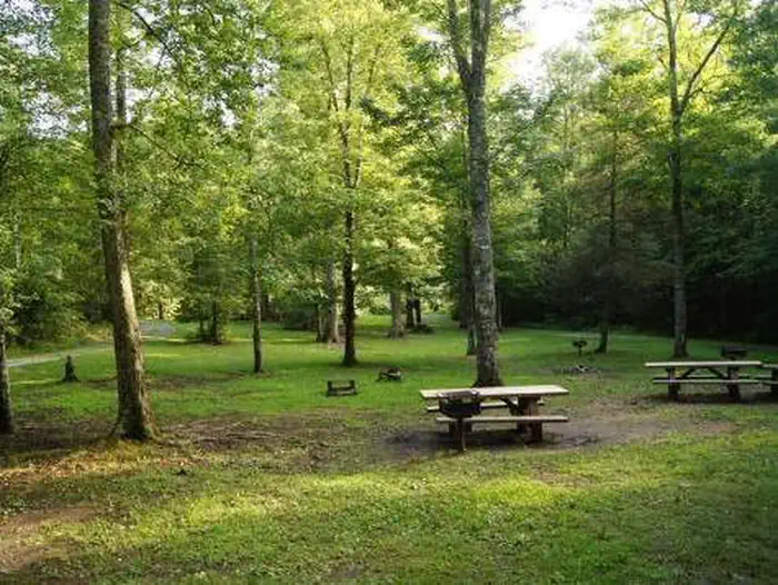
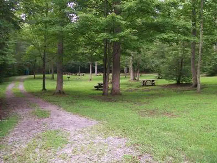
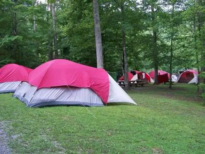
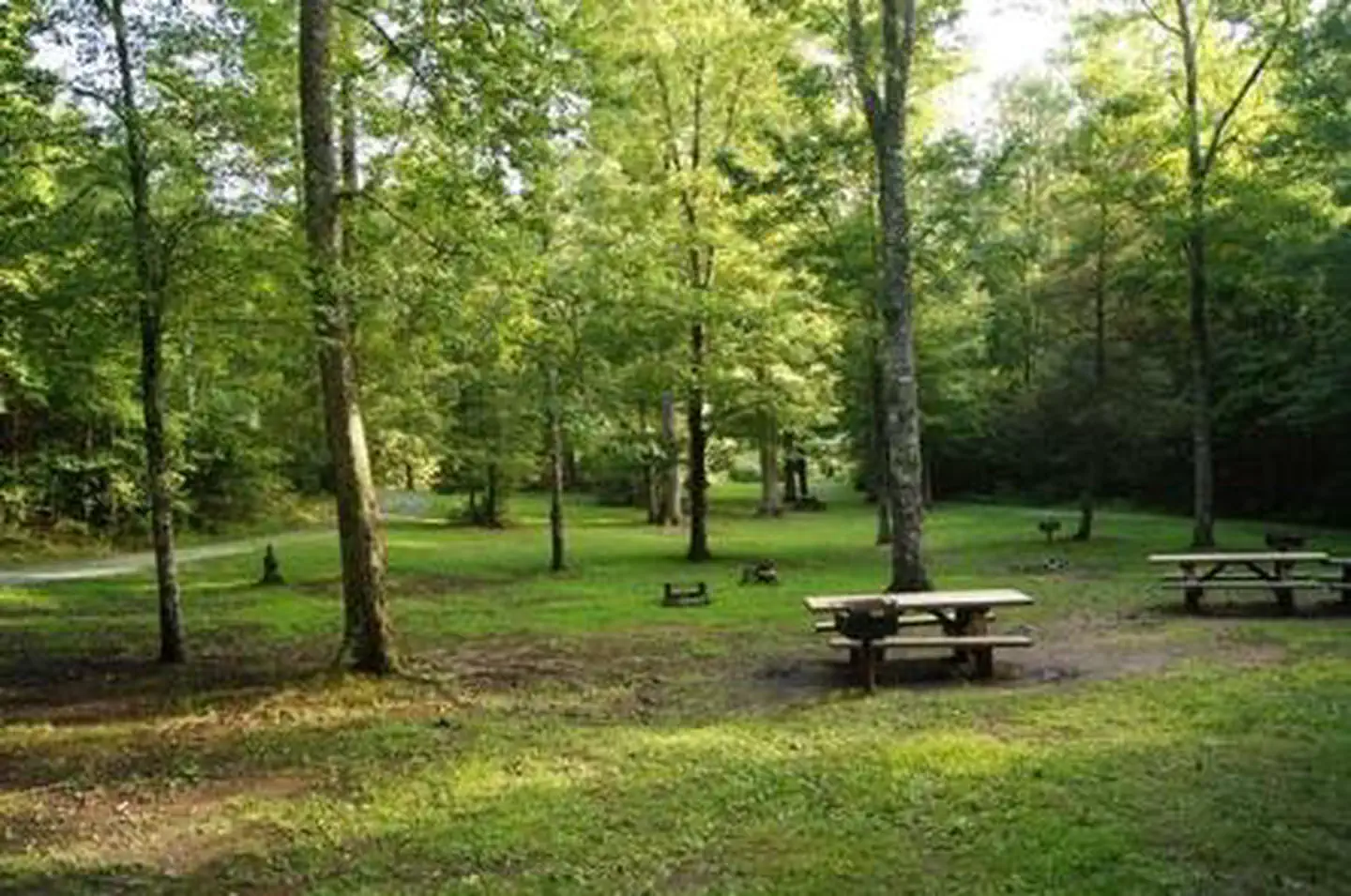
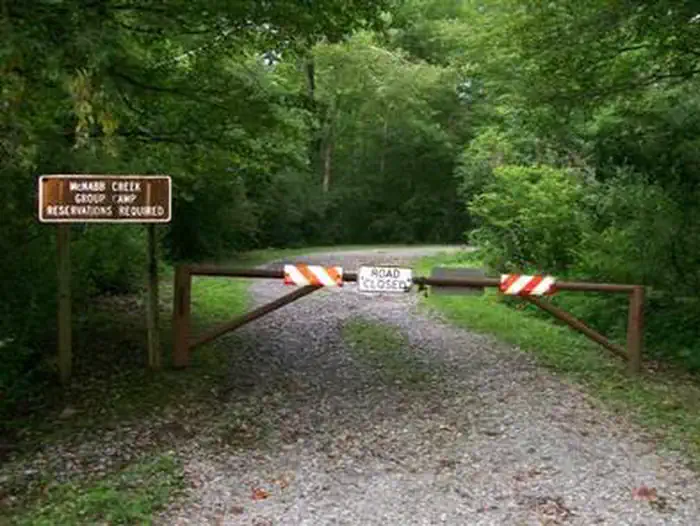
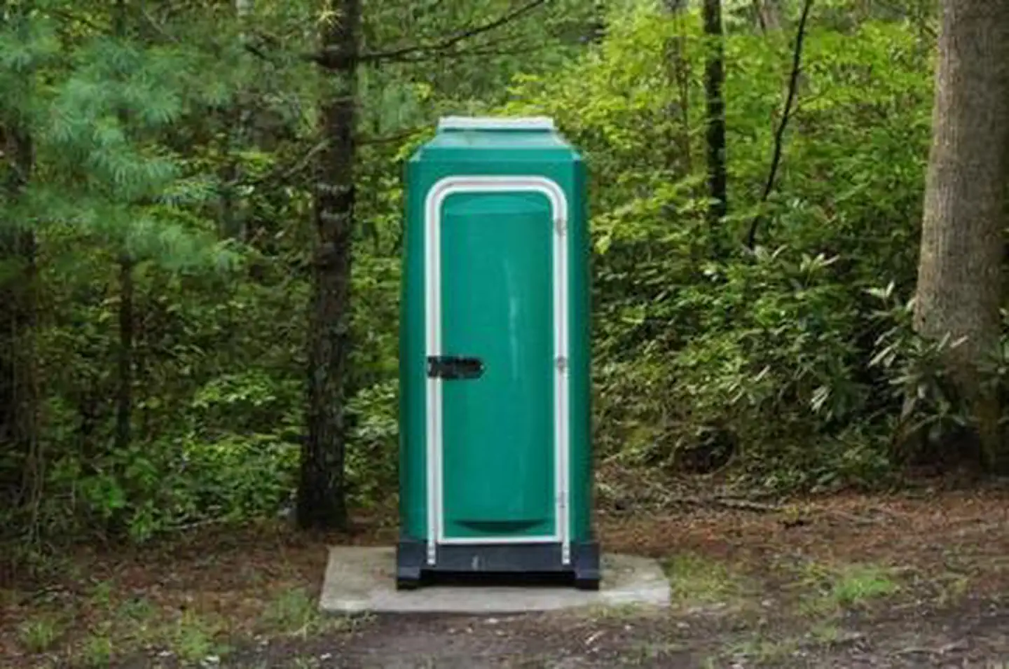
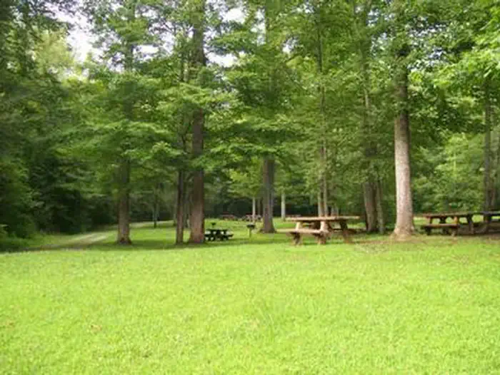
Overview McNabb Creek Group Campground is located on the North River in the Tellico River area. Fishing, swimming, hiking and hunting are popular activities. Recreation The North River offers plenty of fishing and swimming opportunities. Visitors also enjoy hiking local trails and seasonal hunting. Facilities The campground offers one group site that can accommodate from 10 to 60 people. It is equipped with picnic tables, grills and portable toilets. Natural Features The campground sits along the North River, a major tributary of the Tellico River, in the Smokey Mountains of the Cherokee National Forest in eastern Tennessee. Cherokee is Tennessee's only national forest, covering 650,000 acres from Chattanooga to Bristol along the North Carolina border. The forest is in the heart of the Southern Appalachians and is home to more than 20,000 species of plants and animals, as well as many rivers, creeks and lakes. Elevations range from 750 to 5,500 feet. Nearby Attractions The mountain town of Tellico Plains, less than 20 miles away, is known for its arts and crafts. The campground is 18 miles off the Cherohala Skyway, a 43-mile National Scenic Byway stretching from Tellico Plains, Tennessee, to Robbinsville, North Carolina.
From the managing agency.
Is MCNABB CREEK GROUP free?
We do not have a fee on record for MCNABB CREEK GROUP. Confirm the cost locally before you go.
How do I get to MCNABB CREEK GROUP?
MCNABB CREEK GROUP is at 35.3283, -84.1289. We do not hold written directions for this one, so navigate to the coordinates.
Nearby
SourceSource data is agency published. Last synced September 19, 2026. Community reports and photos are submitted by travelers and are not verified by the agency.
