
LONE BRANCH
Campground · Fee not listed
Fast facts
- Cost
- Not listed. Check locally.
- Type
- Campground
- Phone
- (615) 822-4846
- Coordinates
- 36.2843, -86.5000
- Last verified
- September 19, 2026
About this place
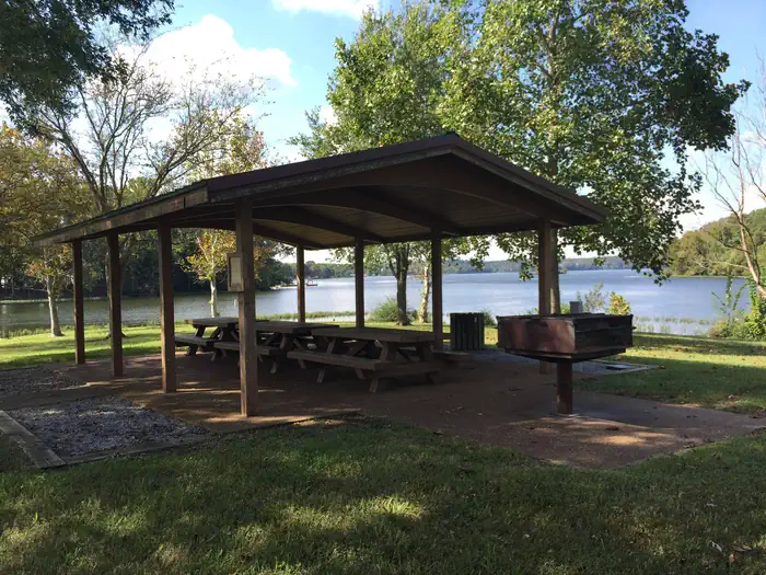
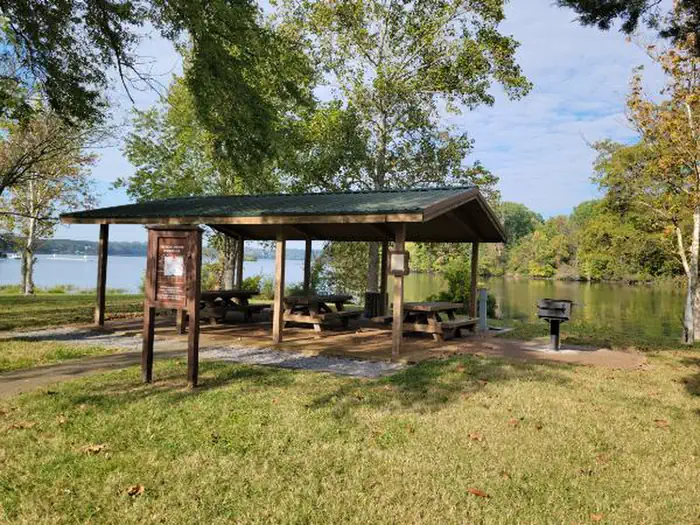
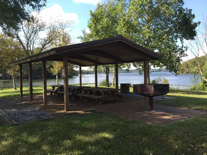
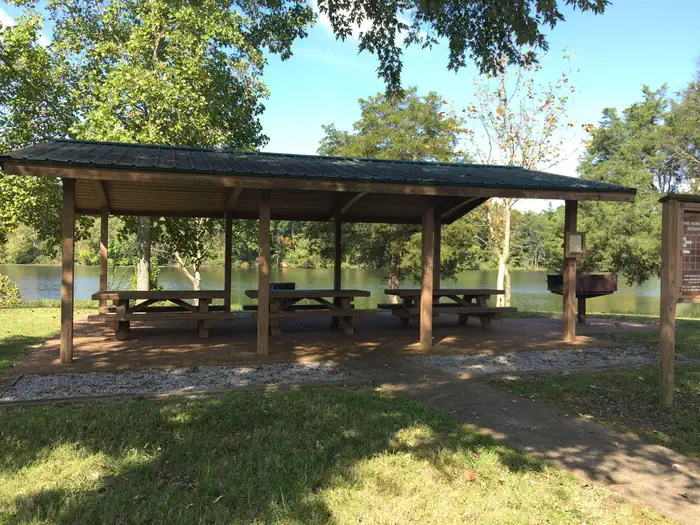
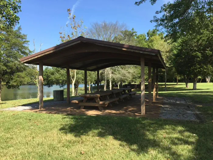
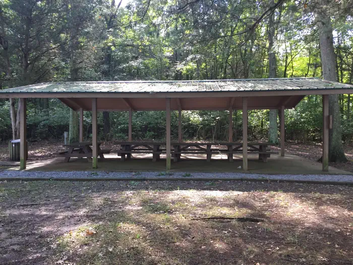
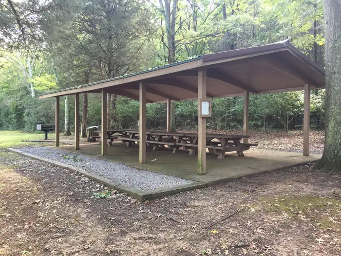
Overview Lone Branch offers all the amenities visitors need for a peaceful Tennessee getaway. Plenty of trees to provide shade, grassy open areas to run around, grills for barbequing and a boat ramp. Recreation Boating and fishing are generally the main attractions for lake-goers, with anglers often catching black bass, crappie and catfish. Facilities Both group picnic shelters have electric hookups and grills, and each holds up to 50 guests; however, parking may be limited. A boat ramp is also available for use. Natural Features Old Hickory Lake is a reservoir in north-central Tennessee created by the Old Hickory Lock and Dam. The lake spans 22,500 acres and receives its primary inflow from the Cumberland River. Nearby Attractions Lone Branch is just beyond the Nashville metropolitan area. Head to the "Music City" to tour the Country Music Hall of Fame or explore former President, Andrew Jackson's early 19th century home, The Hermitage-- a National Historic Landmark. Charges & Cancellations If a customer cancels a group day use facility (shelter) reservation within 14 days of the scheduled arrival date, they will forfeit the total day use fee with no service fee charge.
From the managing agency.
Is LONE BRANCH free?
We do not have a fee on record for LONE BRANCH. Confirm the cost locally before you go.
How do I get to LONE BRANCH?
LONE BRANCH is at 36.2843, -86.5000. We do not hold written directions for this one, so navigate to the coordinates.
Nearby
- CEDAR CREEK (TN)0.8 mi
- CAGES BEND1.7 mi
- LAGUARDO3.1 mi
- AVONDALE3.6 mi
- NAT CALDWELL PARK4.5 mi
- SHUTES BRANCH4.7 mi
- ROCKLAND RECREATION AREA8.5 mi
- OLD HICKORY BEACH9.0 mi
No other services within 50 mi on the record.
SourceSource data is agency published. Last synced September 19, 2026. Community reports and photos are submitted by travelers and are not verified by the agency.
