
LOCK A
Campground · Fee not listed
Fast facts
- Cost
- Not listed. Check locally.
- Type
- Campground
- Phone
- 615-792-3715
- Coordinates
- 36.3158, -87.1869
- Last verified
- September 19, 2026
About this place
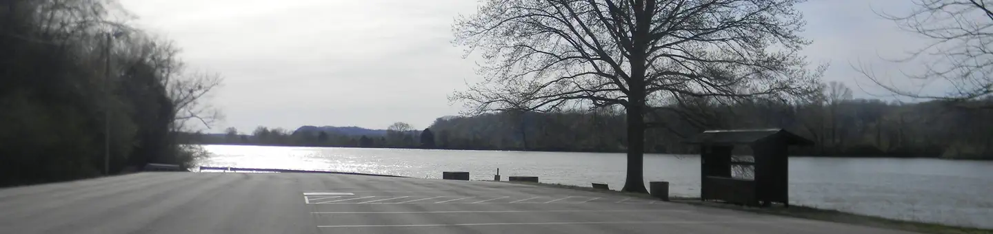
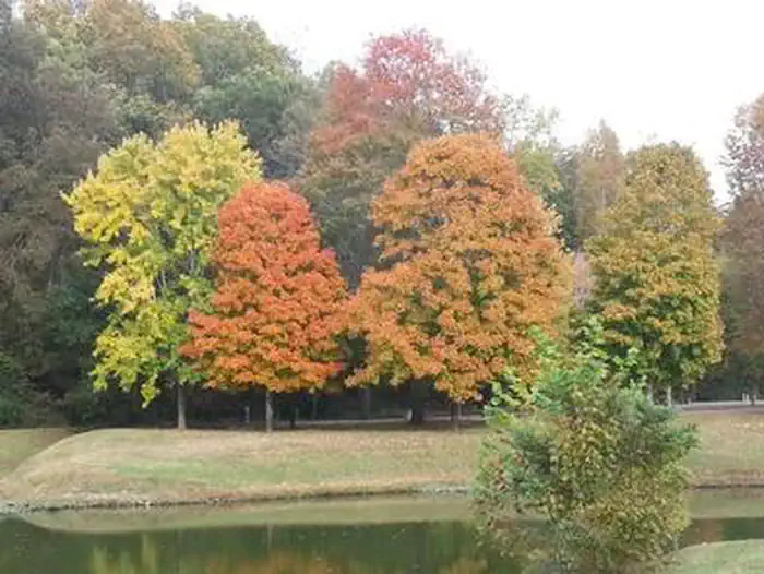
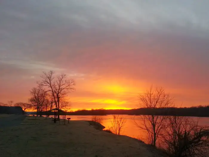
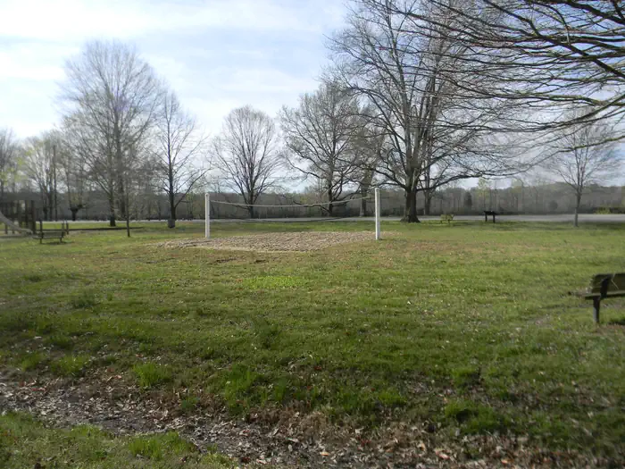
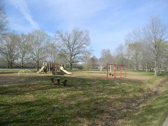
Overview The relaxing yet activity-rich Lock A Campground has something to offer everyone from horseshoe pits to volleyball courts and hiking opportunities, plus a plethora of lake activities as well. Keep in mind, staff will hold a campsite until the check-out time (2:00 pm) on the day following the arrival date. However, if you're arrving late, we highly recommend you call the campground to notify the Park Attendant. If arrival does not occur before check-out time on the day following the arrival date, the reservation will be canceled. Recreation The temperate climate here allows for a lengthy recreation season including boating, swimming, canoeing and fishing. For hikers, the Cumberland River Bicentennial Trail is a rails-to-trails project, which runs 6.5 miles long and crosses Sycamore Creek on a historic abandoned railroad trestle. Facilities Both RV and tent sites have 50 amp electric hookups. Additional amenities include hot showers, a dump station, boat launch, playground, picnic shelter and swimming area. A beach and additional playgrounds are available in the adjacent Cheatham Dam Right Bank Recreation Area. Natural Features Lock A is on the north bank of the lake, just upstream from Cheatham Lock and Dam along the Cumberland River in north-central Tennessee. Nearby Attractions The Pardue Pond and Dyson Ditch Wildlife Refuges are on the other side of Cheatham lake. Both are excellent places for bird watching and exploring.
From the managing agency.
Is LOCK A free?
We do not have a fee on record for LOCK A. Confirm the cost locally before you go.
How do I get to LOCK A?
LOCK A is at 36.3158, -87.1869. We do not hold written directions for this one, so navigate to the coordinates.
Nearby
- Right Bank Recreation Area0.5 mi
- HARPETH RIVER BRIDGE CAMPGROUND (TN)3.2 mi
- OLD HICKORY BEACH29.4 mi
- ROCKLAND RECREATION AREA30.0 mi
- SHUTES BRANCH34.7 mi
- COOK DAY USE AREA35.3 mi
- ANDERSON ROAD CAMPGROUND35.6 mi
- AVONDALE36.0 mi
No other services within 50 mi on the record.
SourceSource data is agency published. Last synced September 19, 2026. Community reports and photos are submitted by travelers and are not verified by the agency.
