
CHILHOWEE CAMPGROUND
USFS · Campground · Fee
Fast facts
- Cost
- Fee charged
- Managed by
- USFS
- Type
- Campground
- Hours
- Check in: 2:00 p.m.; Check-out: 12:00 p.m.; Quiet hours are 10:00 p.m. until 6:00 a.m.
- Reservations
- recreation.gov
- Phone
- 423-338-3300
- Nearest dump station
- North River Checking Station · 29.5 mi
- Coordinates
- 35.1538, -84.6091
- Last verified
- September 19, 2026
About this place
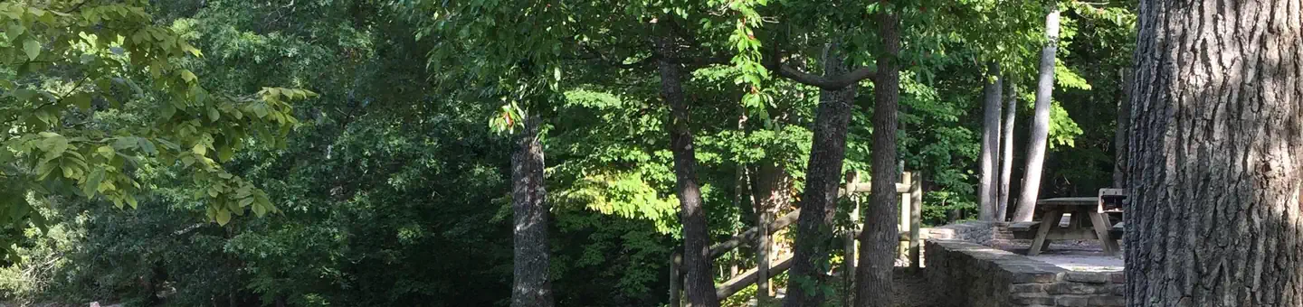
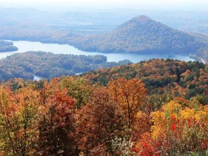
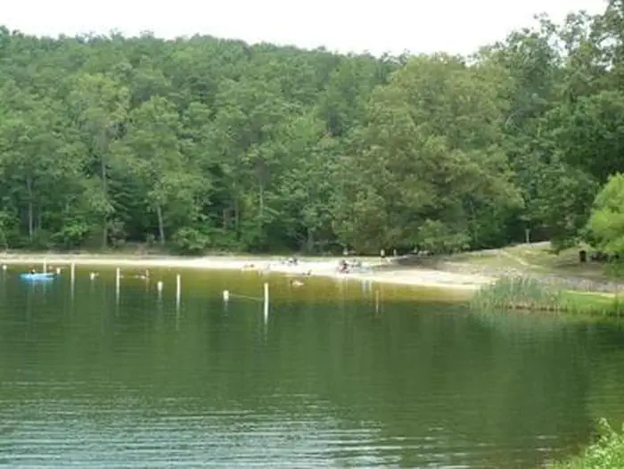
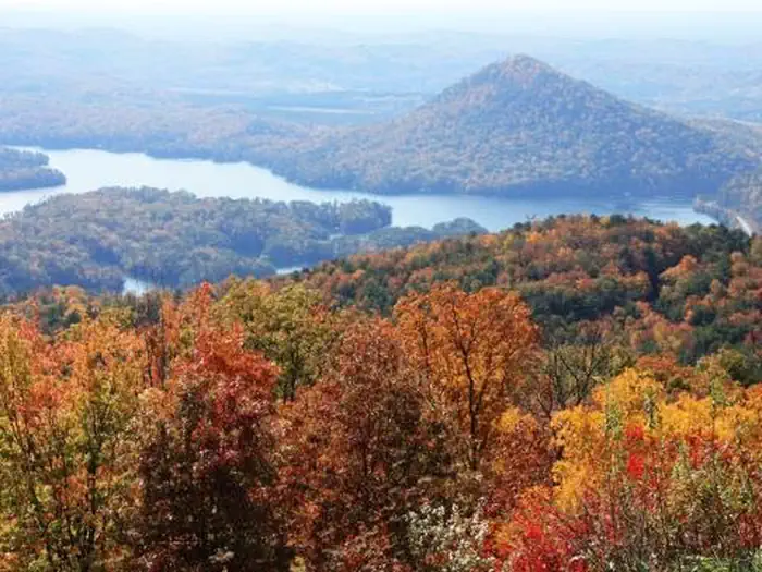
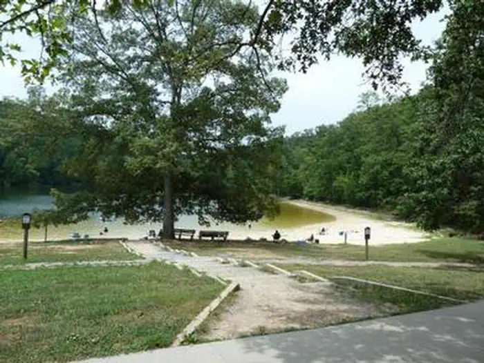
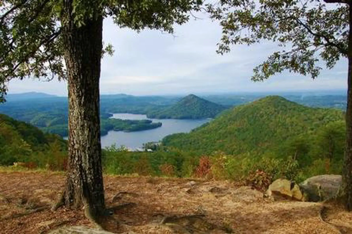
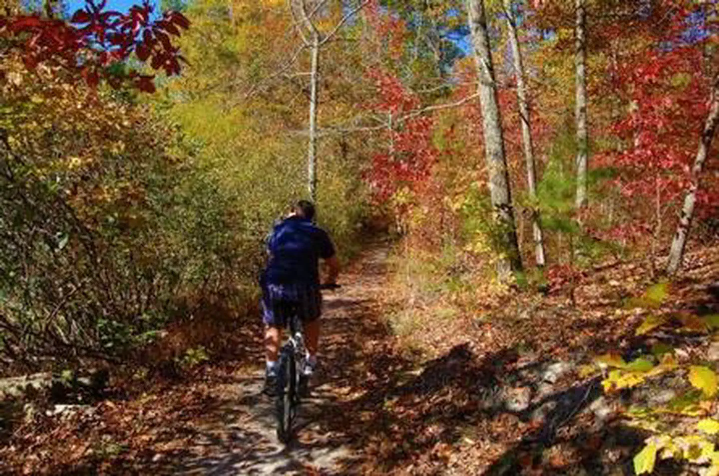
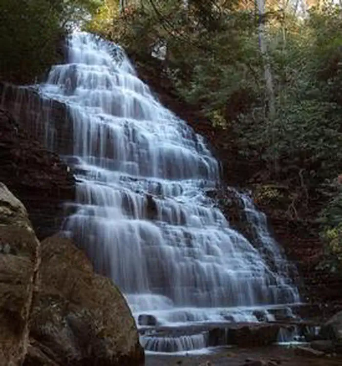
Overview Located in the Chilhowee Recreation Area, Chilhowee Campground offers a multitude of camping opportunities for both RV and tent sites, many with electric hookups. The day-use area includes McKamy Lake, a swim area with sand beach, picnic sites, a group picnic area, and a bathhouse. Be Aware; Do not use GPS directions: GPS coordinates will direct you up Benton Springs Rd. This route is not recommended. We recommend using Forest Service Road 77 to reach the recreation area. It's important to note, this facility requires driving 7 miles up to Chilhowee Campground on a narrow, winding road. Do not use the Benton Springs Access Road to the campground as this is an unpaved and dangerous road for RVs. Inexperienced RV drivers may have difficulties getting to and around the site. Recreation Chilhowee Recreation Area is an excellent hub for hiking and mountain biking in the Chilhowee Trails System, fishing in McKamy Lake, and wildlife viewing without having to get in your car. The 7-acre McKamy Lake offers a swim area with a sand beach, and fishing from the bank. Boats are allowed, but gasoline motors are not. Within the recreation area are approximately 25 miles of hiking and biking trails, and a scenic waterfall. The views and lake are beautiful, especially hiking to Benton Falls via a 1.5 mile in and out moderate trail. On the drive up to the campground, stop at one of the many observation overlooks to see beautiful mountain settings. Wildlife is abundant in this area, so have your camera ready and tread lightly. Chilhowee Recreation Area Map and Guide Facilities Picnic tables, grills, and lantern posts are located at each site. Bathhouses providing flush toilets and warm showers are available in each loop, as well as in the day use area. Water hydrants are located throughout the campground. An RV dump station is located at the end of E Loop. Loops A and B offer walk-in tent sites with electricity. Be Aware; Do not use GPS directions: GPS coordinates will direct you up Benton Springs Rd. This route is not recommended. We recommend using Forest Service Road 77 to reach the recreation area. It's important to note, this facility requires driving 7 miles up to Chilhowee Campground on a narrow, winding road. Do not use the Benton Springs Access Road to the campground as this is an unpaved and dangerous road for RVs. Inexperienced RV drivers may have difficulties getting to and around the site. Natural Features The Cherokee National Forest is located in eastern Tennessee and stretches from Chattanooga to Bristol along the North Carolina border. The 650,000-acre swath of land is Tennessee's only national forest. It lies in the heart of the Southern Appalachians and is home to more than 20,000 species of plants and animals, as well as many rivers, creeks and lakes. Nearby Attractions In addition to the immediate local activities, world class whitewater rafting opportunities are nearby on the Ocoee and Hiwassee Rivers.
From the USFS.Official page
Is CHILHOWEE CAMPGROUND free?
No. CHILHOWEE CAMPGROUND charges a fee. It is managed by the USFS. Sites are reservable through recreation.gov.
How do I get to CHILHOWEE CAMPGROUND?
From Highway 64/411 intersection travel east 7 miles, turn onto Forest Road 77, drive 7.5 miles up Chilhowee Mountain to campground/recreation area entrance sign and turn right.
Nearby
SourceData from the USFS. Last synced September 19, 2026. Community reports and photos are submitted by travelers and are not verified by the agency.
