
LEFT TAILRACE
Campground · Fee not listed
Fast facts
- Cost
- Not listed. Check locally.
- Type
- Campground
- Phone
- 605-245-2173. FOR RESERVATIONS, PLEASE CALL 1-877-444-6777.
- Coordinates
- 44.0408, -99.4394
- Last verified
- September 19, 2026
About this place
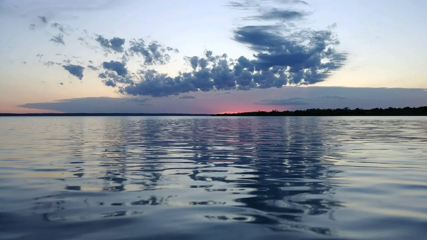
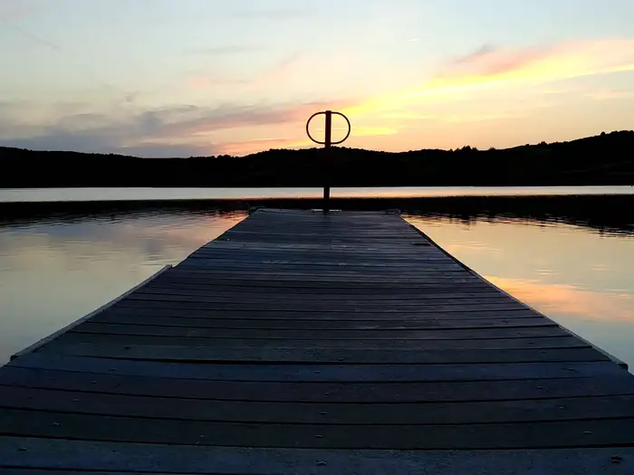
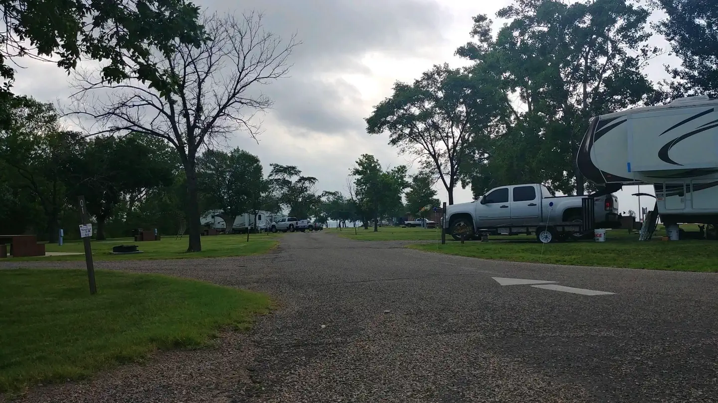
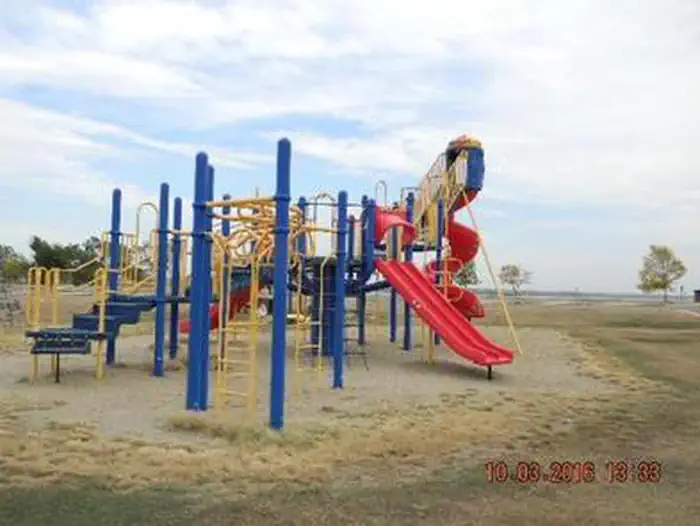
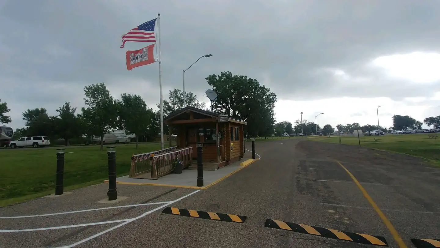
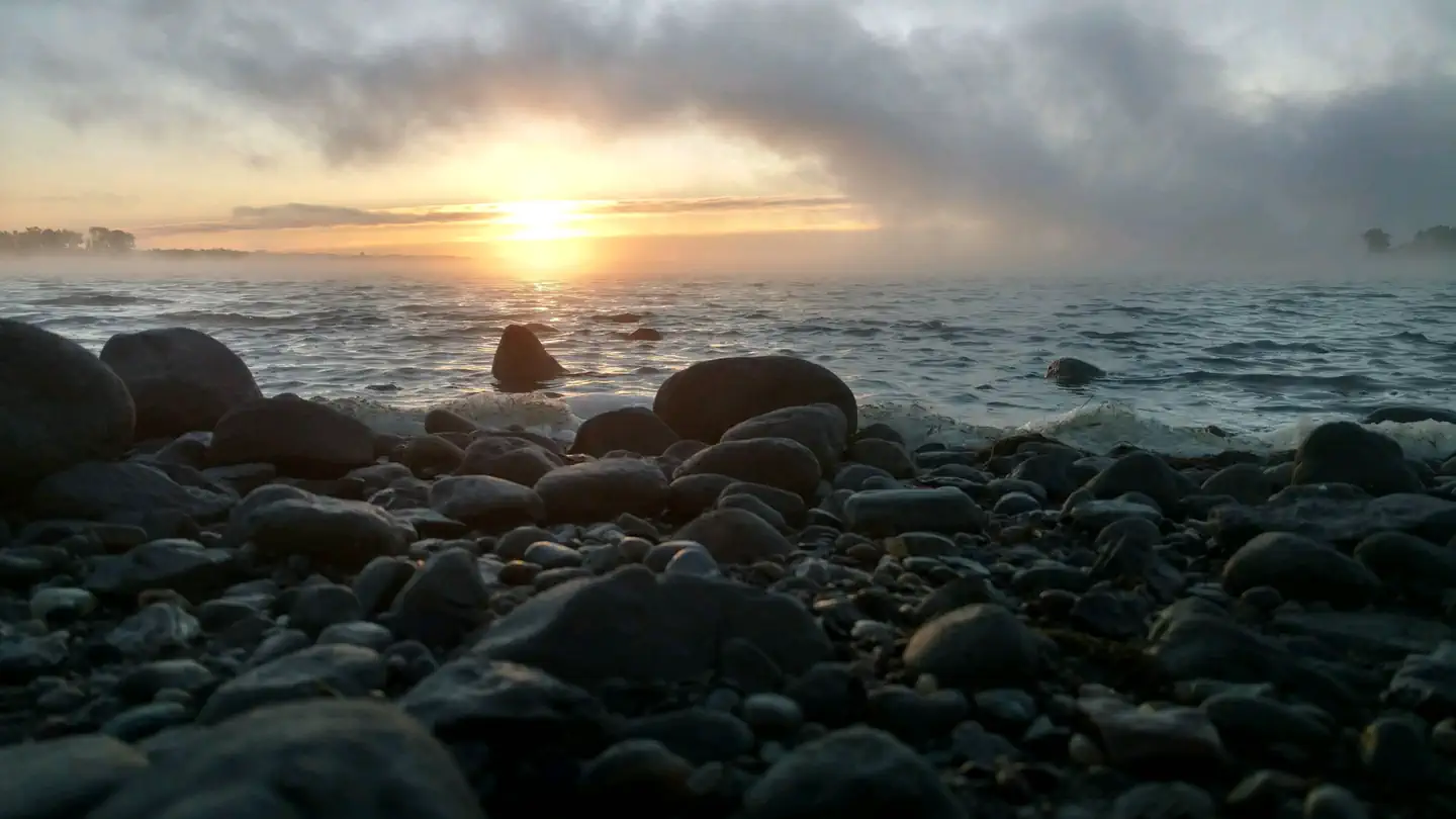
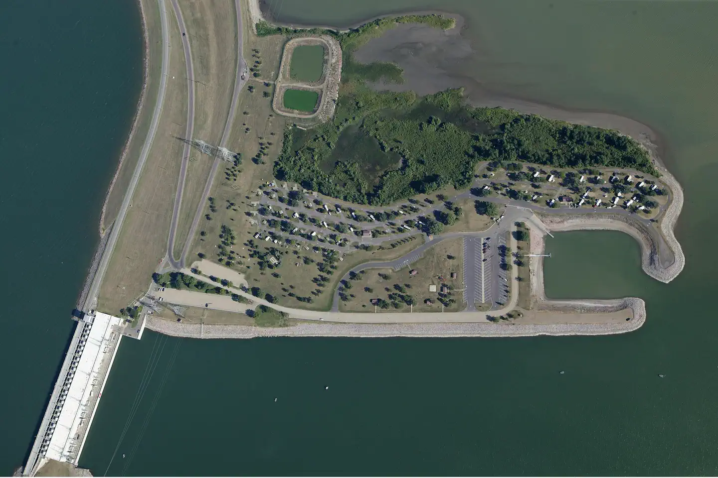
Overview Left Tailrace Campgound at the U.S. Army Corps of Engineers - Big Bend Project, sits on the shore of Lake Francis Case on the Missouri River below Big Bend Dam. Just upstream of Left Tailrace, Lake Sharpe, a popular recreation destination in the Great Plains,was created by the completion of Big Bend Dam in 1966. Today, approximately 80,000 acres of public lands and water provide a variety of benefits to the public including flood control, recreation, conservation of our natural resources, fish and wildlife habitat, irrigation, and hydropower production. It is possible to view many types of wildlife on the Missouri River at Lake Sharpe. Tribal bison herds can be seen grazing the lake area's grasslands north of the towns of Fort Thompson and Lower Brule. The shoreline areas of the lake also offer excellent waterfowl, upland game birds and big game hunting opportunities. Big game animals include whitetail and mule deer, elk, bison, coyotes and wild turkeys. Waterfowl and upland game birds include ducks, geese, pheasants, prairie chickens, and grouse. Hunting regulations are established and enforced by the State of South Dakota, and the Lower Brule and Crow Creek Tribes. For more information, visit the Big Bend Project website . Recreation Lake Sharpe provides many opportunities for outdoor recreation. Recreation areas vary from primitive to highly developed areas like the Left Tailrace area located below the dam. Facilities at the Left Tailrace include campsites with electrical hookups, comfort stations with showers, a dump station, boat ramp, fish cleaning station, courtesy dock, picnic shelters, tables, grills, drinking water, disc golf, etc. Fishing is the main attraction to the area, with walleye being the primary sport fish, although sauger, smallmouth bass, white bass, channel catfish and northern pike also provide great fishing action. Facilities Left Tailrace Campground offers 81 electrical hookups and 12 non-electrical tent sites. Electrical sites have a 30 and 50 amp pedastal, paved pull-thru and back-in sites. Left Tailrace Campground also offers men's and women's comfort stations with showers and toilet stalls. Each site has a picnic table and most with shelter covering, fire ring and shade nearby. Tents sites have fire rings and picinic tables. The area also offers large day use areas with shelters and grills, play grounds and a nine-hole disc golf range. Natural Features Left Tailrace Campground is located in central South Dakota, three miles from the town of Fort Thompson, 20 miles from Chamberlain and 65 miles from Pierre, which is the state capitol. Lake Sharpe was the last of the Missouri River reservoirs completed and follows a serpentine course of 80 miles between Big Bend Dam and Pierre, SD. Contact Info For facility specific information, please call (605) 245-2255. Nearby Attractions Charges & Cancellations Reservation changes and cancellations can be made on Recreation.gov or by calling 1-877-444-6777. For more information on rules and policies regarding reservation cancellations and changes, please visit: https://www.recreation.gov/rules-reservation-policies .
From the managing agency.
Is LEFT TAILRACE free?
We do not have a fee on record for LEFT TAILRACE. Confirm the cost locally before you go.
How do I get to LEFT TAILRACE?
LEFT TAILRACE is at 44.0408, -99.4394. We do not hold written directions for this one, so navigate to the coordinates.
SourceSource data is agency published. Last synced September 19, 2026. Community reports and photos are submitted by travelers and are not verified by the agency.
