
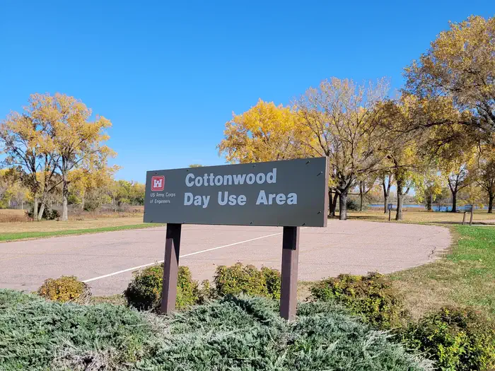
Cottonwood (NE) Day Use Shelter
Campground · Fee
Fast facts
- Cost
- Fee charged
- Type
- Campground
- Phone
- 402-667-2546
- Coordinates
- 42.8630, -97.4846
- Last verified
- September 19, 2026
About this place
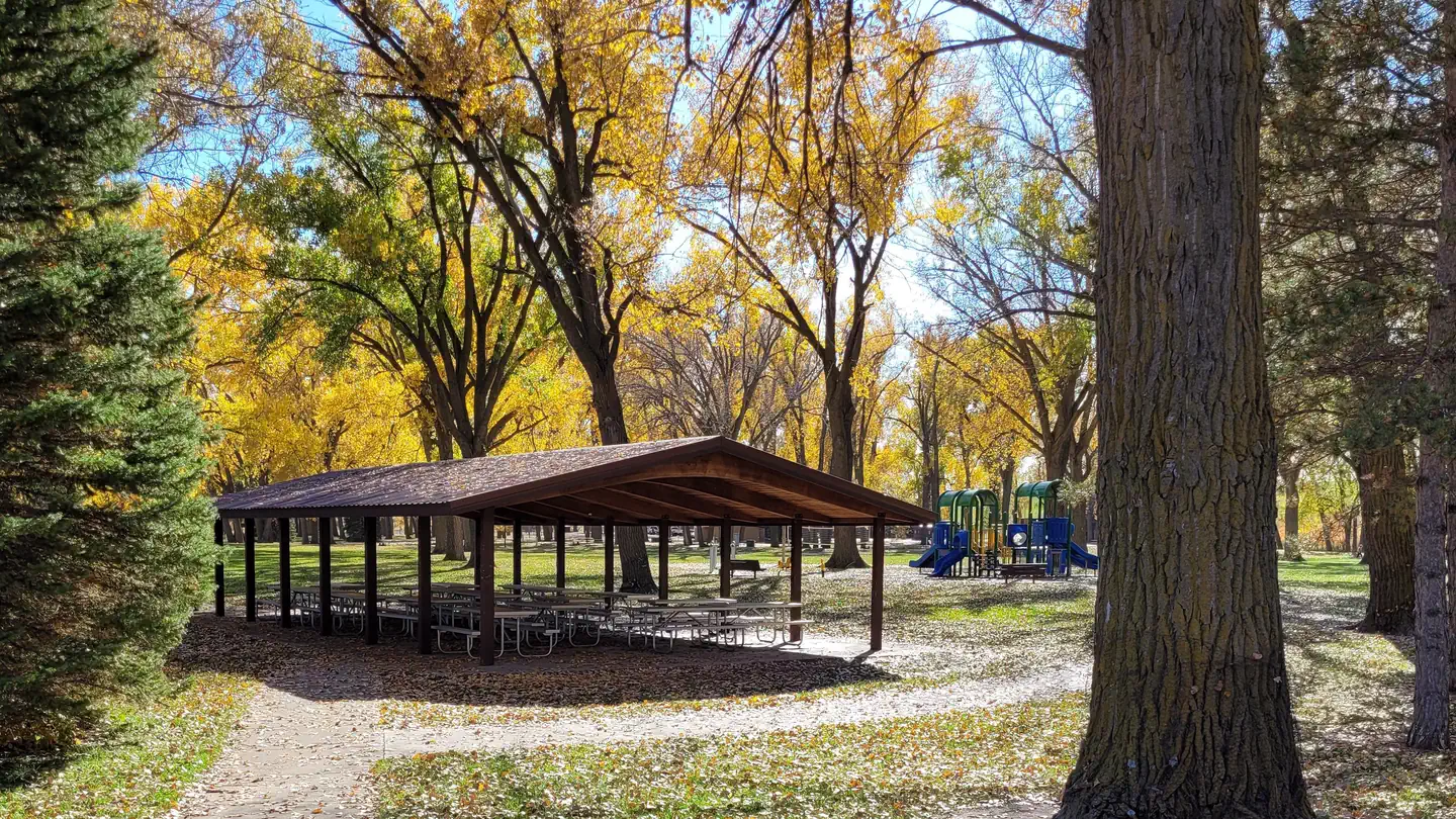
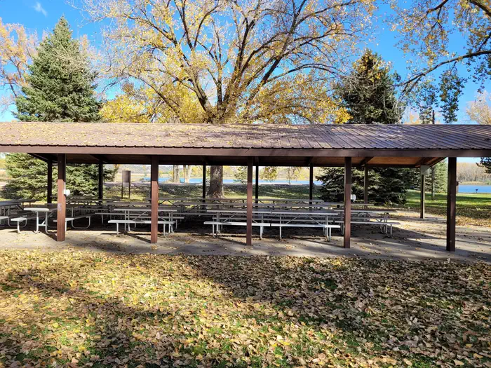
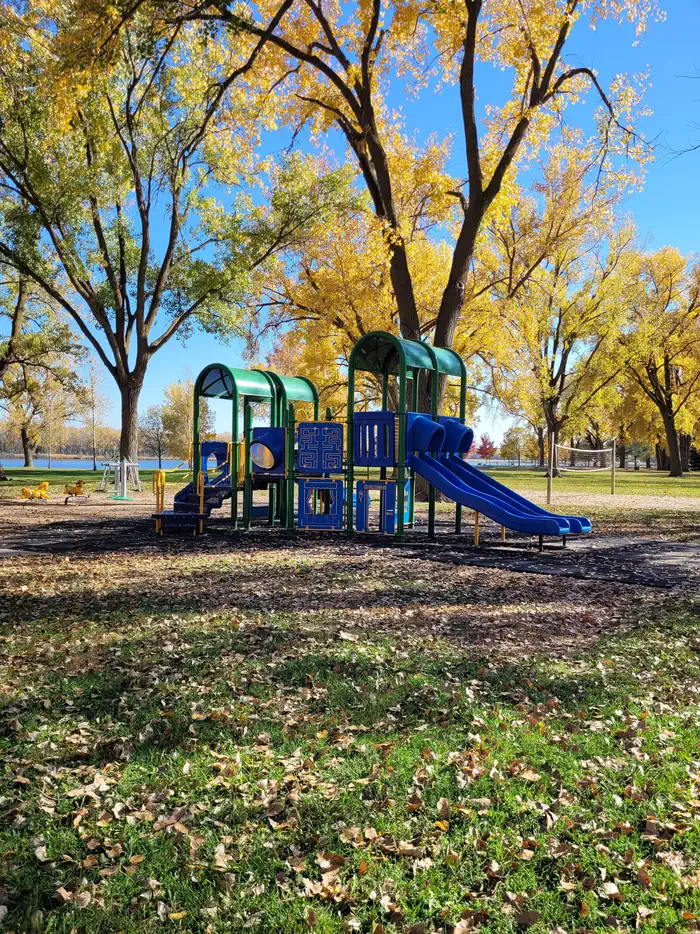
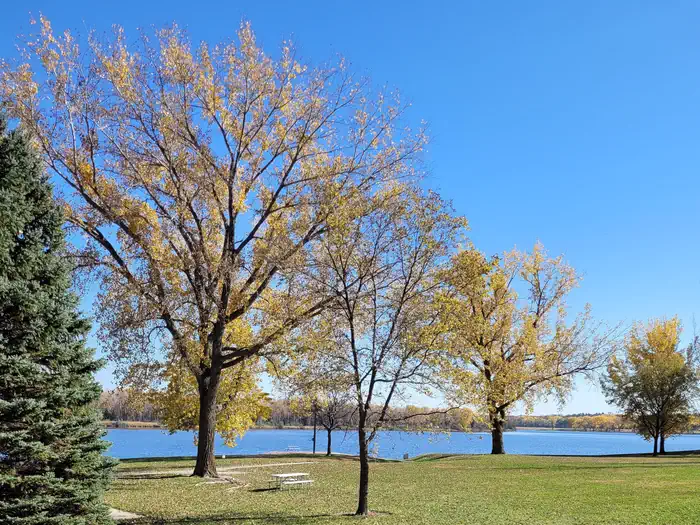
Overview Cottonwood Day Use Shelter is located near Lake Yankton in Cottonwood Day Use Area. Recreation Horse shoe pits, a disc golf course, a sand volleyball court, and a playground all sit next to the Cottonwood Day Use Shelter. It is also close to Lake Yankton which has plenty of shoreline access for fishing. Facilities The shelter has lights, electricty, water near by, and a large grill. Nearby Attractions Nearby attractions include, Gavins Point Dam, Lewis and Clark and historic Yankton, SD.
From the managing agency.
Is Cottonwood (NE) Day Use Shelter free?
No. Cottonwood (NE) Day Use Shelter charges a fee.
How do I get to Cottonwood (NE) Day Use Shelter?
Cottonwood (NE) Day Use Shelter is at 42.8630, -97.4846. We do not hold written directions for this one, so navigate to the coordinates.
Nearby
- COTTONWOOD (NE)0.3 mi
- Gavins Point Overlook Day Use Shelter1.1 mi
- NEBRASKA TAILWATERS1.2 mi
- Green Island Primitive Camping4.1 mi
- Bow Creek Primitive Camping18.1 mi
- Goat Island Primitive Camping22.3 mi
No other services within 50 mi on the record.
SourceSource data is agency published. Last synced September 19, 2026. Community reports and photos are submitted by travelers and are not verified by the agency.
