
COMANCHE PARK
Campground · Fee not listed
Fast facts
- Cost
- Not listed. Check locally.
- Type
- Campground
- Coordinates
- 43.7364, -103.7022
- Last verified
- September 19, 2026

About this place
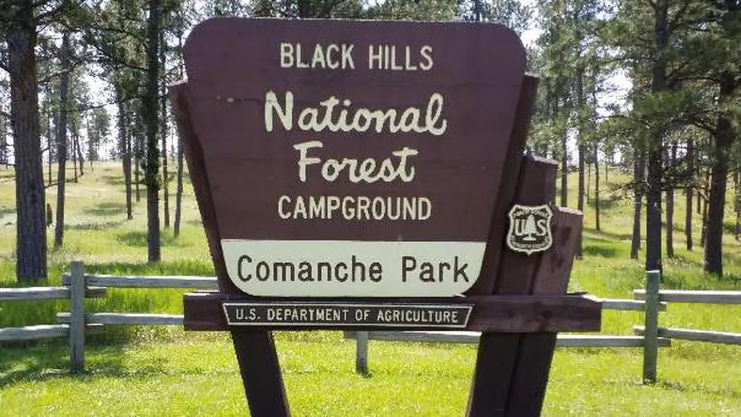
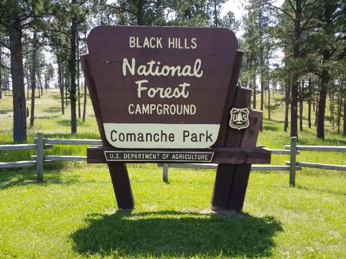
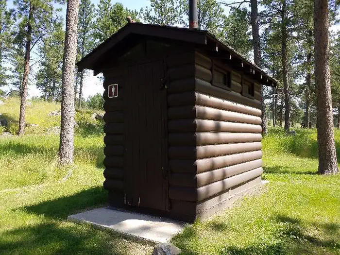
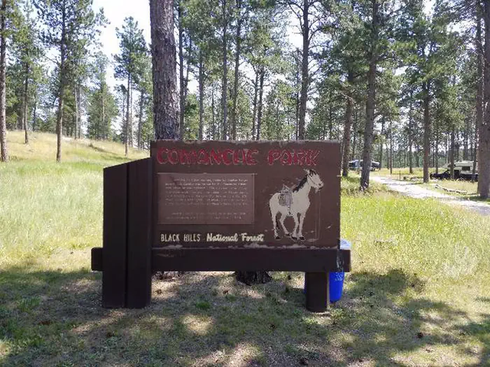
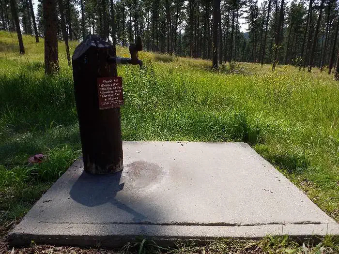
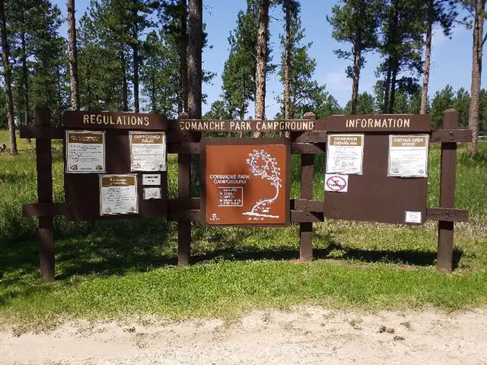
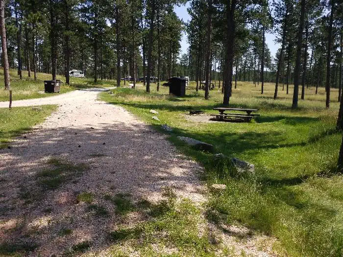
Overview Situated in an open Ponderosa pine forest 6.5 miles west of Custer, South Dakota, Comanche Park Campground is a campground for visitors seeking recreation and relaxation in the southern Black Hills National Forest. The campsites are spacious. Towering pine trees provide shade. This is the closest campground to Jewel Cave National Monument. Recreation The forest offers highly accessible recreation for all ages. Visitors can take advantage of opportunities for hiking, fishing, horseback riding, mountain biking, and riding off-highway vehicles (OHVs) on moderate terrain. For those seeking higher elevations, a trek to the summit of nearby Black Elk Peak is worth the effort. Black Elk Peak is the highest natural point in the United States east of the Rocky Mountains. Most of the summit is bare granite and offers expansive views of the surrounding area. An old stone tower at the top, once used as a fire lookout, is still open to hikers. Facilities Comanche Park Campground has sites able to accommodate tents, trailers, and RVs. The campground is equipped with picnic tables, campfire rings, and vault toilets; however, electrical hook-ups are not available. Natural Features Located in western South Dakota and northeastern Wyoming, Black Hills National Forest encompasses nearly 1.25 million acres of rugged rock formations, canyons and gulches, open grassland parks, tumbling streams, deep blue lakes, and unique caves. Derived from the Lakota language, the words "Paha Sapa," meaning "hills that are black," honor the dark, pine-covered hills rising several thousand feet above the surrounding prairie. Nearby Jewel Cave is the second longest cave in the world at 159.29 miles. It features sparkling calcite crystals and other rare formations, as well as some of the largest concentrations of passageways in the world. Wildlife in the area abounds. Bighorn sheep navigate mountainous terrain, while elk, deer and pronghorn gather in forests and prairies. Bald eagles, hawks, osprey, peregrine falcon, and hundreds of other bird species can be found in the forest, especially along streams, lakes and rivers. Nearby Attractions Possible day trips include Custer State Park with its many buffalo and other wildlife, Crazy Horse Monument and Wind Cave National Park as well as Jewel Cave which is the second longest cave in the world at 159.29 miles. It features sparkling calcite crystals and other rare formations, as well as some of the largest concentrations of passageways in the world. Contact Info For facility specific information, please call (661) 702-1420. Charges & Cancellations No refunds will be given for weather or related events.
From the managing agency.
Is COMANCHE PARK free?
We do not have a fee on record for COMANCHE PARK. Confirm the cost locally before you go.
How do I get to COMANCHE PARK?
COMANCHE PARK is at 43.7364, -103.7022. We do not hold written directions for this one, so navigate to the coordinates.
Nearby
- Comanche Park Campground0.6 mi
- Bismark Lake9.8 mi
- Bismarck Lake Campground9.9 mi
- OREVILLE CAMPGROUND10.5 mi
- IRON CREEK HORSE CAMP12.7 mi
- Iron Creek Horse Camp13.1 mi
- Willow Creek Horse Camp13.8 mi
- WILLOW CREEK HORSE CAMP14.2 mi
No other services within 50 mi on the record.
SourceSource data is agency published. Last synced September 19, 2026. Community reports and photos are submitted by travelers and are not verified by the agency.
