
TRACY RIDGE
Campground · Fee not listed
Fast facts
- Cost
- Not listed. Check locally.
- Type
- Campground
- Phone
- 814-368-4158
- Coordinates
- 41.9442, -78.8761
- Last verified
- September 19, 2026
About this place
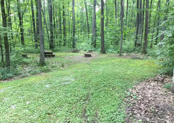
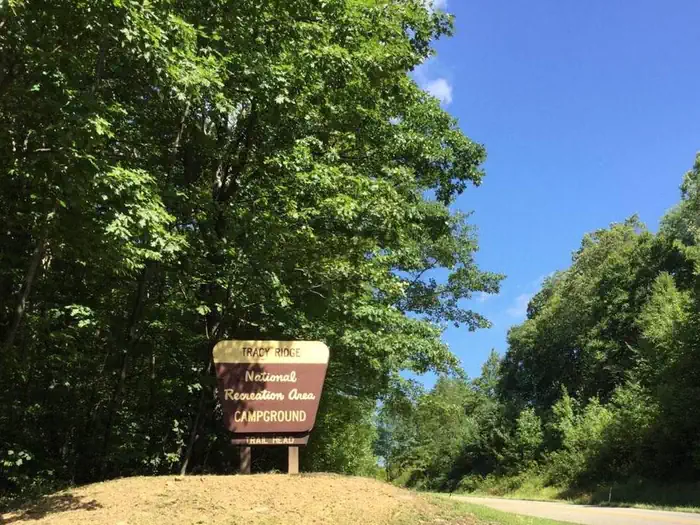
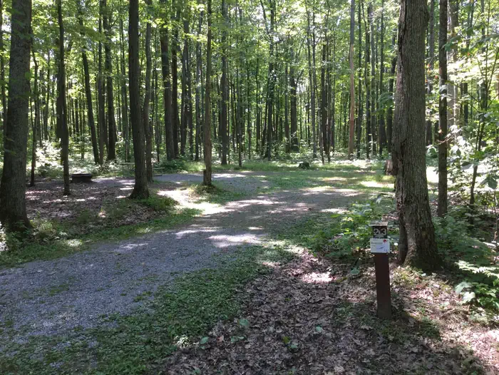
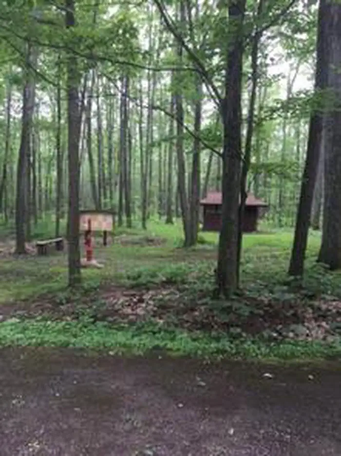
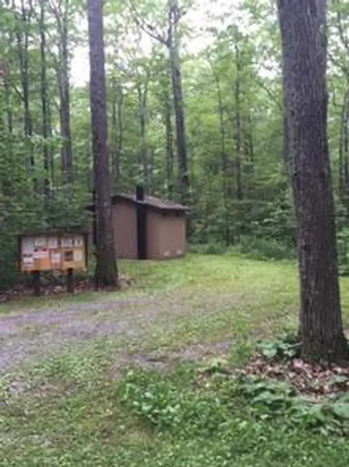
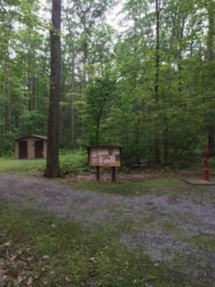
Overview Tracy Ridge Campground is located within the Allegheny National Recreation Area, approximately 15 miles from Bradford, Pennsylvania. Allegheny Reservoir is just minutes away. Hikers enjoy exploring the 33-mile Tracy Ridge Trail System, which inclused 10 miles of the North Country National Scenic Trail. Tracy Ridge campground is operated by Allegheny Site Management under a concession permit. Hand-pumped water is only available in Loop E. Recreation Hiking and backpacking possibilities abound in the Tracy Ridge Recreation Area. The trail system of interconnecting loops begins at the campground, and offers offers excellent day hikes. The main trail in the system is the Tracy Ridge trail, which circles the campground and drops down to the North Country National Scenic trail before climbing up the ridge back to the campground, making an approximate 16-mile loop. On the ridge above Tracy Run, there are two shorter loops for the less intrepid, and a connector to Johnnycake Trail, which goes from the loop around the campground down Johnnycake Run to the North Country Trail along the Reservoir. Connector trails off the North Country and Tracy Ridge trails lead to two primitive campgrounds on the Reservoir's shores: Handsome Lake and Hopewell. These two campgrounds are only accessed by foot or boat, and - with 3 other boat access campgrounds - are the only legal way to camp along the shore of the reservoir. The Bullis Hollow Trail leads east of the Tracy Ridge Recreation Area, heading for the city of Bradford and the Marilla Trail System on the Bradford Water Authority property approximately 8 miles away. Boat access to the Allegheny Reservoir is nearby at Willow Bay Recreation Area, for developed access, or Sugar Bay for primitive access. Facilities Over 70 spacious, shaded campsites are available, each containing a picnic table, campfire ring, and tent pad. Vault toilets are also available. Hand-pumped water is only available in loop E. Group sites are available by reserving entire camping loops. Natural Features The campground is situated in a mature oak stand on top of a hill, surrounded by streams and rock formations, at an elevation of 2,245 feet. The Allegheny Reservoir is approximately 5 miles from Tracy Ridge. The Allegheny National Forest covers nearly half a million acres and is populated primarily with black cherry, maple, and other hardwoods. The Kinzua Dam, built in 1965, impounds the Allegheny River to form 25-mile-long Allegheny Reservoir. Contact Info For facility specific information, please call (814) 362-4613. Charges & Cancellations Cancellations or changes must be made through Recreation.gov
From the managing agency.
Is TRACY RIDGE free?
We do not have a fee on record for TRACY RIDGE. Confirm the cost locally before you go.
How do I get to TRACY RIDGE?
TRACY RIDGE is at 41.9442, -78.8761. We do not hold written directions for this one, so navigate to the coordinates.
Nearby
- Tracy Ridge Campground0.1 mi
- Handsome Lake Boat Campground3.2 mi
- Handsome Lake Boat Access Campground3.2 mi
- WILLOW BAY3.5 mi
- Hopewell Boat Campground3.6 mi
- Hopewell Boat Access Campground3.6 mi
- Hooks Brook Boat Access Campground3.7 mi
- Hooks Brook Boat Campground3.7 mi
No other services within 50 mi on the record.
SourceSource data is agency published. Last synced September 19, 2026. Community reports and photos are submitted by travelers and are not verified by the agency.
