
Corbin's Island Picnic Shelter
Campground · Fee not listed
Fast facts
- Cost
- Not listed. Check locally.
- Type
- Campground
- Phone
- 814-658-3405
- Coordinates
- 40.4292, -77.9907
- Last verified
- September 19, 2026



About this place
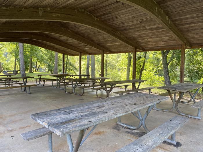
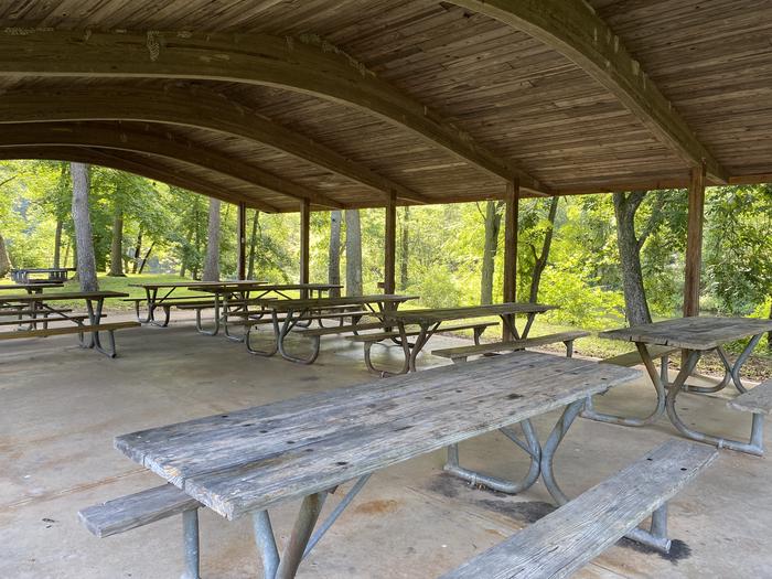
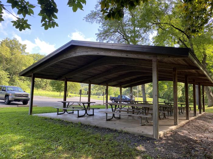
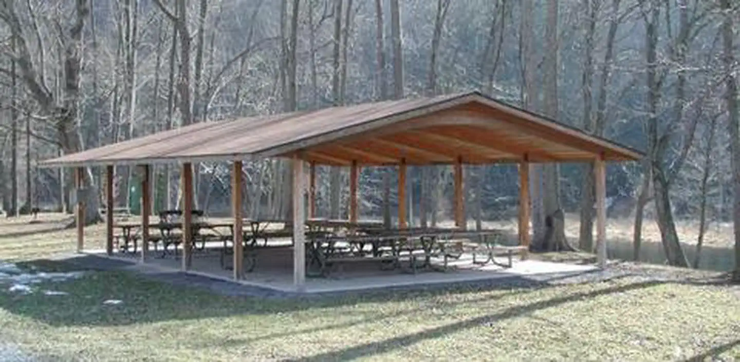
Overview Corbin's Island Recreation Area is located at the northern end of Raystown Lake, just downstream from the Raystown Dam. The recreation area is easily accessible from US Route 22 and offers a great location for picnicking, fishing, and floating down the river. Recreation Raystown Dam, Ridenour Overlook and Hawn's Overlook are three beautiful overlook areas that are within a 10 minute drive from Corbin's Island. A boat ramp within the facility provides access for small fishing boats, kayaks, canoes and tubes. Facilities Corbin's Island offers one group shelter with approximately 10 tables and 20-amp electrical service. It is fully accessible and comfortably accommodates up to 80 people in a lovely river setting. Natural Features Corbin's Island is situated along the shady banks of the Raystown Branch of the Juniata River. Nearby access to the cool, flowing waters of the Raystown Branch makes this shelter a great place to picnic, fish and float the river all in one day. Nearby Attractions The area offers Snyder's Run Boat Launch, Seven Points Recreation Area, Seven Points Marina and access to downtown Huntingdon.
From the managing agency.
Is Corbin's Island Picnic Shelter free?
We do not have a fee on record for Corbin's Island Picnic Shelter. Confirm the cost locally before you go.
How do I get to Corbin's Island Picnic Shelter?
Corbin's Island Picnic Shelter is at 40.4292, -77.9907. We do not hold written directions for this one, so navigate to the coordinates.
Nearby
- SUSQUEHANNOCK4.3 mi
- SEVEN POINTS (PA)5.6 mi
- Aitch Picnic Shelter9.8 mi
- NANCY'S BOAT TO SHORE CAMPGROUND (PA)9.9 mi
- Tatman Run Picnic Shelter12.6 mi
- Seven Points Picnic Shelters14.4 mi
- Weaver Falls Shelter18.1 mi
No other services within 50 mi on the record.
SourceSource data is agency published. Last synced September 19, 2026. Community reports and photos are submitted by travelers and are not verified by the agency.
