
Whittaker Creek Recreation Site
BLM · Campground · Fee
Fast facts
- Cost
- Fee charged
- Managed by
- BLM
- Type
- Campground
- Coordinates
- 43.9855, -123.6622
- Last verified
- September 19, 2026
About this place
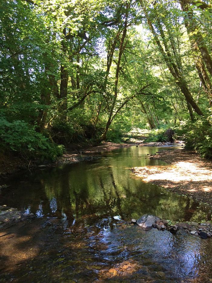
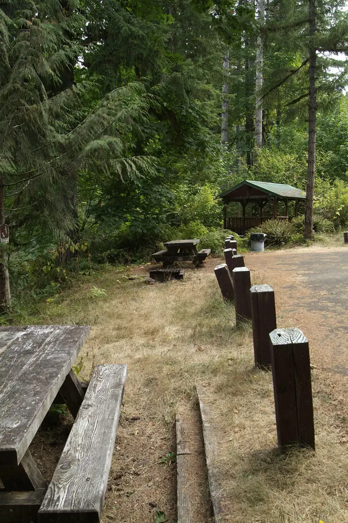
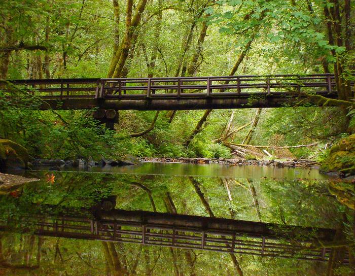
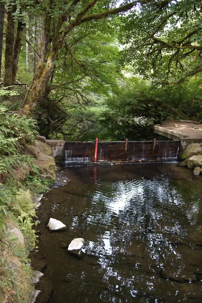
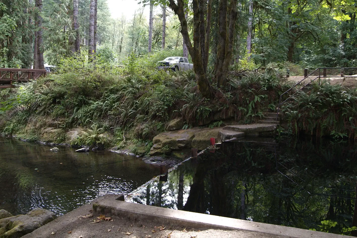
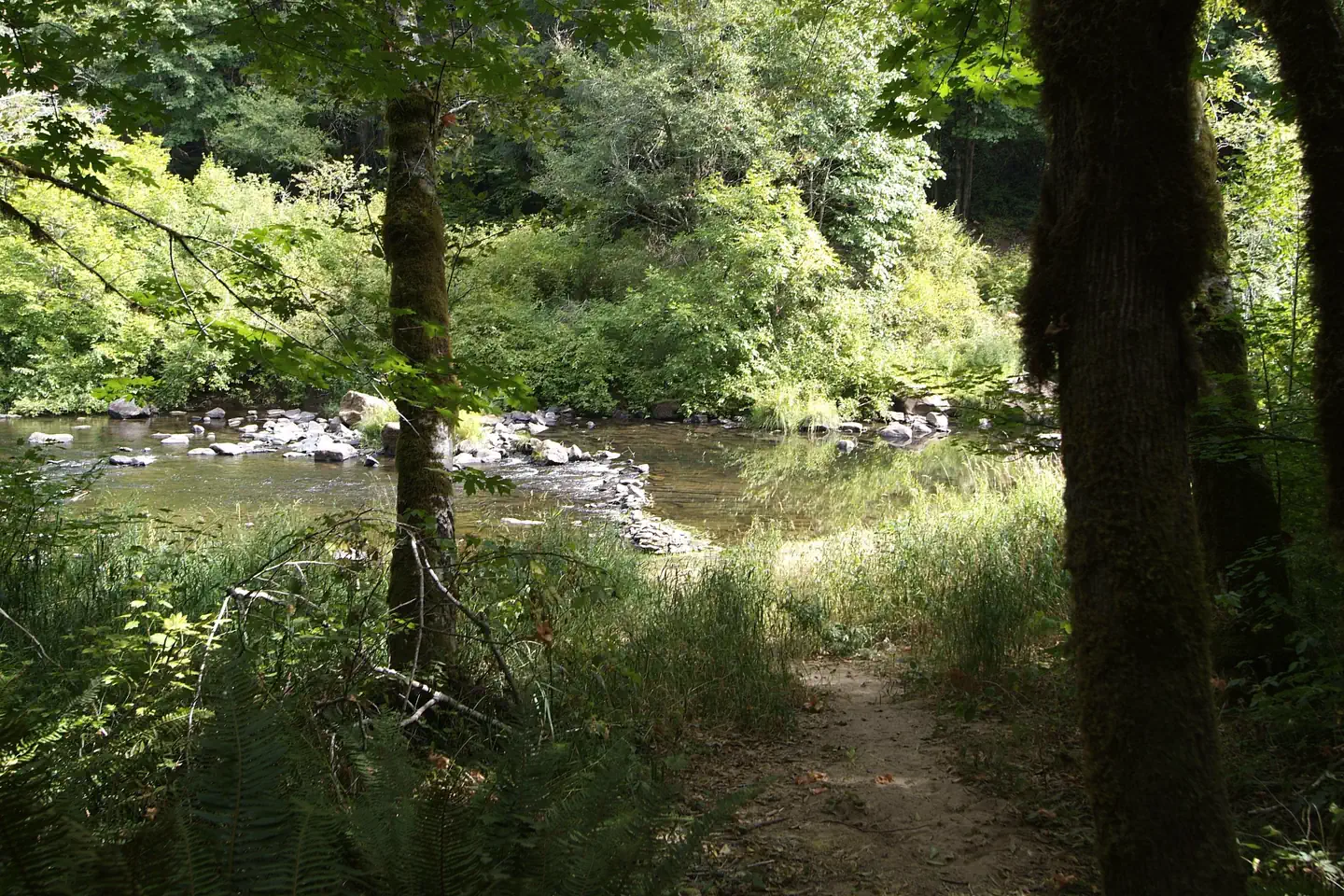
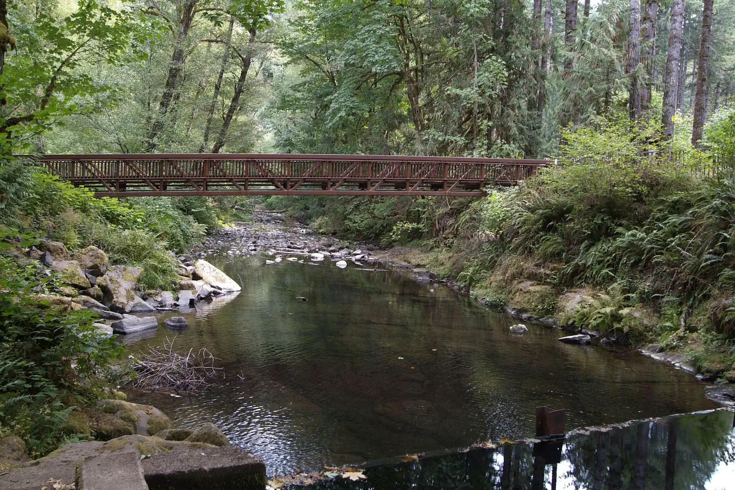
Overview Overnight camping is closed until further notice. Day-use recreation areas remain open for public use. Reserve a site at Whittaker Creek on recreation.gov or pay when you arrive for non-reserved campsites using the Recreation.gov Mobile App . You must download before you reach the site since there is no cell reception in the drainage. Whittaker Creek Recreation Site is a Bureau of Land Management (BLM) campground and day use area. The campground has 30 sites. Campground amenities include vault toilets, potable water, picnic areas, a children's play area, an Old Growth Ridge National Recreation Trail (2.5 miles), and a swimming area. In the fall, winter, and spring, busloads of middle school students visit the Whittaker Creek Watchable Wildlife Site to learn about spawning salmon and trout and to assist with the Oregon Department of Fish and Wildlife's breeding program. Recreation Camping, hiking, swimming, fishing in Siuslaw River, photography, hunting, Salmon Watch, and nature study. Facilities Facilities include: 30 tent only campsites (not recommended for trailers), an accessible campsite, 2 picnic sites, accessible vault toilets, potable water available from hand pumps, picnic tables, fire rings, swimming beach area (June-September), horseshoe pit, Old Growth Ridge National Recreation Trail (2.5 mile loop trail), and a camp host (June-September). Electricity and firewood are unavailable. Natural Features Besides the trail to the wildlife viewing area, you can hike the Old Growth Ridge National Recreation Trail, which climbs 1,000 feet above the river into the Coast Range. The 2.5-mile trail was designated in 1994 as a National Recreation Trail due to the exceptional wildlife, geologic features, and old growth trees that are typical of coast range ecosystems. This moderately difficult trail winds through a stand of old growth Douglas fir and offers a look at geologic and botanical features unique to the area. Chinook and coho salmon, as well as steelhead trout can be observed in the fall and winter months in the creek next to the campground. The site also features a paved boat ramp that provides drift boat and canoe access to the Siuslaw River. No permit required to paddle the 6.5-mile river, with Class II - III rapids. Contact Info For local information, please call (541) 683-6600 or call (503) 375-5646 for general information. Nearby Attractions Clay Creek Campground , is approximately 16 miles past Whittaker Creek. The Oregon Coast is less than 30 miles from this recreation site. (Florence) Alder Dune Campground (Florence) Archie Knowles Campground (Florence) B & E Wayside Mobile and RV Park (Cottage Grove) Baker Bay Campground (Dorena) Baker Bay County Park (Westfir) Bedrock Camp You can observe Chinook, and Coho salmon, as well as steelhead trout in the fall and winter months in the creek next to the campground during Salmon Watch. Charges & Cancellations Standard fees apply and are non-refundable. Visit https://www.recreation.gov/rules-reservation-policies for more information.
From the BLM.Official page
Is Whittaker Creek Recreation Site free?
No. Whittaker Creek Recreation Site charges a fee. It is managed by the BLM.
How do I get to Whittaker Creek Recreation Site?
Whittaker Creek Recreation Site is at 43.9855, -123.6622. We do not hold written directions for this one, so navigate to the coordinates.
Nearby
- Whittaker Creek Campground0.0 mi
- Whittaker Creek Campground0.0 mi
- Whittaker Creek Campground0.0 mi
- Whittaker Creek Campground0.0 mi
- Whittaker Creek Campground0.0 mi
- Whittaker Creek Campground0.1 mi
- Whittaker Creek Campground0.1 mi
- Whittaker Creek Campground0.1 mi
No other services within 50 mi on the record.
SourceData from the BLM. Last synced September 19, 2026. Community reports and photos are submitted by travelers and are not verified by the agency.
