
WHITEFISH HORSE CAMP
Campground · Fee not listed
Fast facts
- Cost
- Not listed. Check locally.
- Type
- Campground
- Phone
- 541-323-1746
- Nearest dump station
- Aspen Point Dump Station · 75.2 mi
- Coordinates
- 43.4656, -122.0314
- Last verified
- September 19, 2026
About this place
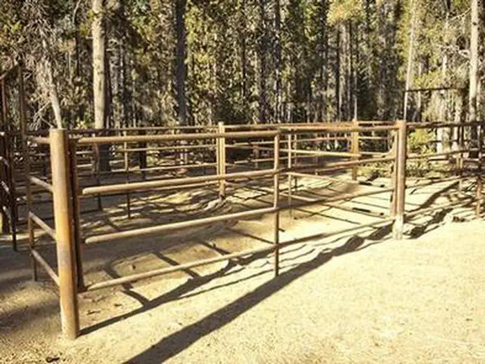
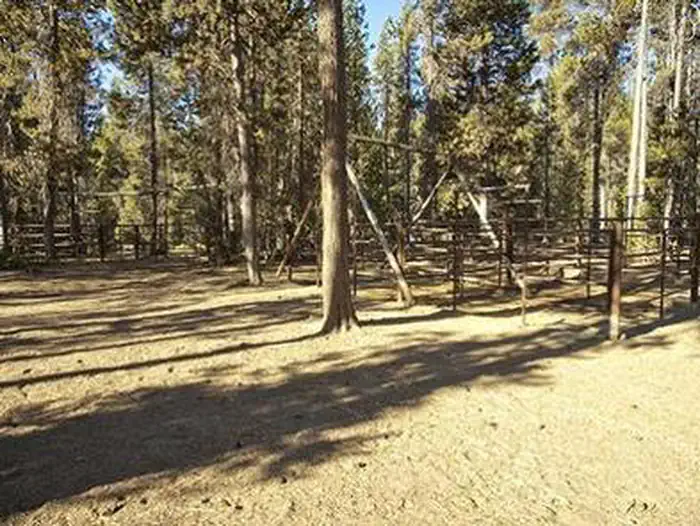
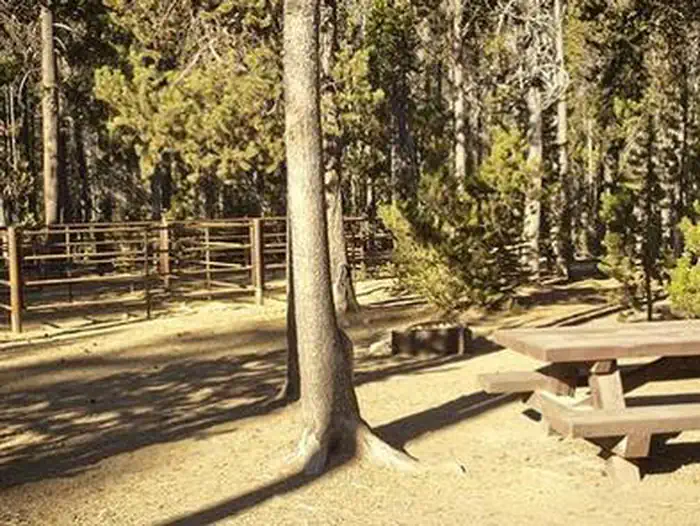
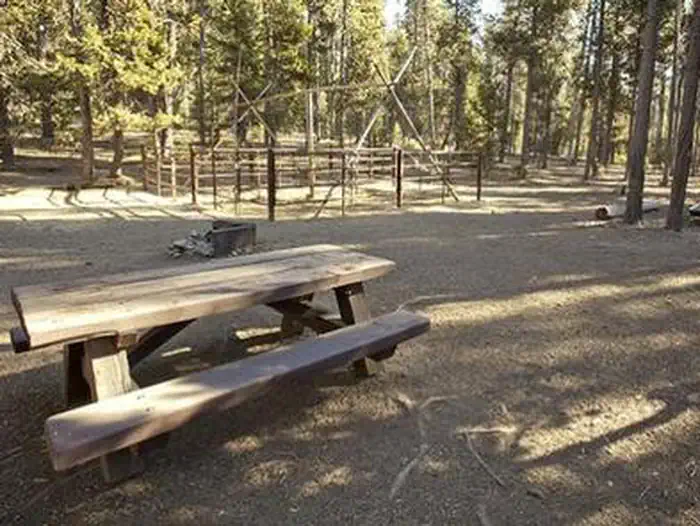
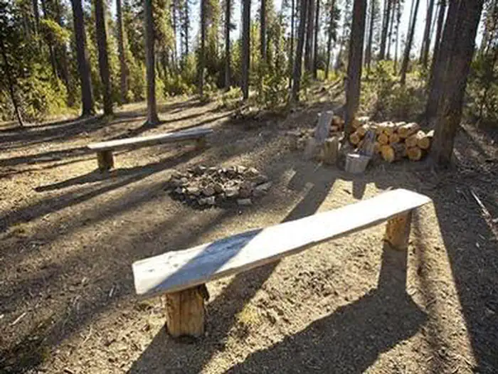
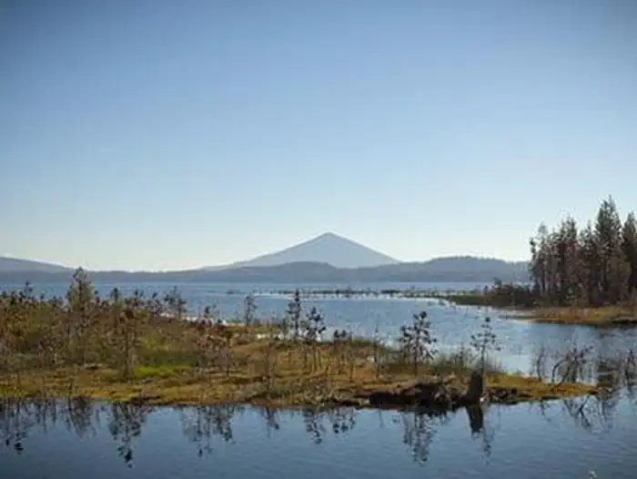
Overview In Deschutes National Forest, Whitefish Horse Campground offers visitors some of the most stunning scenery in central Oregon and easy access to an abundance of recreational activities in the Cascade region. A favorite among horse enthusiasts, the campground looks out onto the waters of Crescent Lake. With snow-capped peaks, high elevation lakes, scenic rivers, and several wilderness areas located nearby, this campground offers visitors the opportunity to experience both the serene and wild aspects of central Oregon. Recreation A favorite among horse enthusiasts, the campground provides visitors with access to a variety of trails. Lakes, lava flows, and forested areas provide the backdrop for many of these rides. Whitefish Creel Trail is popular with both hikers and horseback riders. This trail can be accessed from the west end of Crescent Lake and follows Whitefish Creek up through lodgepole pines to a beautiful view of Diamond Peak at Diamond View Lake. From there, the trail descends along Trapper Creek through Engelmann spruce and white fir to the west end of Odell Lake. Equestrians may want to traverse at least a portion of the spectacular Pacific Crest Trail (PCT), one of America's premier National Scenic Trails. This trail showcases some of North America's most fantastic scenery, winding its way its way from Mexico to Canada through California, Oregon and Washington. Portions of the trail traverse Diamond Peak at timberline. Wilderness passes are required for this trail. Facilities The campground has 17 large equestrian sites, each equipped with double or quadruple metal corrals. Sites 008, 013 and 018 have four horse stalls, while all the others have two horse stalls. Picnic tables, campfire rings/grills, and ample room for parking vehicles and trailers are available at each site. Drinking water is also available, as is access to vault toilets. Horse campgrounds have been designed to accommodate people who need to corral their horses. With a limited number of these kinds of campgrounds, please consider camping in one of the many other campgrounds nearby if you do not have a horse. This horse camp is open usually by Memorial Day, or after snow levels recede. It stays open until snow blocks the road, typically around Thanksgiving. However, water and host services may not be provided after early October. Natural Features Cresent Lake is nestled in a naturally glaciated basin behind a moraine dam, east of the towering Cascade Mountain Range. Its brilliant blue-green water, sandy beaches, and water temperature are exceptional for a high-elevation lake. The area provides habitat for mammals such as mule deer, coyote, and cougar. Migratory birds and native fish also call the area home. These species, along with many others, depend on surrounding undeveloped wilderness, clean streams, and diverse forests to live. Nearby Attractions Visitors can explore wilderness areas, wild and scenic rivers, lakes and reservoirs, and approximately 1,600 miles of trails in the 2.5 million-acre Deschutes National Forest and adjacent Ochoco National Forest. Lava Lands Visitor Center in Bend, Oregon, is a great starting point for visitors to learn about the diverse landscape and history of the area through interpretive programs and exhibits. Visitors may also enjoy traveling the Cascade Lakes Scenic Byway. The 66-mile drive through the Cascade Mountain range, weaves through snow-capped peaks and alpine lakes, highlighting the beauty of central Oregon. Charges & Cancellations Once your reservation start date has begun, neither the Recreation.gov Contact Center nor the campground manager will be able to modify your reservation.
From the managing agency.
Is WHITEFISH HORSE CAMP free?
We do not have a fee on record for WHITEFISH HORSE CAMP. Confirm the cost locally before you go.
How do I get to WHITEFISH HORSE CAMP?
WHITEFISH HORSE CAMP is at 43.4656, -122.0314. We do not hold written directions for this one, so navigate to the coordinates.
Nearby
SourceSource data is agency published. Last synced September 19, 2026. Community reports and photos are submitted by travelers and are not verified by the agency.
