
TOKETEE GROUP SITE
Campground · Fee not listed
Fast facts
- Cost
- Not listed. Check locally.
- Type
- Campground
- Phone
- 541-498-2531
- Nearest dump station
- Aspen Point Dump Station · 62.2 mi
- Coordinates
- 43.2732, -122.4085
- Last verified
- September 19, 2026
About this place
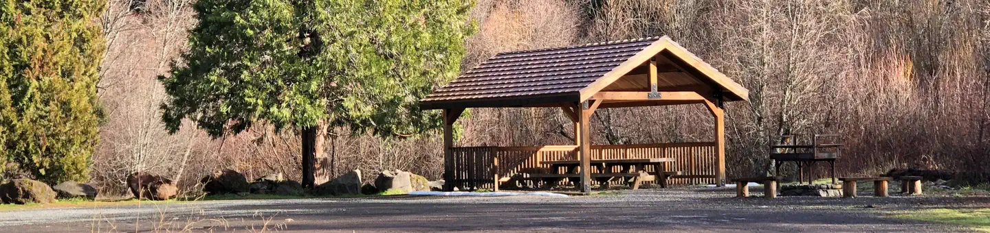
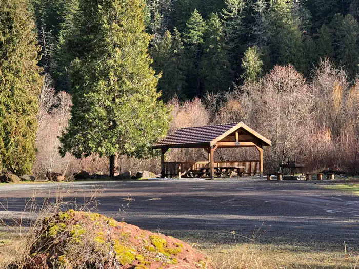
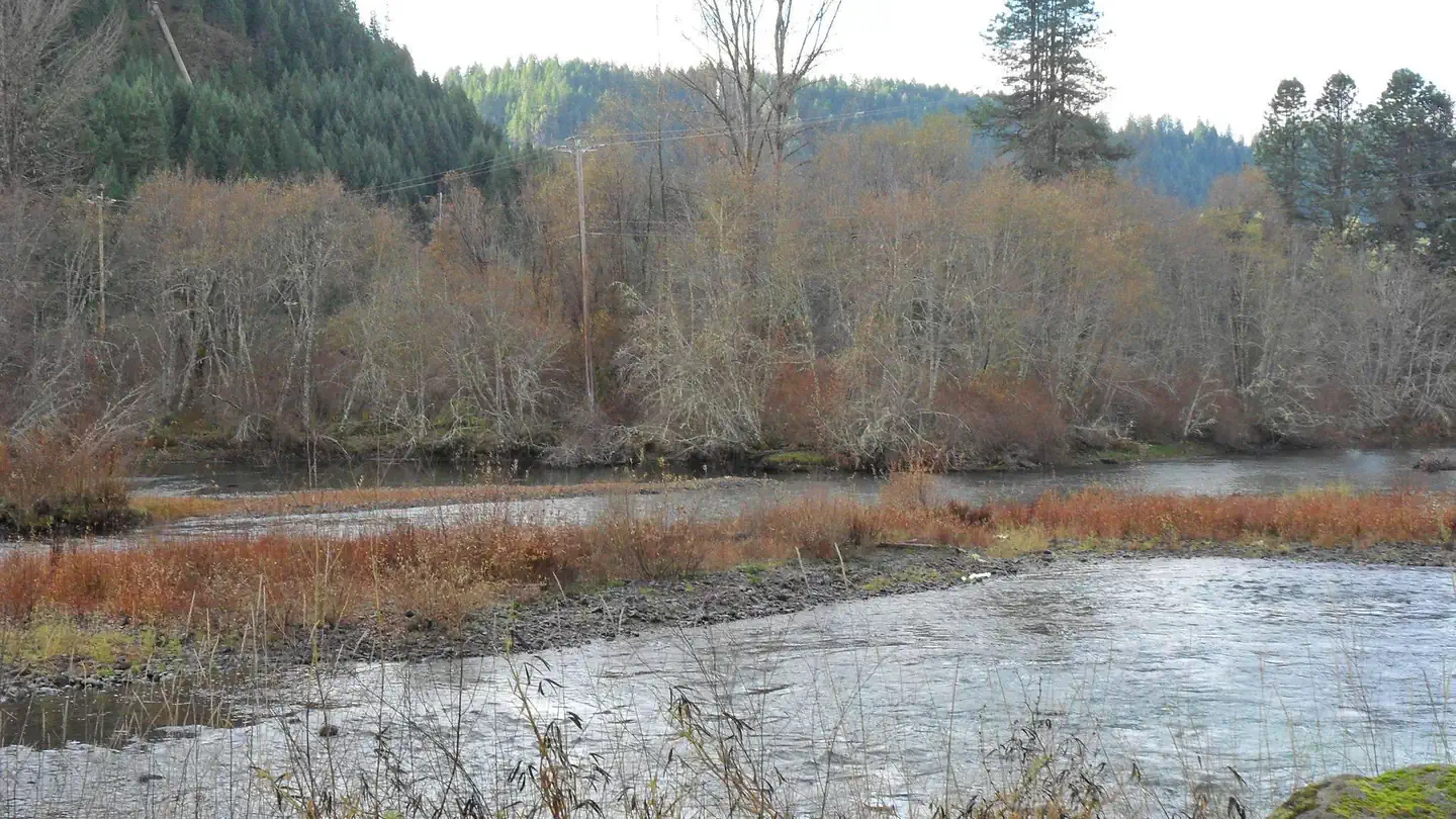
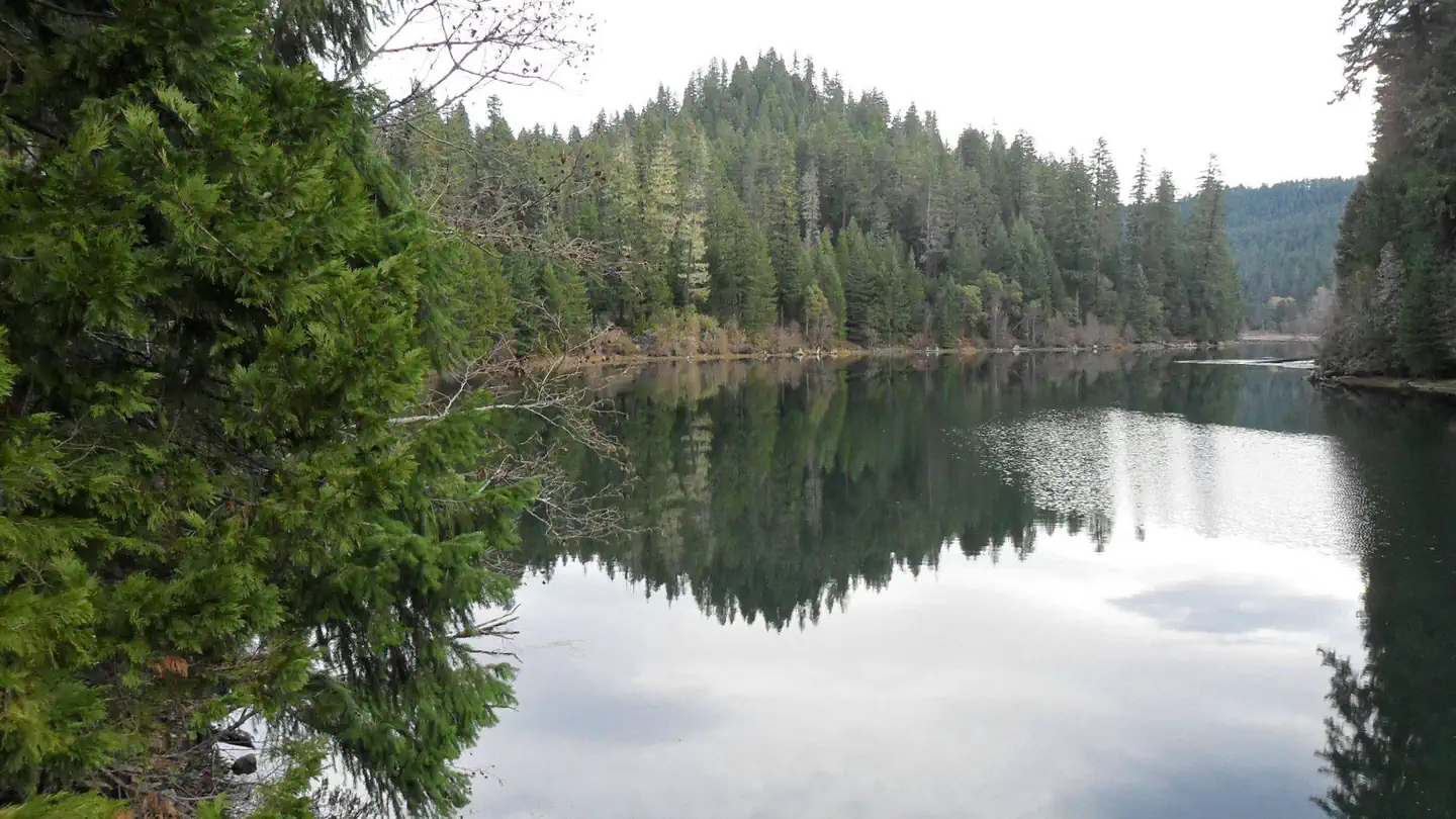
Overview The North Umpqua Wild and Scenic River pauses at Toketee reservoir providing a secure home for a wide variety of wildlife. Here beaver and otter make their homes. Visitors are sometimes treated to seeing and hearing the beaver's tail slaps. Great blue heron and kingfishers are joined in fall and winter by ducks, geese, and bald eagles. Recreation Many people enjoy some of the state’s best German Brown trout fishing. Due to ongoing dam repair Toketee Lake is 2-3 feet lower than the boat ramp, so small non-powered boats are best. Toketee group site is located next to one of the trailheads for the famous North Umpqua Trail. This trail is a favorite for hikers, bikers, and horseback riders. Facilities Toketee group site offers a small pavilion with two tables and a large grill. Next to the pavilion is a large, open grass area for tent camping. Parking for the site doubles as the RV campsites. This area’s surface is graveled and is big and fairly level. With room for both tent campers and RV campers, this group site is able to accommodate most events. Near the group site is Toketee Campground which has some sites available on a first-come, first served basis. Should your group need more space, this campground may help with those needs. There is no water available at the group site or the Toketee campground. Natural Features This group site offers a picturesque spot for small groups to gather. Lined with willow and mixed with maples and alders, this section of the river is very tranquil. The nearby footbridge offers great views of the river and lake. Nearby Attractions There are two spectacular waterfalls within a five-minute drive of the site. Watson Falls is 272 feet high and has a short trail to the base of the falls. During wetter months, be prepared to get a cool shower of fresh mountain water. Toketee Falls is an amazing two level falls flowing out of a basalt column wall. The viewing platform is less than a half mile down the trail. For faster paced recreation, there is the North Umpqua Trail. This is a very popular trail for mountain biking. Many bikers use Toketee as a base camp for exploring the North Umpqua Trail. Contact Info This location has limited staffing. Please call (760) 932-7092 for general information. Charges & Cancellations Reservation sites will be held until check out time (11am) the day following your arrival date. Sites must be occupied by the checkout time of that following day to hold a reservation or the site will be forfeited and released to other guests. Once your reservation start date has begun, neither the Recreation.gov Contact Center nor the Campground Manager will be able to modify your reservation.
From the managing agency.
Is TOKETEE GROUP SITE free?
We do not have a fee on record for TOKETEE GROUP SITE. Confirm the cost locally before you go.
How do I get to TOKETEE GROUP SITE?
TOKETEE GROUP SITE is at 43.2732, -122.4085. We do not hold written directions for this one, so navigate to the coordinates.
Nearby
SourceSource data is agency published. Last synced September 19, 2026. Community reports and photos are submitted by travelers and are not verified by the agency.
