
SUNSTRIP
Campground · Fee not listed
Fast facts
- Cost
- Not listed. Check locally.
- Type
- Campground
- Phone
- 503-630-5721
- Coordinates
- 45.1523, -122.1071
- Last verified
- September 19, 2026


About this place
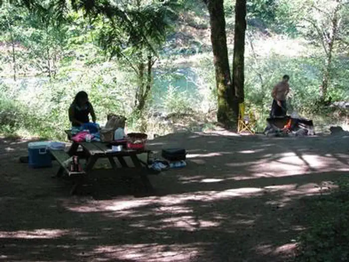
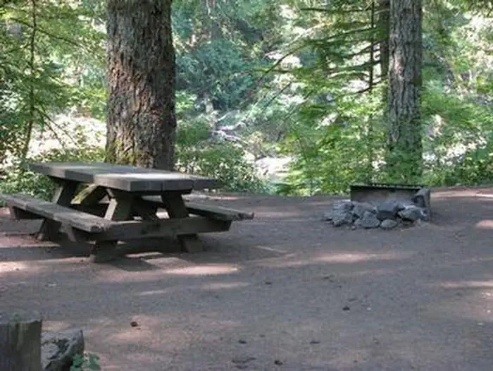
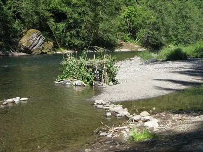
Overview Campground closed due to the 2020 Riverside Wildfire Sunstrip Campground is a primitive campground on the banks of the Clackamas Wild and Scenic River. It provides access to a variety of outdoor activities, but retains the look and feel of true nature, with only a few amenities. Recreation Fishing is very popular in the Clackamas and anglers can expect winter Steelhead, spring Chinook and late summer Kokanee salmon, as well as other species of freshwater fish. Whitewater rafting is also a favorite activity among visitors. The Clackamas River provides miles of wild water as it snakes through the scenic Cascade range. A hiking trail meanders along the riverbank, north and south of the campground. Scenic driving is available on the nearby West Cascades National Scenic Byway, which follows the river. Facilities The campground offers about eight tent-only campsites, half of which are on the waterfront. Each site is equipped with a table and campfire ring with grill. Accessible vault toilets are provided. Drinking water is not available at the campground. Natural Features The campground is nestled in a wooded area of the Mt. Hood National Forest, thick with moss and greenery, at an elevation of about 1,000 feet. The river provides habitat for the federally protected bald eagle and northern spotted owl, as well as the occasional peregrine falcon. A variety of wildlife make its home in the area. Nearby Attractions The Clackamas River, just below nearby Indian Henry Campground to the North Fork Reservoir, provides 12.5 miles of class III-IV whitewater. Outfitters are located in the town of Estacada.
From the managing agency.
Is SUNSTRIP free?
We do not have a fee on record for SUNSTRIP. Confirm the cost locally before you go.
How do I get to SUNSTRIP?
SUNSTRIP is at 45.1523, -122.1071. We do not hold written directions for this one, so navigate to the coordinates.
Nearby
- Sunstrip Campground0.1 mi
- Roaring River Campground0.5 mi
- ROARING RIVER0.5 mi
- Fish Creek Campground/Day Use2.2 mi
- FISH CREEK (OR)2.2 mi
- ARMSTRONG2.3 mi
- Armstrong Campground2.3 mi
- Lockaby Campground2.3 mi
No other services within 50 mi on the record.
SourceSource data is agency published. Last synced September 19, 2026. Community reports and photos are submitted by travelers and are not verified by the agency.
