
STILL CREEK
Campground · Fee not listed
Fast facts
- Cost
- Not listed. Check locally.
- Type
- Campground
- Phone
- 503-630-5721
- Coordinates
- 45.3004, -121.7352
- Last verified
- September 19, 2026
About this place
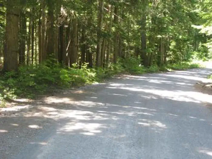
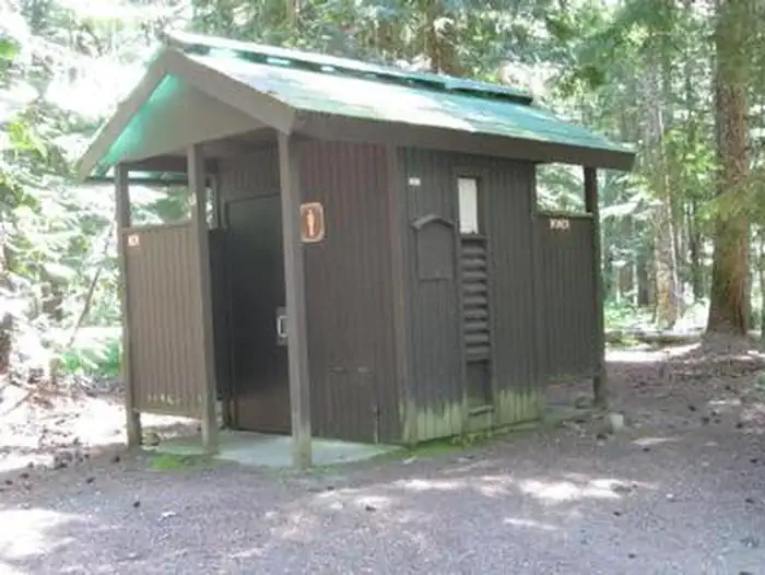
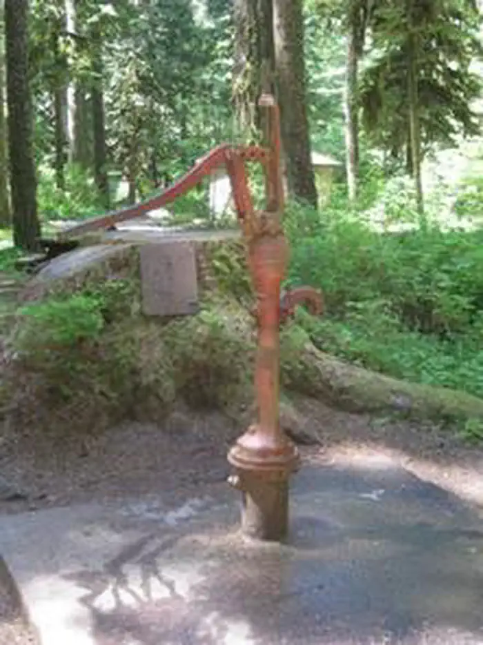
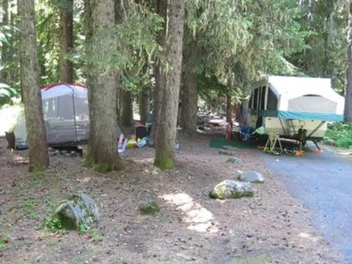
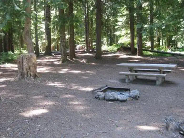
Overview Still Creek Campground lies in the shadows of majestic Mt. Hood, in Oregon's Mt. Hood National Forest. It is one of the closest campgrounds to the mountain, and offers access to a variety of recreational opportunities. The surrounding area contains hiking, mountain biking and horseback riding trails, as well as numerous mountain lakes, rivers and creeks. Recreation A variety of hiking, mountain biking and horseback riding trails can be accessed from the campground, including the historic Barlow Trail. The somewhat primitive, 1-mile trail connects the campground with the town of Government Camp. Fly-fishing is a popular activity on Still Creek. Anglers can expect a variety of trout and occasional whitefish and salmon. Facilities The campground offers more than two dozen single-family sites for tent and RV camping. Utility hookups are not provided and parking surfaces are an assortment of dirt, gravel and paved. Water disposal sites are scattered throughout the campground. Sites are equipped with tables and campfire rings with grills. Accessible vault toilets and drinking water are provided. Firewood is available for purchase at or near the campground. Natural Features The campground sits on the banks of Still Creek just south Mt. Hood at an elevation of about 3,700 feet. It is surrounded by a lush forest of mixed conifers, including cedar, pine and fir trees. A dense understory of shrubs makes for ample privacy between sites. The creek can be heard throughout the campground. Nearby Attractions A fork on Forest Road 1825 that accesses the campground will lead to the trailhead for spectacular Ramona Falls on the Sandy River. The 7.1-mile, moderately difficult trail leads to cascading waterfalls and is one of the most popular hikes in the Mt. Hood National Forest. Timberline Lodge, a National Historic Landmark on Mt. Hood, is located within seven miles of Still Creek Campground. Sightseeing and a variety of recreational opportunities are available. The area is a popular snow sports playground for most of the year.
From the managing agency.
Is STILL CREEK free?
We do not have a fee on record for STILL CREEK. Confirm the cost locally before you go.
How do I get to STILL CREEK?
STILL CREEK is at 45.3004, -121.7352. We do not hold written directions for this one, so navigate to the coordinates.
Nearby
- Still Creek Campground0.0 mi
- TRILLIUM2.1 mi
- Trillium Lake Campground2.1 mi
- Alpine Campground2.1 mi
- FROG LAKE5.6 mi
- Frog Lake Campground5.7 mi
- CAMP CREEK6.4 mi
- Camp Creek Campground6.4 mi
No other services within 50 mi on the record.
SourceSource data is agency published. Last synced September 19, 2026. Community reports and photos are submitted by travelers and are not verified by the agency.
