
SOUTH SHORE PAVILION
Campground · Fee not listed
Fast facts
- Cost
- Not listed. Check locally.
- Type
- Campground
- Phone
- 541-498-2531
- Nearest dump station
- Aspen Point Dump Station · 52.1 mi
- Coordinates
- 43.1368, -122.1418
- Last verified
- September 19, 2026


About this place
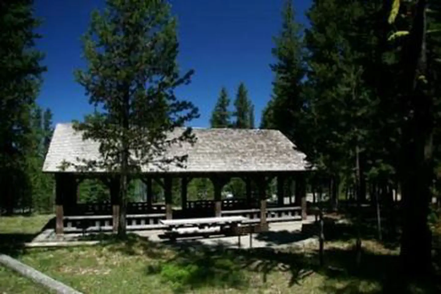
Overview South Shore Pavilion is located on Diamond Lake in the Umpqua National Forest, 85 miles east of Roseburg. The pavilion sits back from the shore in a towering lodgepole pine forest at an elevation of 5,183 feet. The area provides a perfect setting for family reunions and weddings, with its picturesque views of Mount Bailey and Mount Thielsen. Recreation Hiking, biking, fishing and boating are popular summer and fall activities. In winter, visitors can take advantage of skiing, snowshoeing and snowmobiling opportunities. Diamond Lake offers a scenic backdrop for swimmers braving its cold, refreshing waters, and anglers casting a lines from boat or shoreline. Rainbow trout thrive in the lake, as it is stocked annually with over 300,000 fingerlings. A boat ramp is on-site. The lake has a 10-mph speed limit. Bicyclists enjoy riding on the 11 miles of paved trail around the lake, while hikers can head out for the day on one of many trails leaving from the area. Groups will enjoy throwing horseshoes, or playing a game of volleyball in courts near the pavilion. Facilities The populare day use only South Shore Pavilion is accessible and can accommodate 60 people. It is equipped with electricity, picnic tables and a large grill. Flush toilets and drinking water are provided. Fuel, groceries, laundry facilities and boat and bike rentals are available about 2.5 miles away at a nearby resort. Natural Features Umpqua National Forest visitors are often taken aback by unique and surprising landscapes shaped by explosive geologic events. The 984,602-acre forest provides spectacular scenery and an abundance of natural and cultural resources. The translation of the word, "Umpqua," meaning "thundering waters," defines the area. High mountain lakes, heart-stopping rapids, peaceful ponds and thundering waterfalls, including the 272-foot Watson Falls on the North Umpqua Highway, offer visitors a renewed sense of spirit. Diverse ecosystems support a wide range of habitat for wildlife. From eagles and owls to salamanders and salmon, these species, along with many others, depend on surrounding undeveloped wilderness, clean streams and diverse forests to live. Nearby Attractions Crater Lake National Park's north entrance is just 9 miles south of Diamond Lake. No place else on earth combines a deep, pure lake so blue in color, surrounded by 2,000' sheer cliffs. Two picturesque islands dot the lake, which was formed by a violent volcanic past. The park offers an outstanding outdoor laboratory and classroom, hiking trails and scenic overlooks. Experience 172 miles of diverse river and mountain landscapes along the Rogue-Umpqua National Scenic Byway. Travel from rolling oak-covered hills and towering coniferous forests, to roaring whitewater rapids and ancient lava flows. The highway travels alongside the Upper Rogue and North Umpqua Wild and Scenic Rivers that contain world-class fisheries. Hikers may want to traverse a portion of the spectacular Pacific Crest Trail (PCT), one of the world's premier National Scenic Trails. This trail showcases some of North America's most fantastic scenery as it winds its way from Mexico to Canada through California, Oregon and Washington.
From the managing agency.
Is SOUTH SHORE PAVILION free?
We do not have a fee on record for SOUTH SHORE PAVILION. Confirm the cost locally before you go.
How do I get to SOUTH SHORE PAVILION?
SOUTH SHORE PAVILION is at 43.1368, -122.1418. We do not hold written directions for this one, so navigate to the coordinates.
Nearby
SourceSource data is agency published. Last synced September 19, 2026. Community reports and photos are submitted by travelers and are not verified by the agency.
