
Sharps Creek Recreation Site
BLM · Campground · Fee
Fast facts
- Cost
- Fee charged
- Managed by
- BLM
- Type
- Campground
- Phone
- 503-375-5646
- Nearest dump station
- Aspen Point Dump Station · 93.5 mi
- Coordinates
- 43.6659, -122.8073
- Last verified
- September 19, 2026
About this place
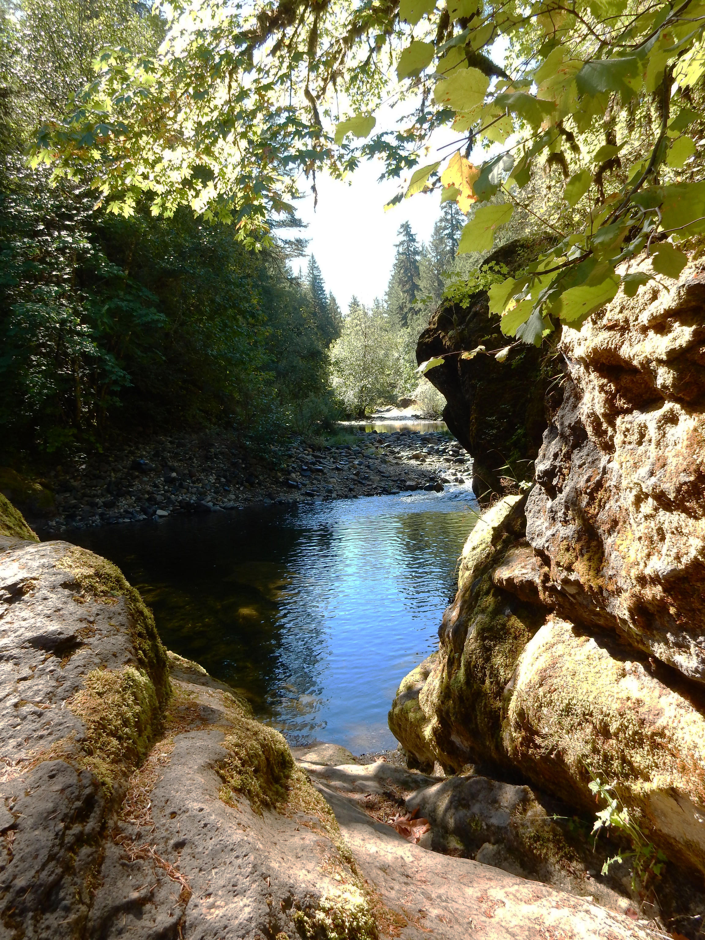
Overview Payment is done via Electronic Fee machine on site ONLY. NO CASH PAYMENTS ACCEPTED ON SITE Reserve a site at Sharps Creek on recreation.gov or pay when you arrive for non-reserved campsites using the Recreation.gov Mobile App. You must download before you reach the site since there is no cell reception in the drainage. Step off the beaten path and explore a delightful gem nestled in the foothills of the Cascade Mountains with ties to the historic Bohemia Mining District, 18 miles southeast of Cottage Grove. The site offers a 12-unit campground, day-use picnicking area, and a nearby swimming hole formed naturally among rounded boulders at the base of an overlook extending above Sharps Creek. Cool and delightful waters entice the visitor to swim or simply 'dabble' along the bank while enjoying the surrounding beauty of the forest. For those with a penchant for gold panning, the site offers exciting opportunities to try one's skill and luck! The Springfield Office of the Northwest Oregon District of the Bureau of Land Management manages the Sharps Creek Recreation Site. Recreation Sharps Creek Recreation Site consists of a small, family campground and a day-use area overlooking Sharps Creek. A swimming hole at the base of the overlook provides a refreshing place to cool down on hot, summer days. All swimmers should use caution. Facilities Sharps Creek Campground offers 12 campsites with easy access to the day use swimming area next door. The campground has vault toilets and running water. There is no Cellular Service at the site. Natural Features Sharps Creek campground and the surrounding area are home to large canopy trees such as Douglas fir, western hemlock, red cedar, red alder and big leaf maple. The forest understory features a host of native plants like rhododendron, salal, various fern species, salmonberry and vine maple. On the forest floor, oxalis, Calypso orchids and mosses compliment the scenery. A diverse variety of bird life, from the seldom seen pileated woodpecker, northern spotted owl and marbled murrelet to the ever-present Oregon junco, frequent this area. Signs of larger animals, such as raccoon, mink, bear, elk, deer and beaver are evident. Nearby Attractions The Row River National Recreation Trail / Covered Bridges State Scenic Bikeway is located less than 4 miles northwest of Sharps Creek Recreation Site. Dorena Lake City of Cottage Grove Charges & Cancellations Standard fees apply and are non-refundable. Visit https://www.recreation.gov/rules-reservation-policies for more information.
From the BLM.Official page
Is Sharps Creek Recreation Site free?
No. Sharps Creek Recreation Site charges a fee. It is managed by the BLM.
How do I get to Sharps Creek Recreation Site?
Sharps Creek Recreation Site is at 43.6659, -122.8073. We do not hold written directions for this one, so navigate to the coordinates.
Nearby
SourceData from the BLM. Last synced September 19, 2026. Community reports and photos are submitted by travelers and are not verified by the agency.
