
RAAB
Campground · Fee not listed
Fast facts
- Cost
- Not listed. Check locally.
- Type
- Campground
- Phone
- 503-630-5721
- Coordinates
- 45.0250, -122.0671
- Last verified
- September 19, 2026
About this place
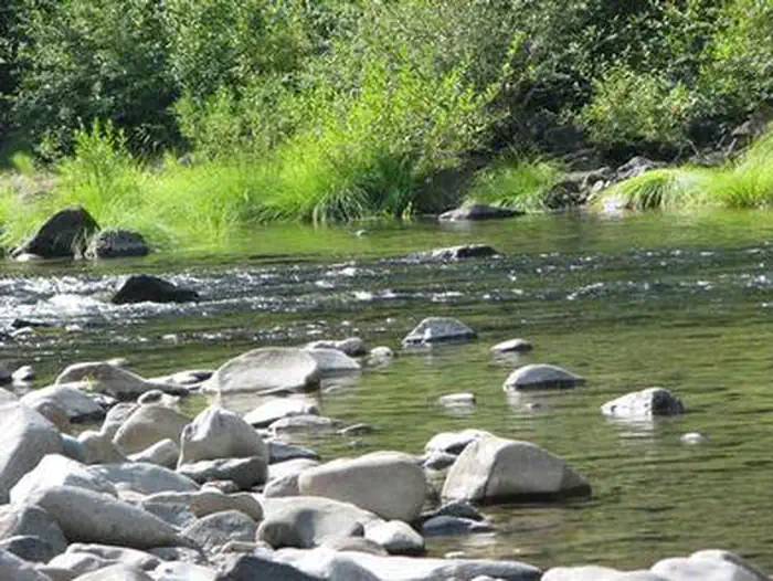
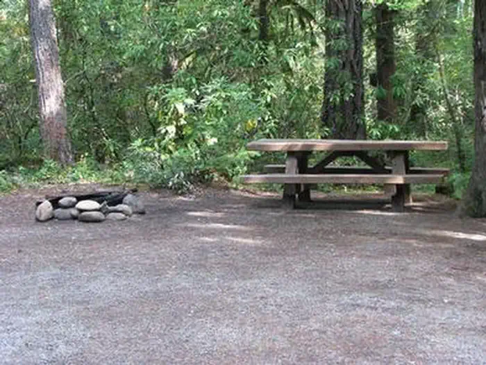
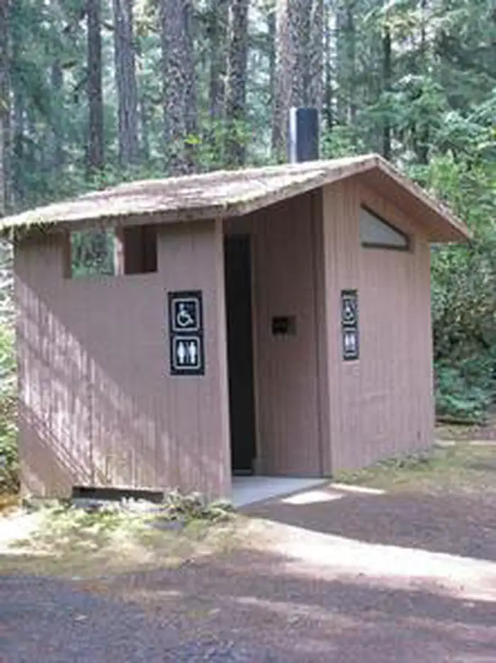
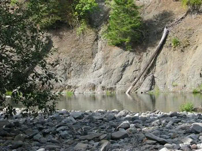
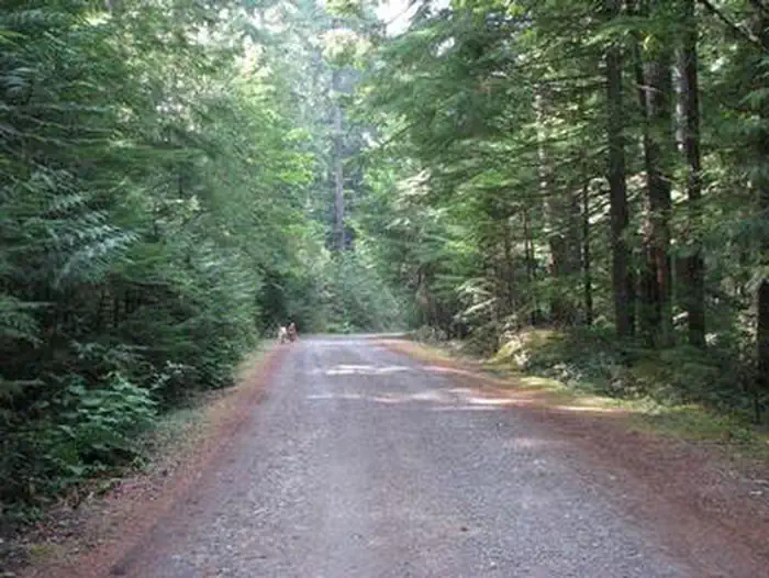
Overview Raab Group Campground is a new group campground for those that are looking for multiple campsites or have large families. It is located on the banks of the Collawash River, which flows into the mighty Clackamas River in the mountains of northern Oregon. Recreational opportunities are not far from the campground, making it the perfect getaway spot. It can comfortably accommodate any outdoorsman, including the hiking enthusiast, the fly fisherman, bicyclist and whitewater rafter, among others who wish to enjoy nature. Recreation Catch and release fishing for trout is allowed on the main fork of the Collawash, but the streams are closed to fishing for salmon and steelhead. Whitewater rafting and kayaking are popular activities. At least one 5-mile stretch of the more than 17-mile river boasts class III-IV whitewater. The Collawash flows into the nearby Clackamas River, which also provides miles of wild water as it snakes through the scenic Cascade Range. Anglers enjoy fishing the Clackamas for steelhead, Kokanee and Chinook salmon. The river provides a perfect habitat for the federally protected bald eagle and northern spotted owl, as well as an occasional peregrine falcon. A variety of other wildlife makes its home in the area. Visitors enjoy hiking in the Bull of the Woods Wilderness, which is south of the campground. Several primitive forest roads nearby are open to mountain biking. West Cascades Scenic Byway runs just outside the campground, meandering along the Wild and Scenic Clackamas River. Facilities The campground offers six group campsites for tent and RV camping. Large RVs, however, might have a hard time negotiating tight turns within the campground .The sites are limited to no more than four RV�s per RV group. Utility hookups are not available and parking surfaces are mostly gravel and mossy. The group sites can accommodate between 30 to 60 people. Picnic tables and campfire rings with grills are provided, as are accessible vault toilets. Drinking water is not available. Firewood & water is available for purchase at the camp store. Natural Features The campground is located southeast of the city of Estacada, on the Collawash River at an elevation of about 1,500 feet. It lies in a dense forest of old-growth Douglas fir trees and plentiful rhododendron bushes that provide privacy between campsites. Nearby Attractions Bagby Hot Springs is located about 10 miles southwest of the campground. A popular site for soaking and relaxing, the springs are in a heavily wooded area in the scenic Cascade Range. A historic guard station was built there in 1913 and the available bathhouses are fed by three major hot springs and several minor outlets in the area.
From the managing agency.
Is RAAB free?
We do not have a fee on record for RAAB. Confirm the cost locally before you go.
How do I get to RAAB?
RAAB is at 45.0250, -122.0671. We do not hold written directions for this one, so navigate to the coordinates.
Nearby
- Raab Campground0.0 mi
- Riverford Campground0.7 mi
- Riverside Campground1.3 mi
- Riverside (Mt. Hood National Forest, OR)2.3 mi
- Kingfisher Campground3.5 mi
- KINGFISHER3.5 mi
- Rainbow Campground3.9 mi
- RAINBOW (OR)3.9 mi
No other services within 50 mi on the record.
SourceSource data is agency published. Last synced September 19, 2026. Community reports and photos are submitted by travelers and are not verified by the agency.
