
PACKARD CREEK
Campground · Fee not listed
Fast facts
- Cost
- Not listed. Check locally.
- Type
- Campground
- Phone
- 801-226-3564
- Nearest dump station
- Aspen Point Dump Station · 91.5 mi
- Coordinates
- 43.6997, -122.4317
- Last verified
- September 19, 2026
About this place
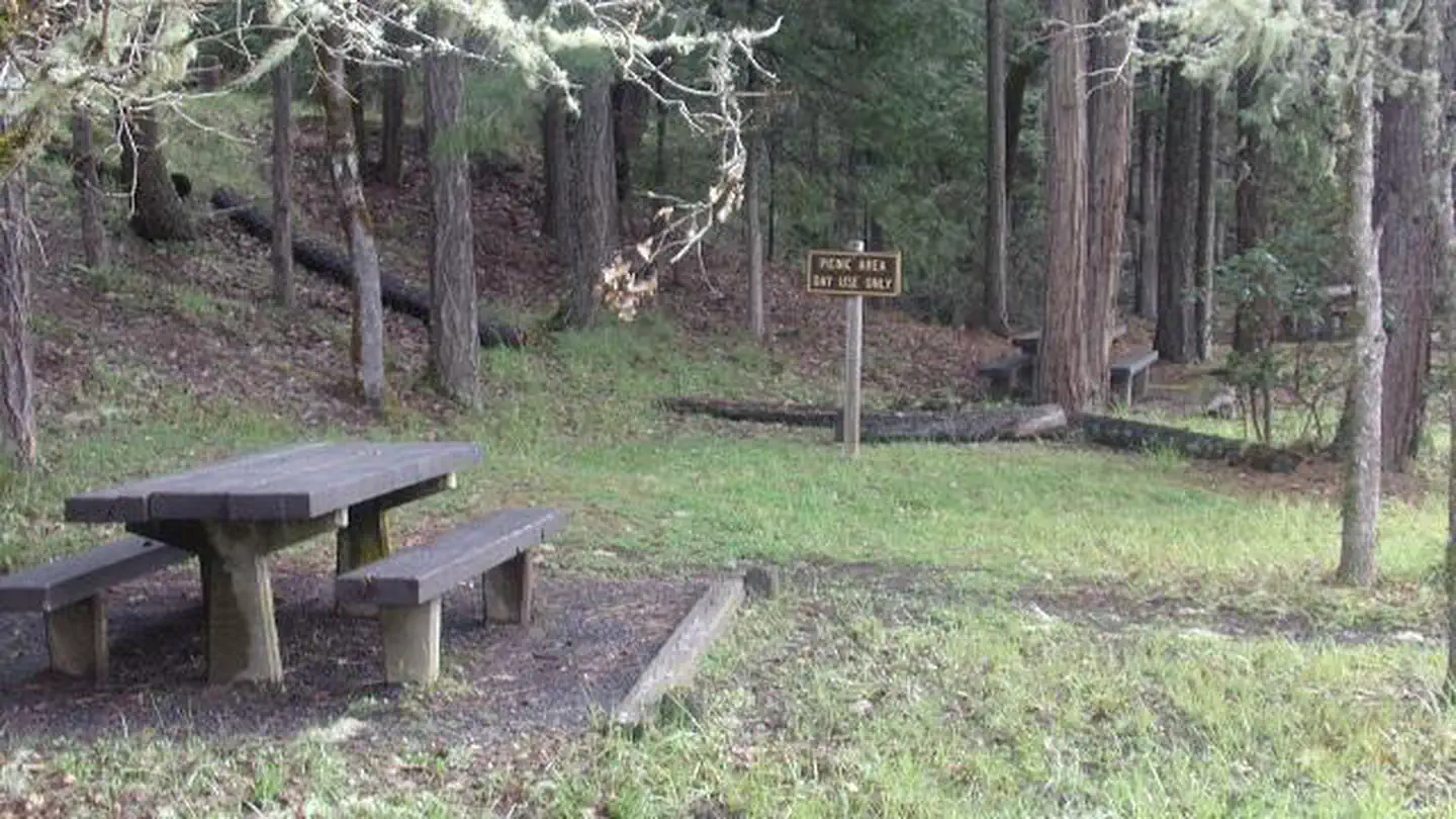
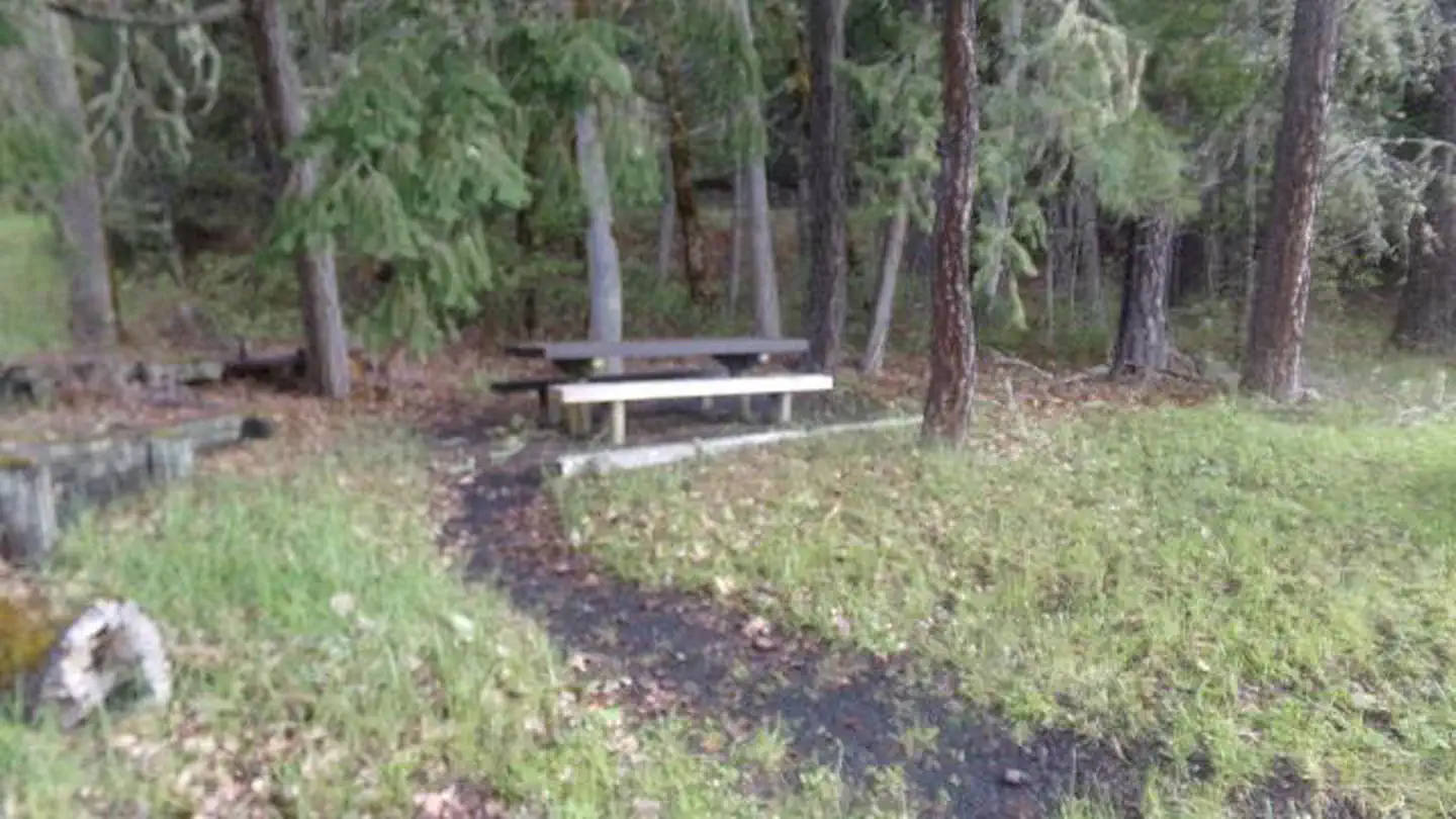
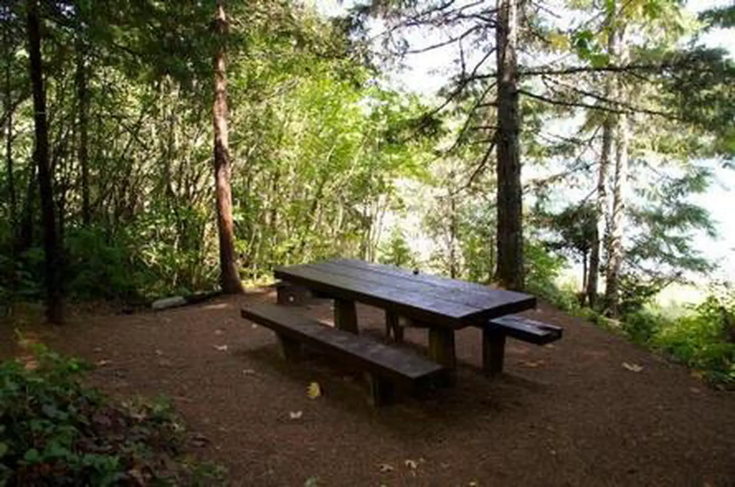
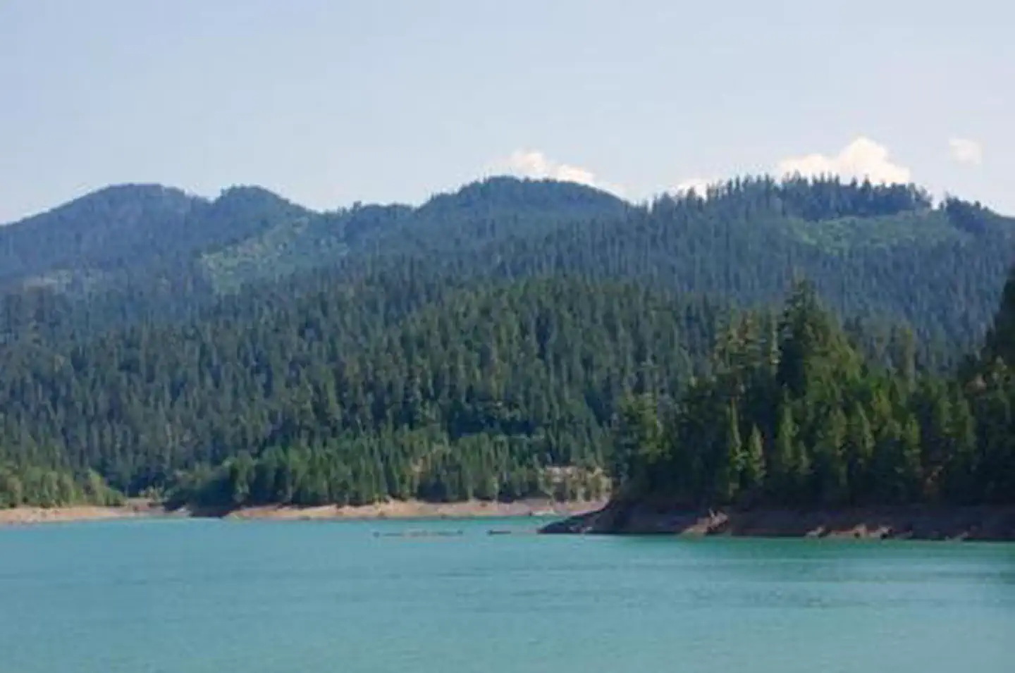
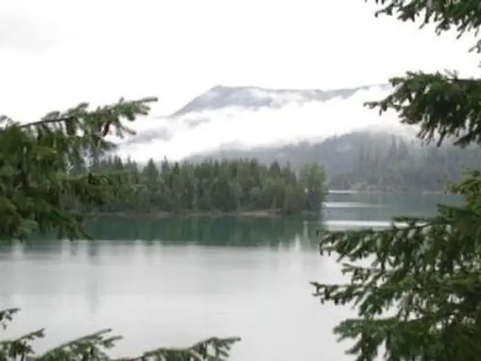
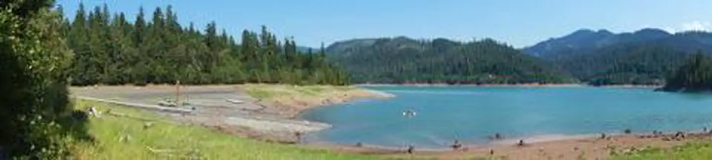
Overview Packard Creek is a popular campground on the western side of Hills Creek Reservoir. The family-friendly destination offers a picturesque setting among tall trees, with views of the lake beyond. Most of the campground is accessible. Recreation Larison Creek Trail is excellent for mountain biking, horseback riding and hiking. It meanders along Larison Cove and Larison Creek, through lush vegetation of hemlock, Douglas fir and red cedar. Visitors also enjoy boating, swimming and fishing. Anglers often catch catfish, blue gill, crappie and coho salmon. A fishing dock, swimming area and boat ramp can be found in the day use area. Facilities There are 36 standard campsites, 14 are reservable. Each campsite is equipped with a picnic table and a campfire ring. There is also a reservable group campground, which accommodates up to 80 people, has a large picnic shelter and open space for tents. Some sites have individual boat docks as well. Natural Features The campground is situated on a large flat beside Hills Creek Reservoir. The lake, hugged by a diverse mix of vegetation, covers 2,735 acres with 44 miles of shoreline in Willamette National Forest. Nearby Attractions The campground is near Oakridge, Oregon, once a railroad boomtown at the turn of the 20th century. Other noteworthy places include many hot springs found within the forest.
From the managing agency.
Is PACKARD CREEK free?
We do not have a fee on record for PACKARD CREEK . Confirm the cost locally before you go.
How do I get to PACKARD CREEK ?
PACKARD CREEK is at 43.6997, -122.4317. We do not hold written directions for this one, so navigate to the coordinates.
Nearby
SourceSource data is agency published. Last synced September 19, 2026. Community reports and photos are submitted by travelers and are not verified by the agency.
