
NORTH FORK CAMPGROUND (OR)
Campground · Fee not listed
Fast facts
- Cost
- Not listed. Check locally.
- Type
- Campground
- Phone
- 541-560-3900
- Nearest dump station
- Aspen Point Dump Station · 7.7 mi
- Coordinates
- 42.3775, -122.3606
- Last verified
- September 19, 2026
About this place
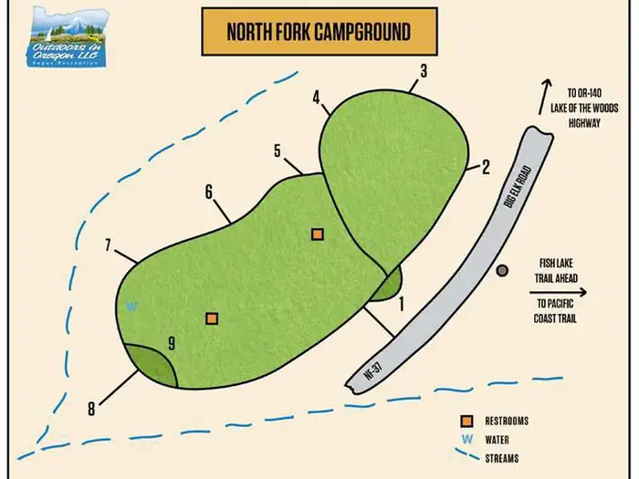
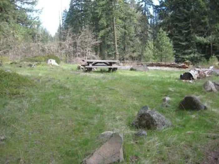
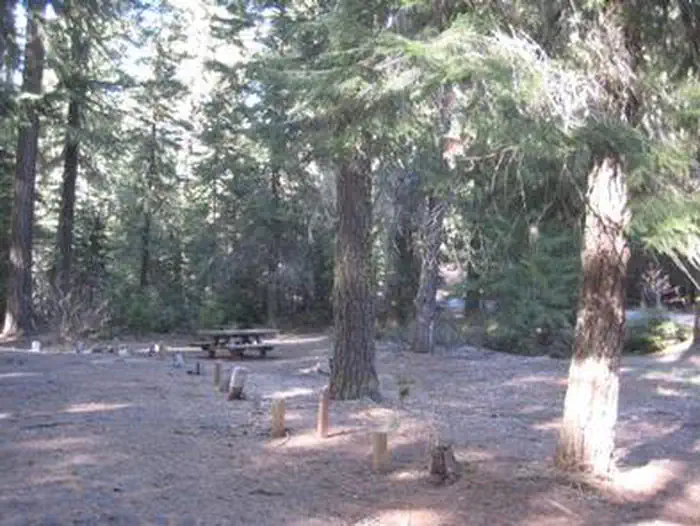
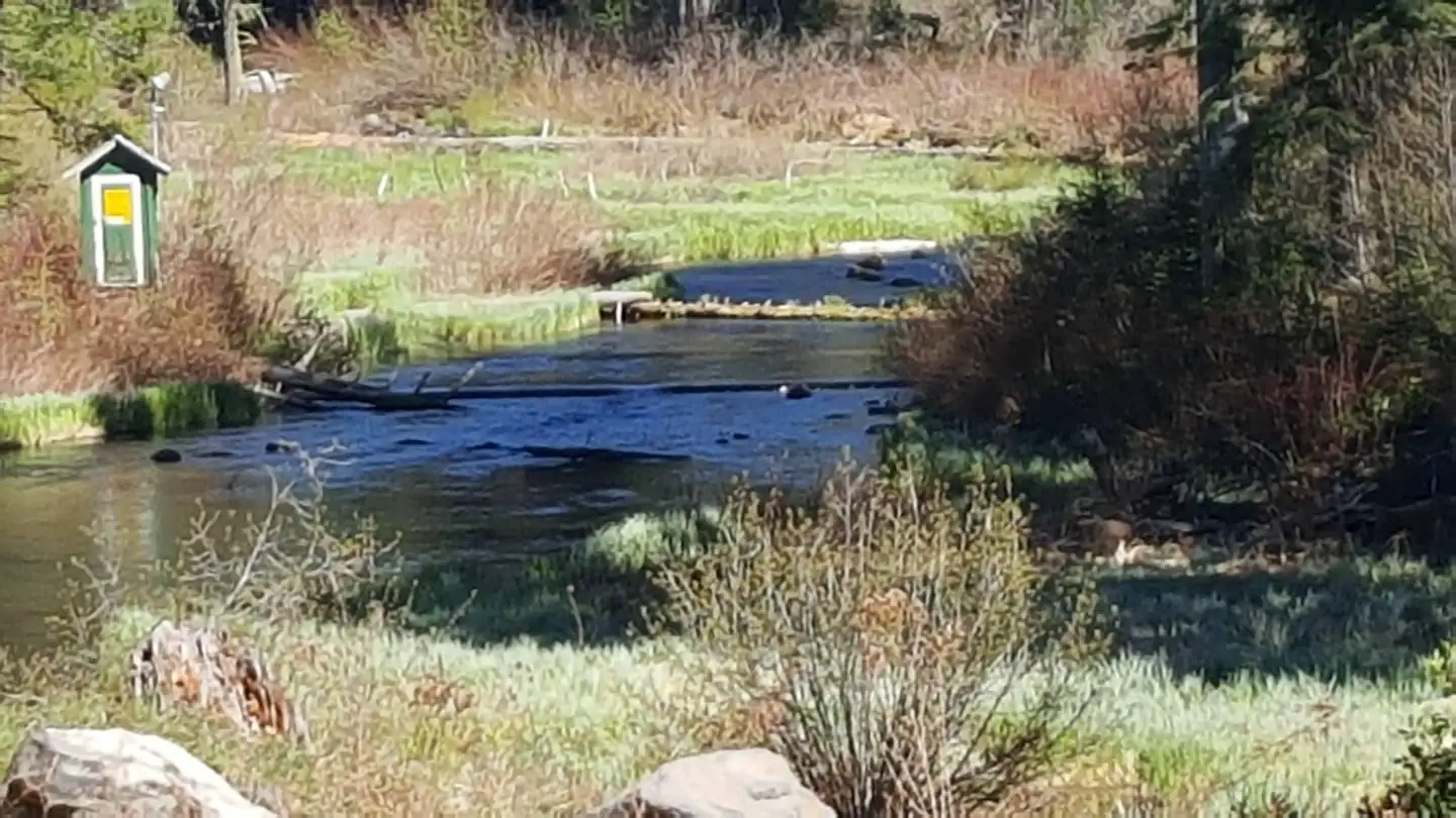
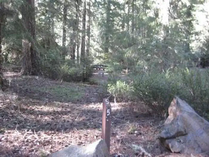
Overview North Fork Campground is a small campground is in the midst of old growth forest located off Forest Road 37 from Highway 140. Recreation Nearby hiking include Sky Lakes Wilderness, Brown Mountain, Pacific Crest Trail, Mount McCloughlin Trail and Fish Lake Trail. Facilities The campground has a vault toilet and drinking water available. Natural Features North Fork Campground offers easy access to Fish Lake, a premier fishing site supplied by over 45 underground volcanic streams. Contact Info For facility specific information, please call (541) 560-3400. Nearby Attractions A boat launch for Fish Lake which has a 10 m.p.h. speed limit, is within a few miles from this campground and a great location for fishing, kayaking, canoeing and paddle boarding . Amenities offered at nearby Fish Lake Resort include a cafe, small store and firewood.
From the managing agency.
Is NORTH FORK CAMPGROUND (OR) free?
We do not have a fee on record for NORTH FORK CAMPGROUND (OR). Confirm the cost locally before you go.
How do I get to NORTH FORK CAMPGROUND (OR)?
NORTH FORK CAMPGROUND (OR) is at 42.3775, -122.3606. We do not hold written directions for this one, so navigate to the coordinates.
Nearby
SourceSource data is agency published. Last synced September 19, 2026. Community reports and photos are submitted by travelers and are not verified by the agency.
