
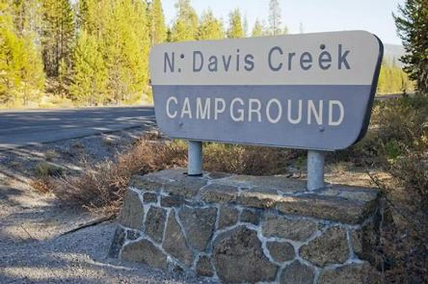
NORTH DAVIS CREEK CAMPGROUND
USFS · Campground · Fee
Fast facts
- Cost
- Fee charged
- Managed by
- USFS
- Type
- Campground
- Hours
- Quiet hours are 10:00 p.m. until 6:00 a.m.
- Reservations
- recreation.gov
- Phone
- 541-323-1746
- Nearest dump station
- Aspen Point Dump Station · 91.1 mi
- Coordinates
- 43.6738, -121.8239
- Last verified
- September 19, 2026
About this place
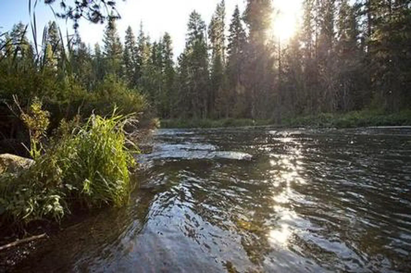
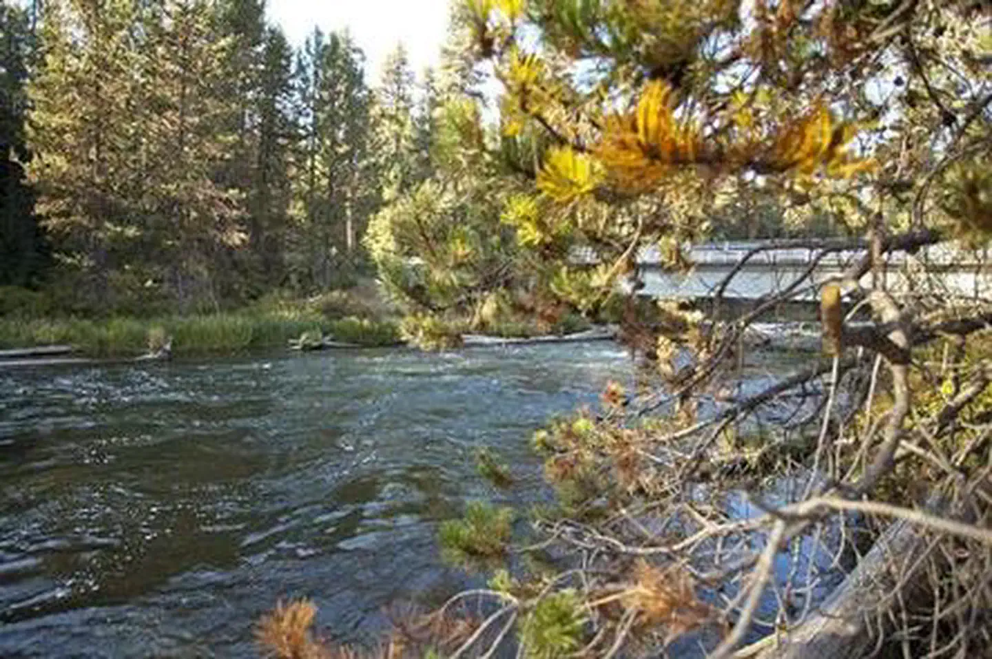
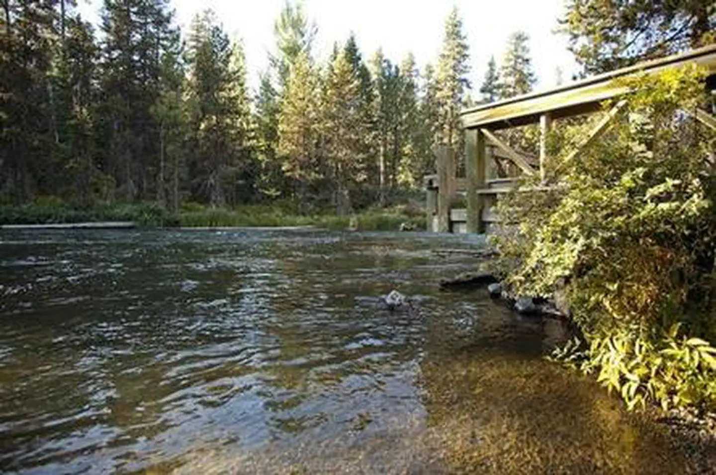
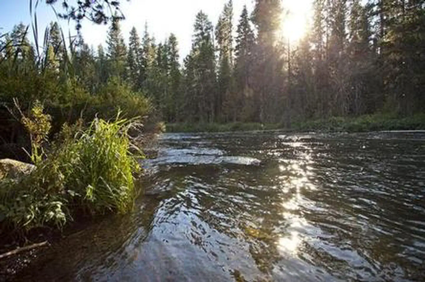
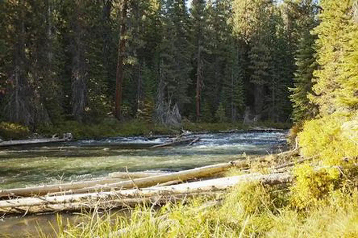
Overview This campground is now open as of August 3rd, 2026, on a First Come First Serve basis through October 17th, 2026. North Davis Creek Campground is located on the western arm of Wickiup Reservoir at the connection to North Davis Creek. This facility offers opportunities for wildlife viewing, as well as access, to Wickiup Reservoir and fishing. Recreation Wickiup Reservoir's relatively warm water and cooler deep channels generate opportunities for fishing. The area is renowned for its brown trout, as well as kokanee and Coho salmon, rainbow trout, brook trout, whitefish and chub. Visitors also enjoy boating, canoeing and swimming. Facilities North Davis Creek Campground can accommodate RV, trailer or tent-campers, however, water and electric hookups are not available. All sites are equipped with a picnic table and campfire ring with grill and the campground has vault toilets and drinking water available. Natural Features Located on Wickiup Reservoir, North Davis Creek Campground sits beneath a mixed conifer canopy near remnants of past lava flows. Nearby Attractions Visitors can explore wilderness areas, rivers, lakes and reservoirs, and approximately hundred of miles of trail. Newberry National Volcanic Monument, approxiately 45 minutes by vehicle, is a great starting point for visitors to learn about the diverse landscape and history of the area through interpretive programs and exhibits. Visitors can explore Lava River Cave, the longest continuous lava tube in Oregon. Visitors enjoy traveling the Cascade Lakes Scenic Bywaywhich climbs 66 miles through the Cascade Range, weaving past snow-capped peaks and alpine lakes. Charges & Cancellations Once your reservation start date has begun, neither the Recreation.gov Contact Center nor the campground manager will be able to modify your reservation.
From the USFS.Official page
Is NORTH DAVIS CREEK CAMPGROUND free?
No. NORTH DAVIS CREEK CAMPGROUND charges a fee. It is managed by the USFS. Sites are reservable through recreation.gov.
How do I get to NORTH DAVIS CREEK CAMPGROUND?
From Bend, OR: Travel 56.2 miles southwest on Cascade Lakes Hwy (46). The campground is on the east side of the highway.
What are the rules at NORTH DAVIS CREEK CAMPGROUND?
Maximum site spur length is 26 feet.
Nearby
SourceData from the USFS. Last synced September 19, 2026. Community reports and photos are submitted by travelers and are not verified by the agency.
