
NEWBERRY GROUP CAMP SITE
Campground · Fee not listed
Fast facts
- Cost
- Not listed. Check locally.
- Type
- Campground
- Phone
- 541-383-5300
- Coordinates
- 43.7061, -121.2569
- Last verified
- September 19, 2026
About this place
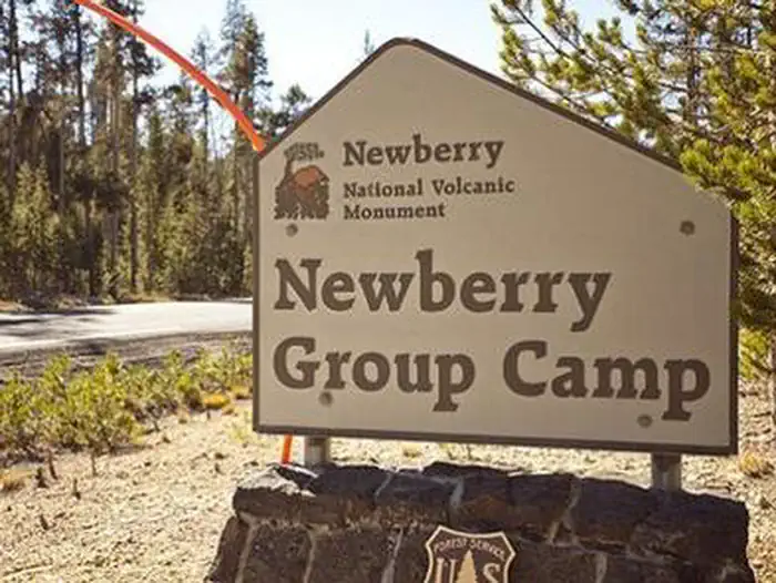
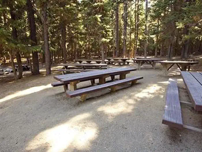
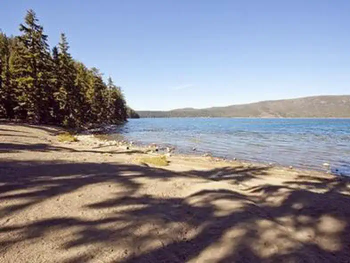
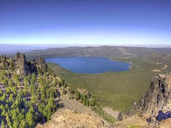
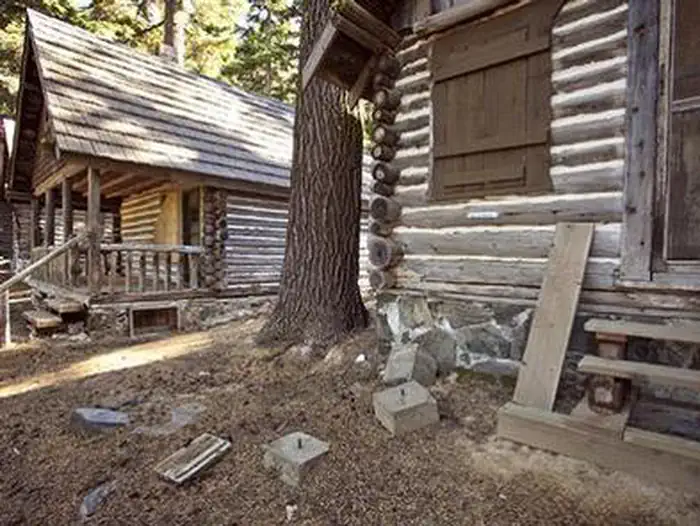
Overview Boasting some of central Oregon's most spectacular scenery, Newberry Group Campground is the only exclusive group site area within the Newberry National Volcanic Monument. Located along the south shore of Paulina Lake in Deschutes National Forest, this site offers a unique geological glimpse into the area's one-of-a-kind landscape and volcanic activity. For more information about the Newberry National Volcanic Monument, please visit: https://www.fs.usda.gov/recarea/deschutes/recarea/?recid=66159 Recreation The unique location of Newberry Group Campground offers outdoor enthusiasts fantastic opportunities for bird watching, boating, bicycling, sightseeing and hiking throughout the year. The Paulina Lakeshore loop trail passes thru this campground and offers a 7 mile stroll around Paulina Lake. Bird watchers may catch a glimpse of bald eagles and osprey nesting nearby. Common loon, Grebe, Tundra swan, Eurasian wigeon, American wigeon, Ring-necked duck, Goldeneye, and Hooded Merganser are lured to Paulina Lake as well. Visitors can drive or hike to the summit of nearby Paulina Peak to watch soaring raptors such as golden eagle, turkey vulture, prairie falcon and red-tailed hawk. Facilities Three separate group sites offer visitors opportunities for both lakeside and forest camping. Picnic areas, shoreline trails, and stunning views of the lake give visitors the opportunity to enjoy the outdoors. The parking area and roads throughout the campground are paved. Natural Features Paulina Lake is located within the collapsed caldera of Newberry Volcano. Nearly five miles in diameter, this caldera encircles the basins of Paulina Lake, and its twin, East Lake. Covering an area of 1,531 acres, Paulina Lake, the larger and deeper of the two, plunges to depths of 250 feet. Neither lake receives water from an inlet stream, but instead, are fed solely by rain, snowmelt, and hot springs. Paulina Creek drains the lake and has chiseled a narrow gorge through the caldera's west wall creating a remarkable twin waterfall. Thermal vents and hot springs along the lake's northeast edge help create a highly productive ecosystem. Wetlands, diverse forests, and rocky slopes near the campground provide a necessary habitat for shorebirds, racoon, deer, bats, and the occasional black bear. In September, the outlet of Paulina Lake may become choked with kokanee salmon swimming to spawn in Paulina Creek. Contact Info For facility specific information, please call (541) 323-1746. Nearby Attractions Visitors can explore wilderness areas, wild and scenic rivers, lakes and reservoirs, and approximately 1,600 miles of trails throughout Deschutes National Forest and the adjacent Ochoco National Forest. Lava Lands Visitor Center in nearby Bend, Oregon, offers visitors the opportunity to learn about the diverse landscape and history of the area through interpretive programs. Visitors can explore the Lava River Cave, also located in the Newberry National Volcanic Monument. At a length of 5,211 ft. (1,588 m), the northwest section of the cave is the longest continuous lava tube in Oregon. Charges & Cancellations Once your reservation start date has begun, neither the Recreation.gov Contact Center nor the campground manager will be able to modify your reservation.
From the managing agency.
Is NEWBERRY GROUP CAMP SITE free?
We do not have a fee on record for NEWBERRY GROUP CAMP SITE. Confirm the cost locally before you go.
How do I get to NEWBERRY GROUP CAMP SITE?
NEWBERRY GROUP CAMP SITE is at 43.7061, -121.2569. We do not hold written directions for this one, so navigate to the coordinates.
Nearby
- Newberry Group Campground0.1 mi
- Chief Paulina Horse Camp0.2 mi
- LITTLE CRATER CAMPGROUND0.8 mi
- Paulina Lake Campground1.0 mi
- EAST LAKE CAMPGROUND2.4 mi
- Hot Springs Campground2.9 mi
- Cinder Hill Campground3.5 mi
- Cinder Hill Campground3.5 mi
No other services within 50 mi on the record.
SourceSource data is agency published. Last synced September 19, 2026. Community reports and photos are submitted by travelers and are not verified by the agency.
