
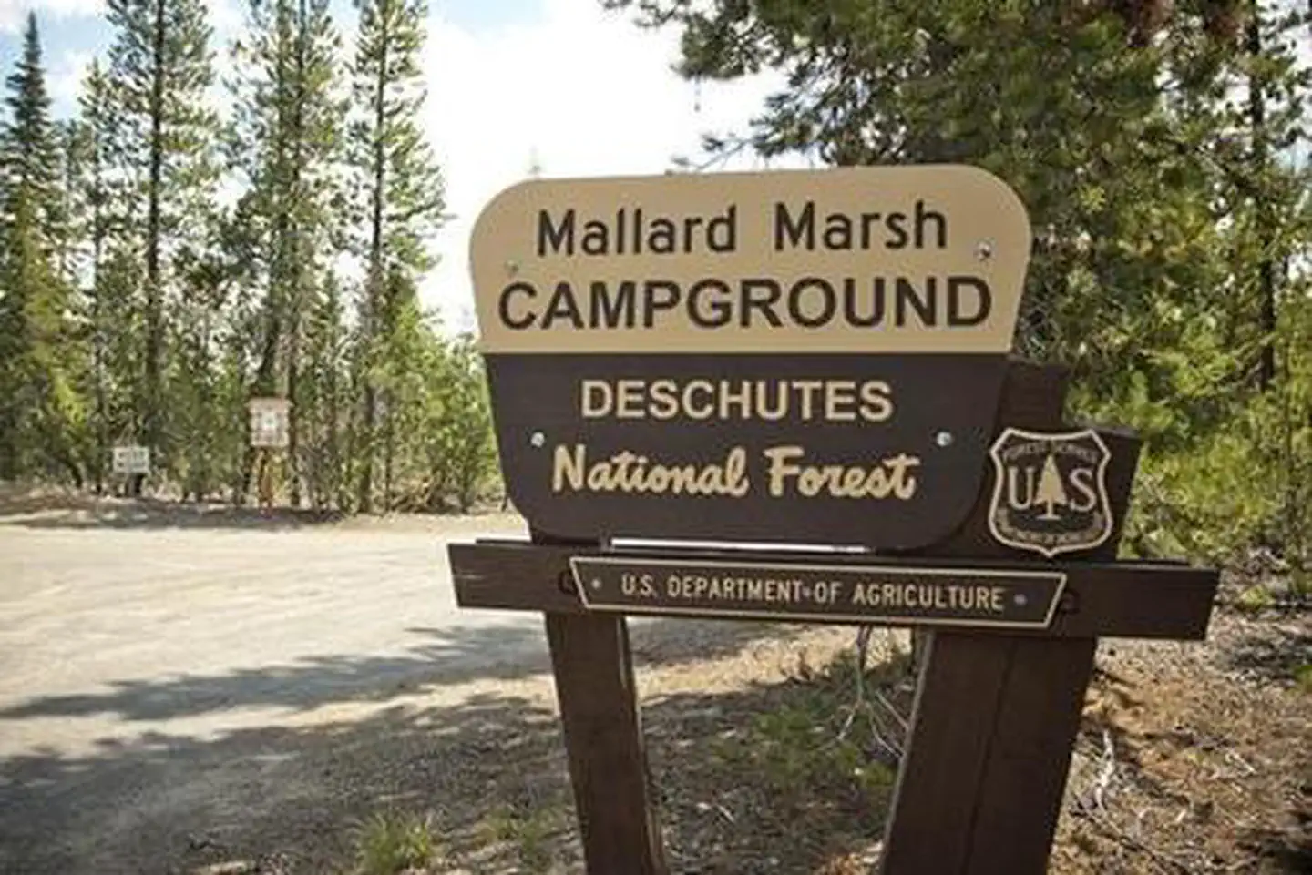
MALLARD MARSH CAMPGROUND
USFS · Campground · Fee
Fast facts
- Cost
- Fee charged
- Managed by
- USFS
- Type
- Campground
- Hours
- Quiet hours are 10:00 p.m. until 6:00 a.m.
- Reservations
- recreation.gov
- Phone
- 541-323-1746
- Coordinates
- 43.9633, -121.7857
- Last verified
- September 19, 2026
About this place
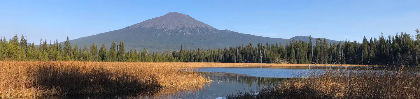
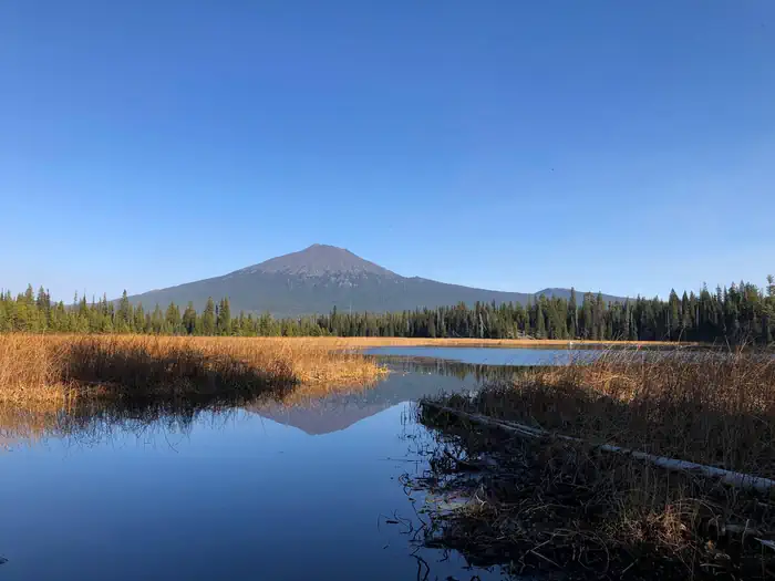
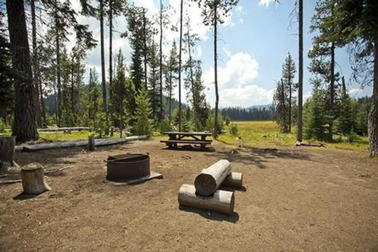
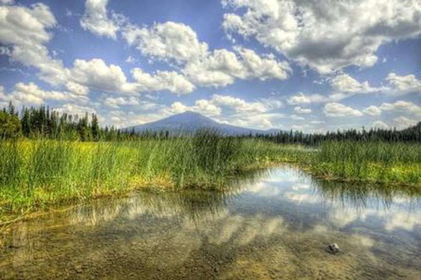
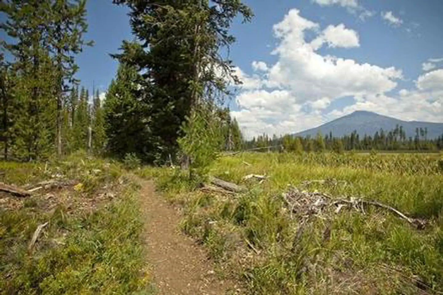
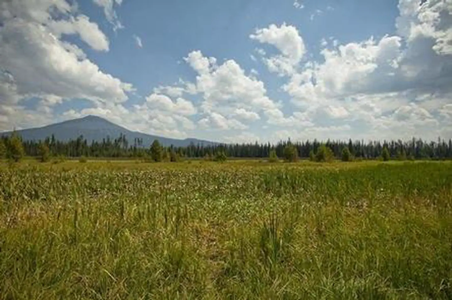
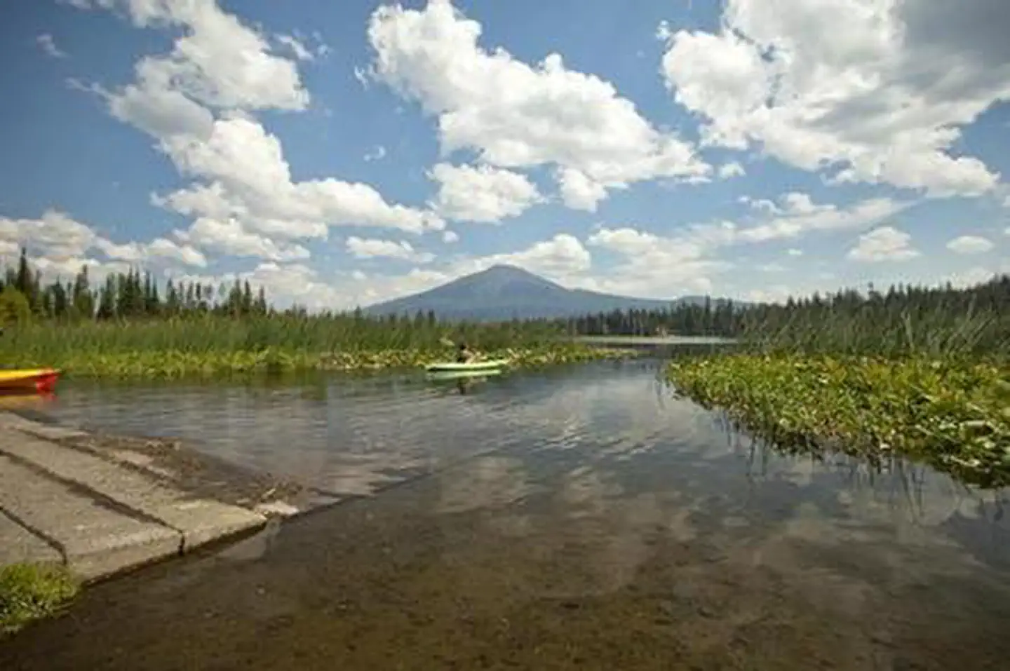
Overview Mallard Marsh Campground is located along the reed-lined shores of Hosmer Lake a popular destination for fly-fishing, paddling and birding. Recreation Nearby Hosmer Lake offers opportunities for fly fishing and boating as well as spectacular views. There are also trails and other opportunities for hiking and horseback riding nearby. Facilities This facility has vault toilets and each site is equipped with a picnic table and fire pit with grill. Please note campers will need to bring their own water supply. Natural Features At the north end of Hosmer Lake, water drains into a porous rim of lava. Hosmer is a “fly fishing only” lake well known for its breath taking views of Mt. Bachelor, South Sisters, Broken Top as well as wildlife viewing and the big Atlantic salmon, brook trout and rainbows that are quite visible in this shallow clear lake. The best way to experience this lake is by canoe or kayak as shore access is limited due to marshy vegetation. Nearby Attractions Visitors enjoy traveling the Cascade Lakes Scenic Byway which climbs 66-miles through the Cascade Range, weaving past snow-capped peaks and alpine lakes. Charges & Cancellations Once your reservation start date has begun, neither the Recreation.gov Contact Center nor the campground manager will be able to modify your reservation.
From the USFS.Official page
Is MALLARD MARSH CAMPGROUND free?
No. MALLARD MARSH CAMPGROUND charges a fee. It is managed by the USFS. Sites are reservable through recreation.gov.
How do I get to MALLARD MARSH CAMPGROUND?
From Bend, OR: Travel 35.5 miles southwest on Cascade Lakes Hwy (46), then 1.3 miles east on Forest Road 4625. South Campground will come up on the right side first and then Mallard Marsh.
What are the rules at MALLARD MARSH CAMPGROUND?
Maximum site spur length is 26 feet.
Nearby
- South Campground - Hosmer Lake (OR)0.1 mi
- South Campground0.1 mi
- Little Fawn Campground0.5 mi
- Little Fawn Group Campground0.5 mi
- Point Campground1.1 mi
- POINT CAMPGROUND - DESCHUTES1.2 mi
- ELK LAKE CAMPGROUND1.6 mi
- QUINN MEADOW HORSE CAMP2.4 mi
No other services within 50 mi on the record.
SourceData from the USFS. Last synced September 19, 2026. Community reports and photos are submitted by travelers and are not verified by the agency.
