
LOST CREEK
Campground · Fee not listed
Fast facts
- Cost
- Not listed. Check locally.
- Type
- Campground
- Phone
- 503-630-5721
- Coordinates
- 45.3821, -121.8366
- Last verified
- September 19, 2026
About this place
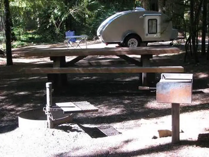
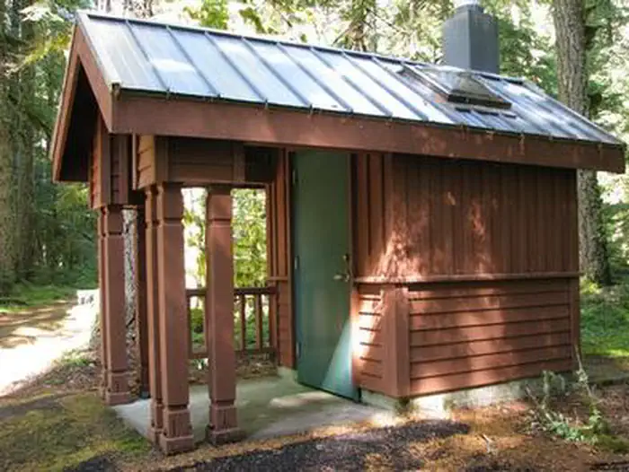
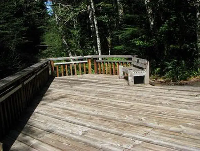
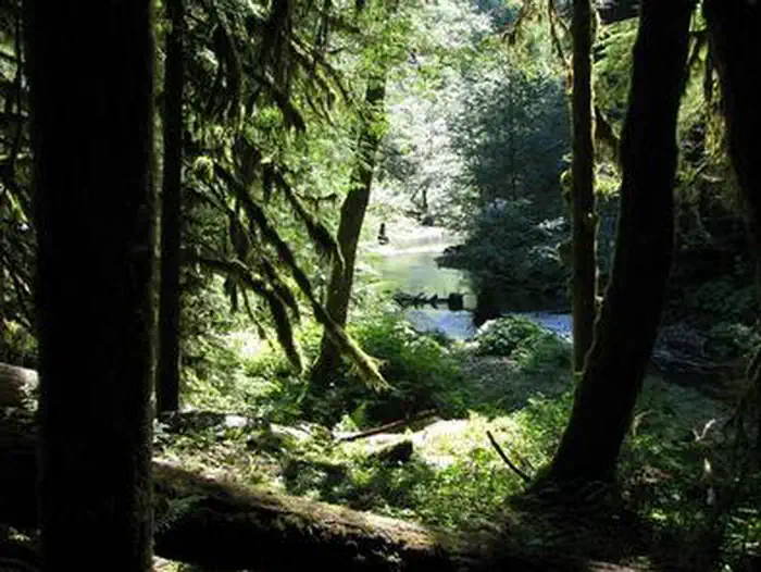
Overview Lost Creek Campground is a fully accessible campground allowing anyone access to campsites, fishing and a paved nature trail that meanders through the area. The campground is also near the Wild and Scenic Sandy River and not far from the popular Ramona Falls Trailhead. Mt. Hood is just southeast of the campground and is close enough for visitors to enjoy a day trip and sightseeing. Recreation A variety of trails exist within and near the campground, including the accessible Lost Creek Nature Trail, which explains events in history that helped form the area's geology. A deviation from the road coming into the campground (Forest Road 1825), will lead to a trailhead for spectacular Ramona Falls on the Sandy River. The 7.1-mile trail leads to cascading waterfalls and is one of the most popular hikes on the forest. Fishing is available in the Sandy River and anglers can expect steelhead year-round, Coho salmon in the fall and Chinook salmon from February through October. Trout also inhabit the river. Scenic driving and picnicking are popular activities as well. Facilities The campground is fully accessible and provides a variety of single, double and walk-to campsites. The structures can accommodate up to six campers each. Visitors must provide their own bedding. Picnic tables and campfire rings with grills are provided, as are accessible vault toilets and drinking water. Utility hookups are not available. Firewood is available for purchase from the campground host. Natural Features Moss and shrubbery covers the ground and evergreens tower overhead, providing ample shade for the campground and privacy between the individual and group campsites. The campground is situated in the Old Maid Flat area of Mt. Hood National Forest, northwest of majestic Mt. Hood at an elevation of about 2,600 feet. It sits on one of the largest pyroclastic volcanic mudflows from Mt. Hood's "Old Maid" eruption in the 1700s. Nearby Attractions The town of Government Camp is located at the base of Mt. Hood, about 18 miles from the campground. Year-round skiing is available there, as well as a variety of activities and amenities.
From the managing agency.
Is LOST CREEK free?
We do not have a fee on record for LOST CREEK. Confirm the cost locally before you go.
How do I get to LOST CREEK?
LOST CREEK is at 45.3821, -121.8366. We do not hold written directions for this one, so navigate to the coordinates.
Nearby
- Lost Creek Campground0.0 mi
- RILEY HORSE CAMPGROUND1.2 mi
- Mcneil Campground1.5 mi
- Tollgate Campground/Day-use5.3 mi
- TOLLGATE5.3 mi
- Camp Creek Campground5.5 mi
- CAMP CREEK5.5 mi
- LOST LAKE RESORT AND CAMPGROUND7.4 mi
No other services within 50 mi on the record.
SourceSource data is agency published. Last synced September 19, 2026. Community reports and photos are submitted by travelers and are not verified by the agency.
