
IDLEWILD
Campground · Fee not listed
Fast facts
- Cost
- Not listed. Check locally.
- Type
- Campground
- Phone
- 541-573-4300
- Nearest dump station
- Bull Prairie Campground · 87.9 mi
- Coordinates
- 43.7992, -118.9914
- Last verified
- September 19, 2026
About this place
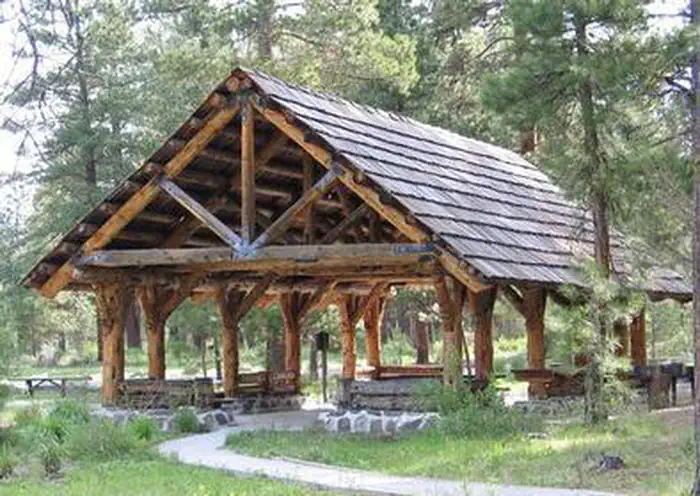
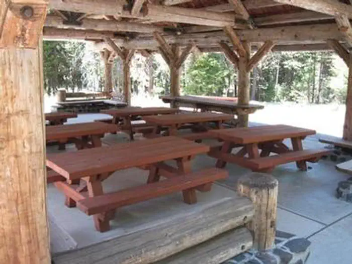
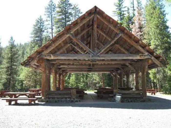
Overview Idlewild Campground is the perfect place for large gatherings in any weather. In sun, rain or snow, there are plenty of ways to enjoy the outdoors while spending time with friends and family. The campground is situated along Highway 395 north of Burns, Oregon. In the summer, it is popular with hikers and mountain bikers. In the winter, visitors can snowmobile and cross-country ski. Recreation Idlewild offers opportunities for camping, picnicking, hiking and mountain biking. Devine Summit Trail begins within the campground. Snowmobiling and cross-country skiing bring visitors to the area in the winter. Facilities Idlewild contains one accessible, group day-use picnic shelter available for reservations for up to 75 people. It is equipped with picnic tables, a campfire ring and grills. Vault toilets and drinking water are provided. Individual sites for overnight camping are available on a first-come, first-served basis. Natural Features The campground is situated at an elevation of 5,000 feet in a large stand of Ponderosa pines. The group shelter sits near a meadow within Idlewild Campground. The Malheur National Forest encompasses 1.46 million acres in the Blue Mountains of eastern Oregon. The forest's dramatic landscapes include the Strawberry Mountain Wilderness, with 9,038' Strawberry Mountain, which extends east to west through the heart of the forest, and the Monument Rock Wilderness along the eastern boundary. Nearby Attractions The campground is located a short drive from Burns, Oregon. There are horse trails and equestrian camping within 10 miles of Idlewild. Contact Info For facility specific information, please call (541) 575-3131.
From the managing agency.
Is IDLEWILD free?
We do not have a fee on record for IDLEWILD. Confirm the cost locally before you go.
How do I get to IDLEWILD?
IDLEWILD is at 43.7992, -118.9914. We do not hold written directions for this one, so navigate to the coordinates.
Nearby
SourceSource data is agency published. Last synced September 19, 2026. Community reports and photos are submitted by travelers and are not verified by the agency.
