
FOURBIT FORD CAMPGROUND
USFS · Campground · Fee
Fast facts
- Cost
- Fee charged
- Managed by
- USFS
- Type
- Campground
- Reservations
- recreation.gov
- Phone
- 541-560-3900
- Nearest dump station
- Aspen Point Dump Station · 12.7 mi
- Coordinates
- 42.5008, -122.4042
- Last verified
- September 19, 2026


About this place
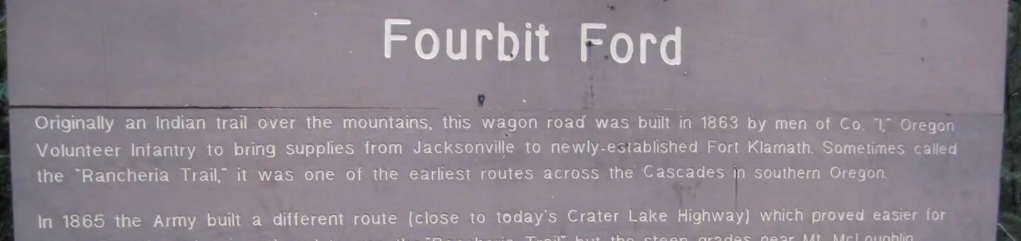
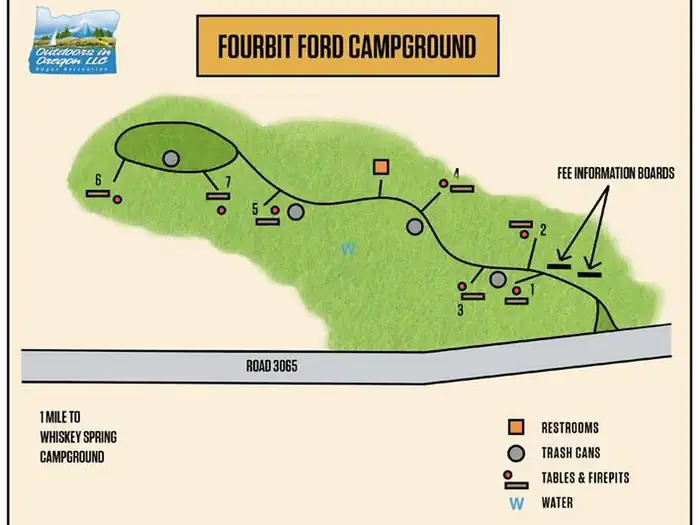
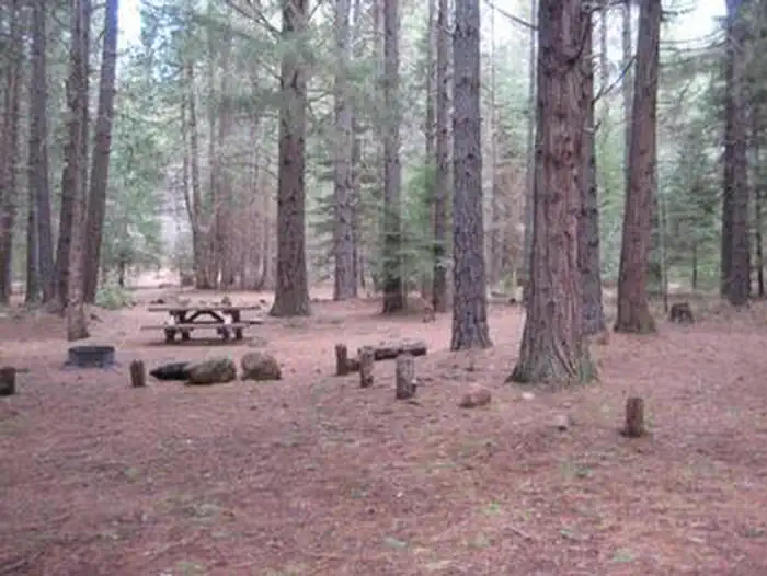
Overview Fourbit Ford Campground is situated near Fourbit Creek about a mile off of Butte Falls Highway in a pine dominated forest setting. Recreation Numerous hiking trails are within easy access, including the Mt. McLaughlin Trail #3716. Facilities Drinking water is available at nearby Whiskey Springs Campground. The campground has one vault toilet. Natural Features Quiet and secluded this campground is located on the site of the original supply road (Old Military Road) for Fort Klamath. Contact Info For facility specific information, please call (541) 560-3400. Nearby Attractions Nearby Willow Lake is located off of the Butte Falls highway with an expansive 927 acres of recreational activities including hiking trails, swimming, fishing, camping and boating,
From the USFS.Official page
Is FOURBIT FORD CAMPGROUND free?
No. FOURBIT FORD CAMPGROUND charges a fee. It is managed by the USFS. Sites are reservable through recreation.gov.
How do I get to FOURBIT FORD CAMPGROUND?
From Medford, OR, travel north approximately 16 miles on Highway 62 going through Eagle Point, OR, to the Butte Falls / Willow Lake turnoff. ; Turn east (right) and travel 16 miles to the town of Butte Falls, OR. ; Continue through Butte Falls, OR, on County Road 821 for 9.1 miles to Forest Road 3065. ; Turn north (left) and travel 1.4 miles to the campground entrance to the west (left).
What are the rules at FOURBIT FORD CAMPGROUND?
Quiet hours between 10 p.m. and 6 a.m.Campfires in developed fire pits onlyFireworks are prohibitedDogs must be on leashOHV/ATV use prohibited in the campground
Nearby
SourceData from the USFS. Last synced September 19, 2026. Community reports and photos are submitted by travelers and are not verified by the agency.
