
DRIFTWOOD CAMPGROUND - DESCHUTES
Campground · Fee not listed
Fast facts
- Cost
- Not listed. Check locally.
- Type
- Campground
- Phone
- 541-323-1746
- Coordinates
- 44.1008, -121.6304
- Last verified
- September 19, 2026
About this place
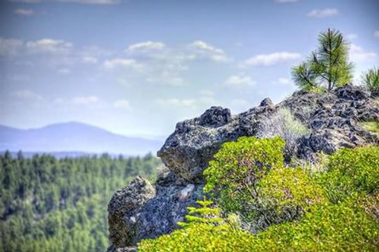
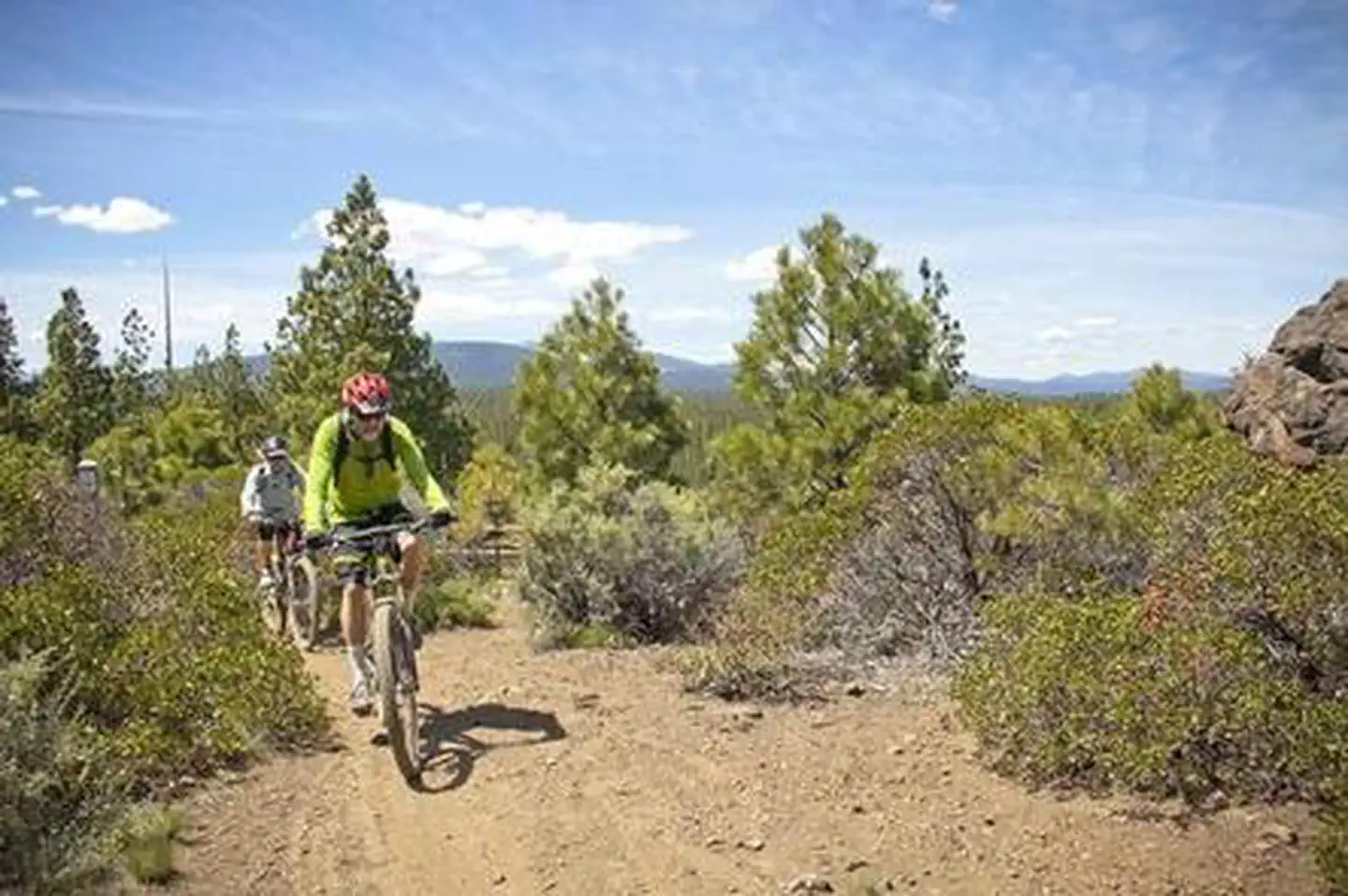
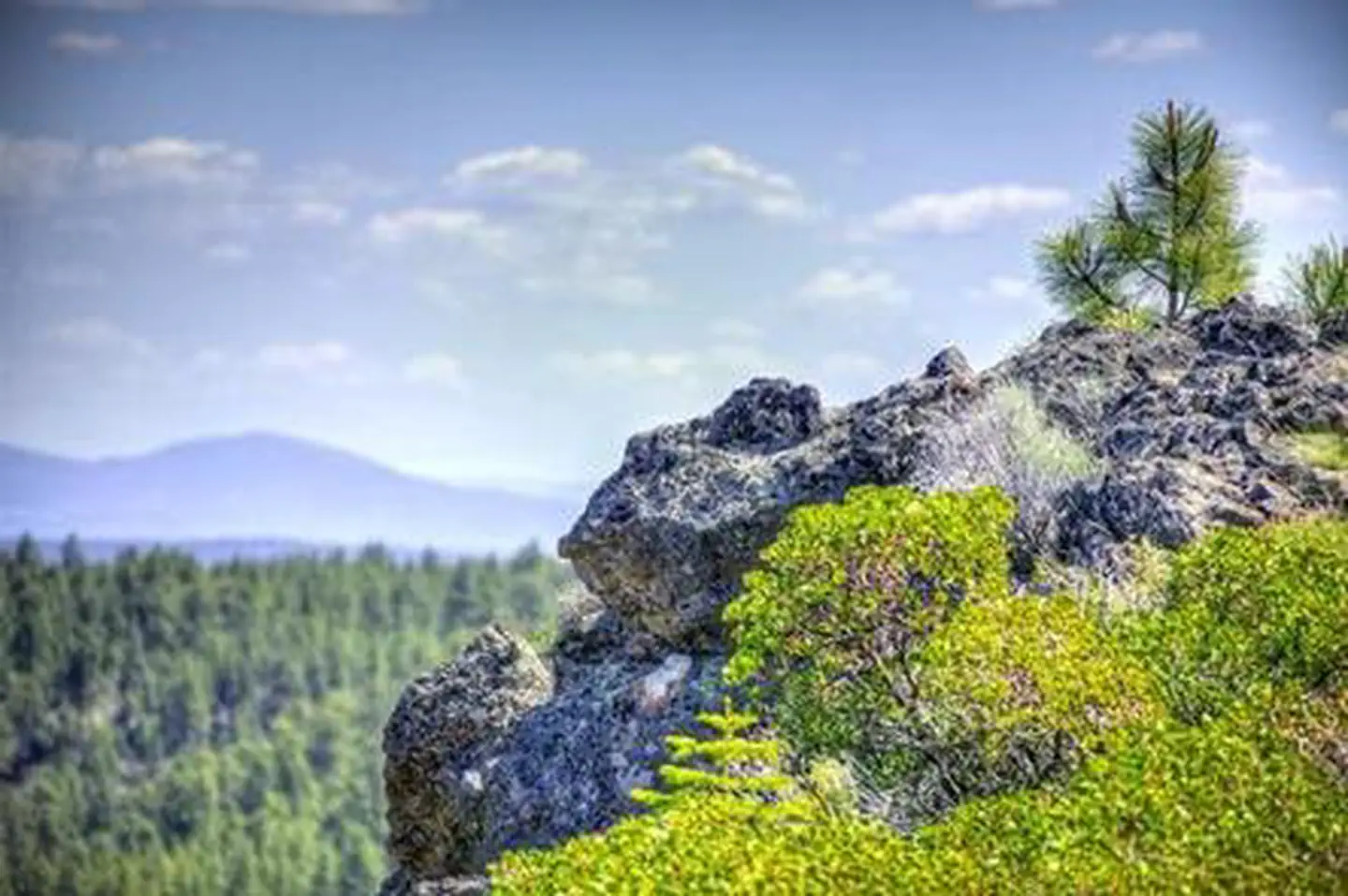
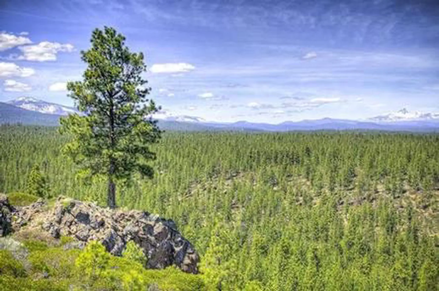
Overview Driftwood Campground is the first of four facilities located on Three Creeks Lake and provides campers with beautiful views of the water and surrounding nature. Recreation Driftwood Campground is at the head of the Tam McArthur Trail which is a short, reasonably easy hike that provides great views of the Sisters - Faith (North), Hope (Middle) and Charity (South). The Three Sisters are volcanic peaks and are the third-, fourth- and fifth-highest peaks in Oregon. Three Creeks Lake is easy to fish from shore or by wading, but boat fishing is the most popular method. Only non-motorized boating is allowed. Facilities Driftwood Campground can accommodate tent only. This is a no water facility so campers will need to bring their own supply. All sites are equipped with a picnic table and campfire ring with grill and the campground has vault toilets available. Natural Features All sites in this campground fall on the lakeside providing campers with wonderful views of adjacent Three Creeks Lake. Located in a glacial cirque below Tam McArthur Rim, the lake is 28-acre alpine gem with an elevation of 6,550 ft. surrounded by old growth forest. The outlet stream from the lake flows northward and is joined by two other streams to form Three Creek. The shoreline of Three Creek Lake varies from gentle slope to rocky cliff. Maximum depth is 28 feet down the center and near the cliff on the south end of the lake. Nearby Attractions The close proximity to the town of Sisters offers many additional amenities and attractions, as well as the nearby Tam McArthur Trail and Sisters Wilderness Trails. Visitors can explore wilderness areas, rivers, lakes and reservoirs, and approximately 1,600 miles of trails that comprise nearly 2.5 million acres within the Deschutes National Forest and the adjacent Ochoco National Forest. Many enjoy traveling the Cascade Lakes Scenic Byway, known as Oregon's Highway in the Sky, which climbs into the clouds on a 66-mile drive through the Cascade Range, weaving past snow-capped peaks and alpine lakes. To the north the Camp Sherman Fish Viewing Platform allows visitors the chance to view a variety of types of fish while the Metolius Research Natural Area gives bird watchers ample opportunities. Visit the Metolius Fish Hatchery or Wizard Falls Fish Hatchery display ponds to observe and feed different types of salmon and other fish. The Metolius-Windigo Trail, open to hikers, bikers and horses, is more than 100 miles in length and begins near the Metolius River headwaters west of the town of Sisters, Oregon. The trail was created in the 1980s primarily to serve long-distance horse riders seeking an alternative to the Pacific Crest Trail. Lava Lands Visitor Center in nearby Bend, Oregon, and the unique geological landscape of Newberry National Volcanic Monument draw visitors to the region as well. It is a great starting point for visitors to learn about the diverse landscape and history of the area through interpretive programs and exhibits. Visitors can also explore the Lava River Cave, located in the Newberry National Volcanic Monument. At 5,211 feet in length, the northwest section of the cave is the longest continuous lava tube in Oregon. Charges & Cancellations Once your reservation start date has begun, neither the Recreation.gov Contact Center nor the campground manager will be able to modify your reservation.
From the managing agency.
Is DRIFTWOOD CAMPGROUND - DESCHUTES free?
We do not have a fee on record for DRIFTWOOD CAMPGROUND - DESCHUTES. Confirm the cost locally before you go.
How do I get to DRIFTWOOD CAMPGROUND - DESCHUTES?
DRIFTWOOD CAMPGROUND - DESCHUTES is at 44.1008, -121.6304. We do not hold written directions for this one, so navigate to the coordinates.
Nearby
- Driftwood Campground0.2 mi
- Three Creek Lake Campground0.5 mi
- THREE CREEKS LAKE CAMPGROUND0.5 mi
- Three Creek Meadow Campground0.8 mi
- THREE CREEKS MEADOW HORSE CAMP2.1 mi
- THREE CREEKS MEADOW CAMPGROUND2.7 mi
- Todd Creek Horse Camp6.4 mi
- SODA CREEK CAMPGROUND7.1 mi
No other services within 50 mi on the record.
SourceSource data is agency published. Last synced September 19, 2026. Community reports and photos are submitted by travelers and are not verified by the agency.
