
Chimney Rock Campground
BLM · Campground · Fee
Fast facts
- Cost
- Fee charged
- Managed by
- BLM
- Type
- Campground
- Phone
- 541-416-6700
- Nearest dump station
- Bull Prairie Campground · 81.3 mi
- Coordinates
- 44.1354, -120.8142
- Last verified
- September 19, 2026
About this place
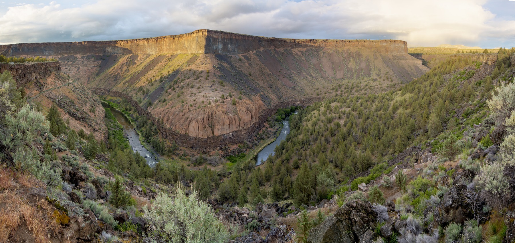
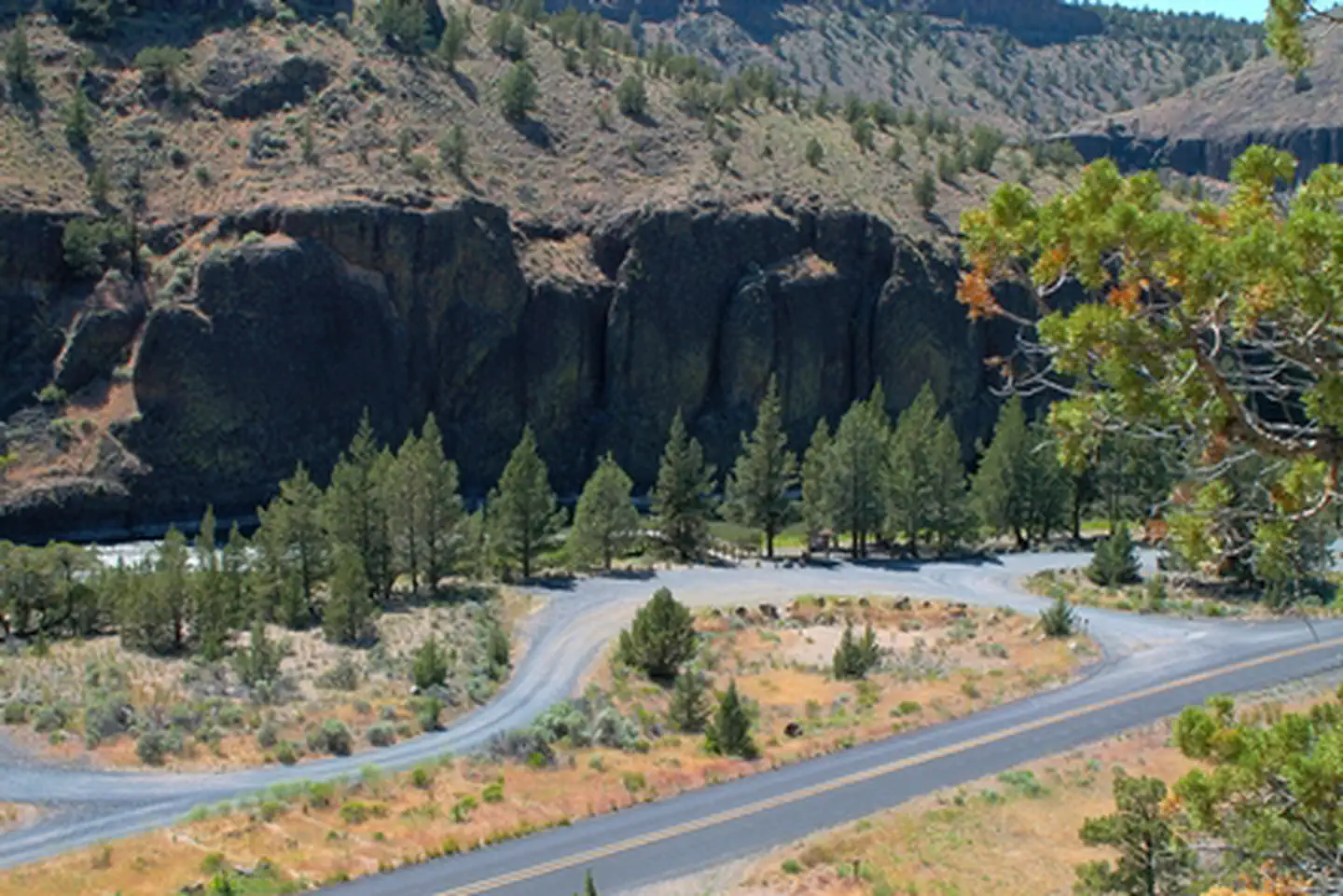
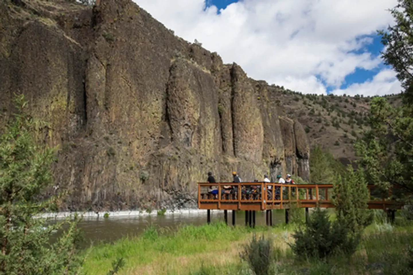
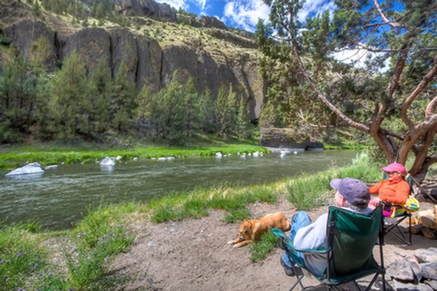
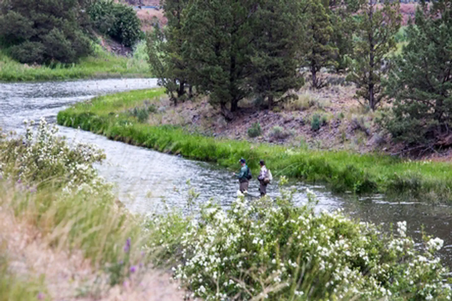
Along the Chimney Rock segment of Central Oregon's Crooked Wild and Scenic River, Chimney Rock campground offers a relaxing woodland setting amongst Western Juniper trees and beneath massive Columbia River rock formations. Fly-fishing and hiking on the nearby Chimney Rock trail offer day-long recreational fun. Enjoy plenty of easy river access along the adjacent Crooked River Back Country Byway, State Highway 27. Know Before You Go Chimney Rock Campground is open year-round and is equipped with 16 campsites and vault toilets. No reservations are accepted; site is first-come, first-served only. Water is available in the campground and an accessible fishing platform is located near the campground entrance. When recreating on public lands, practice Leave-No-Trace Principles. Don't Move Firewood: Please protect Pacific Northwest forests by preventing the spread of invasive species. Firewood can carry insects and diseases that can threaten the health of our western forests. You can make a difference by obtaining and burning your firewood near your camping destination. Point of Interest Check out the campground's namesake butte located prominently above highway 27 opposite the campground. Access to the trailhead is across the highway at the Chimney Rock Trailhead . For a different view, visitors can ride the 18-mile Crooked River Canyon Scenic Bikeway from Prineville to Big Bend Campground. Designated in 2018, this moderate route takes riders from picturesque farms to towering cliffs.
From the BLM.Official page
Is Chimney Rock Campground free?
No. Chimney Rock Campground charges a fee. It is managed by the BLM.
How do I get to Chimney Rock Campground?
Chimney Rock Campground is at 44.1354, -120.8142. We do not hold written directions for this one, so navigate to the coordinates.
Nearby
SourceData from the BLM. Last synced September 19, 2026. Community reports and photos are submitted by travelers and are not verified by the agency.
